
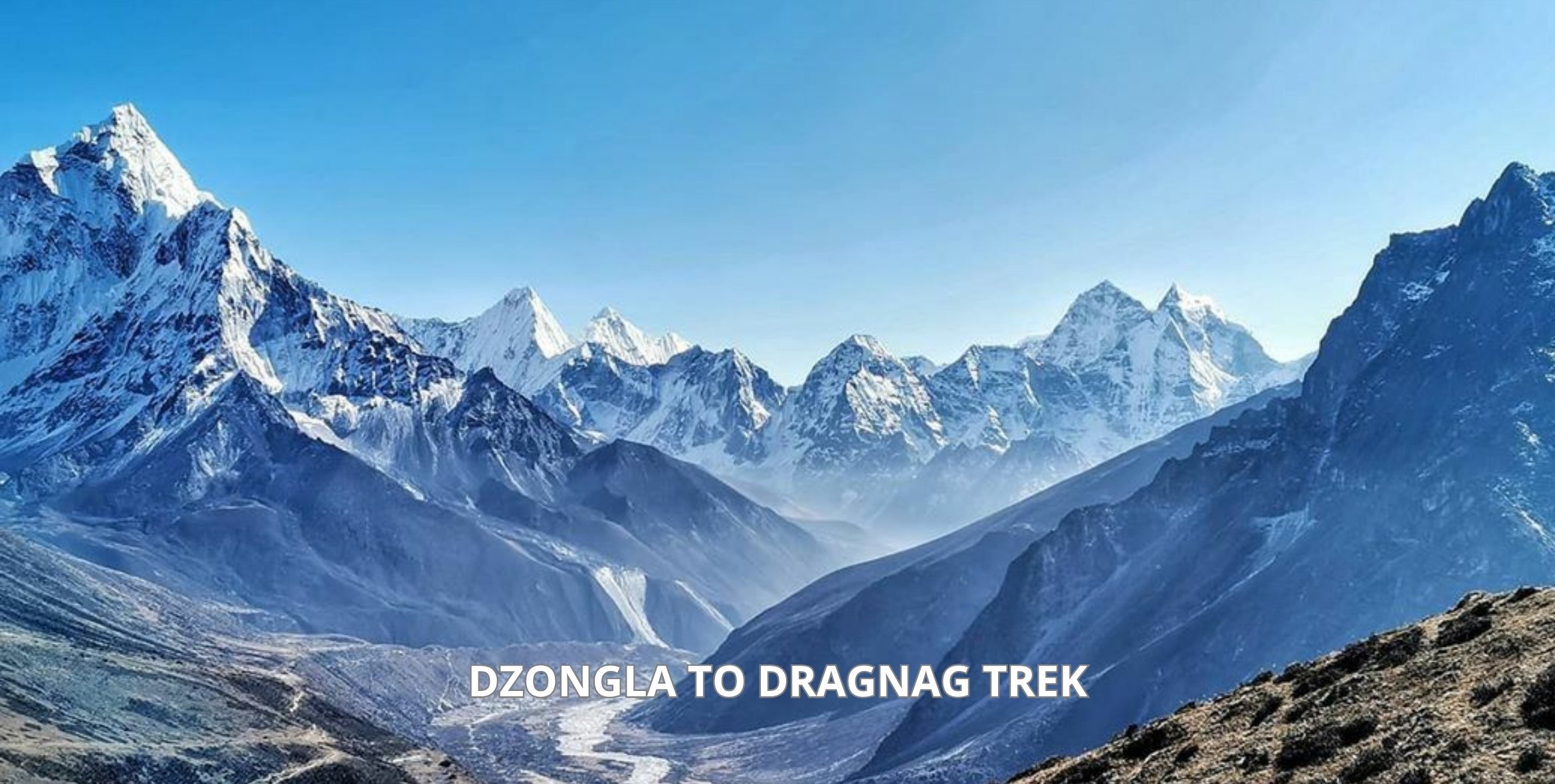
The crossing from Dzongla to Dragnag goes through the Cho La Pass that lies at 5,420 m and is 8 to 9.5 km. The trip requires 6 to 8 hours and must start early in the morning, before dawn. First, you climb the steep ascent to the pass, then walk across a short glacier using microspikes, then descend a loose rocky slope to the destination point (Dragnag), which is situated at 4,700 m above the sea level. This is not a technical climb, however, for most of the trekkers, it is the hardest day of the entire trip.
You must have seen the photo: a person stands in a pass, surrounded by prayer flags; there is a glacier and high mountains everywhere. This is the Cho La Pass and the reason why most of the people join the expedition.
However, the photo does not tell you anything about the alarm clock that rings at 4:30 in the morning; or the ice under your boots; or the long, loose descent after the pass.
In theory, the distance of the trek is rather small – 9 km. However, most of the elevation gain falls into one steep stretch above 5,000 m.
So is it actually possible to do? Yes. Fit trekkers usually can, provided they are properly acclimatized and start early enough.
The following guide takes you through all the segments of the day, from the first level hour outside Dzongla to the tea waiting for you in Dragnag.
On our Everest Three Passes Trek, this crossing is Day 11. Want a guide beside you who knows the glacier line by heart? Talk to our team and get your itinerary sorted today.

Dzongla to Dragnag Key Facts
Before we get into the trail, here are the numbers you need to plan the day. They come from GPS logs, route maps and our own itineraries.
| What | Details |
|---|---|
| Start | Dzongla (also spelled Dzonglha), about 4,830 m |
| High point | Cho La Pass, 5,420 m |
| End | Dragnag (also spelled Thagnak), about 4,700 m |
| Distance | About 8 to 9.5 km |
| Climb and descent | About 600 to 850 m up, about 700 m down |
| Walking time | 6 to 8 hours with breaks |
| Terrain | Flat trail, boulder gully, glacier ice, steep loose moraine |
| Key gear | Microspikes, trekking poles, headlamp |
| Food on the route | None, so carry lunch from Dzongla |
Why the ranges? Because a GPS watch or map measures this route differently from the way a straight line crosses the glacier.
It takes about six hours for an efficient couple and about eight hours for a slower group with rests. But better be prepared for the worst and treat everything else as a bonus. This is same for all trek that includes this route in their itinerary like Everest Three Passes Trek, Everest Two Passes Trek & so on.
Where This Day Fits in Your Everest Trek
Cho La is the connecting point between two valleys. One of the valleys is Khumbu Valley, which comprises Everest Base Camp and Kala Patthar. The other valley is Gokyo valley, known for its blue lakes and long grey Ngozumpa Glacier.
In case of your Three Passes route, you will first pass through Kongma La Pass. Then, you will visit the Base Camp and climb Kala Patthar the previous day, and descend to Dzonglha that very day. Cho La is Day 11 of the trek, while Renjo La Pass follows after three days from here.

This sequence is not arbitrary, since by the time you get to Dzongla, you have already stayed overnight at Gorak Shep, which is 5,140 meters above sea level. Your body is accustomed to high altitude, and that makes your climb to 5,420 meters much safer than an earlier one in the trek.
On the Everest Two Passes Trek, you hike from Dingboche to Dzongla and cross Cho La during Day 9. On Cho La, it is your first major pass trek, hence your legs will be much fresher. If this is the route that you follow, then you should use our Dingboche to Lobuche itinerary which features the leg before you turn off.

There is only one little issue that confuses a number of folks. The Sherpa language is an unwritten language, thus there are different spellings of English translations.
Dzongla can be called Dzonglha or Zongla and Dragnag can be known as Thagnak, Thangnak or Dragnak. It is the same two villages.
Dzongla is basically a few stone cabins in a cold and exposed valley below Cholatse. You find most hikers gathering around the stove at the dining room most evenings, eating early dinners and discussing tomorrow’s plans.
The Cho La Crossing, Section by Section
Here’s how the day breaks down. The times below assume a 5 am start and a steady, unhurried pace.
Leaving Dzongla: The Easy First Hour (5:00 to 6:00 am)
You set off with a headlamp. The ground crunches with frost, and your breath appears in the light. Behind you, Cholatse and Ama Dablam become increasingly pink as the sun rises.
For the first 45-60 minutes, it’s relatively flat. The trail goes northwest over the valley bottom along an easy dirt track.
This is where the joke is. It’s impossible to spot the pass from Dzongla at all, so there’s no point in wasting energy trying to figure out which one it is.
Take things slower than seems necessary. This easy hour convinces hikers to go at a quicker pace. You’ll need it two hours from now.
The Boulder Gully Up to the Glacier (6:00 to 8:00 am)
After a stream, the trail goes up in a steep gully filled with many rocks. This marks the point where the tough journey starts. Most of the climbing happens in about 2 km before reaching the summit making the ascent rather steep over the distance.
The terrain isn’t difficult to climb. It is altitude that becomes an obstacle to progress once over 5,000 m above the sea level, and only a few strides may cause a breathlessness as if you climbed some stairs.
Do what guides do. Take 20 paces forward very slowly and stop to take three big breathes and continue. Don’t forget to look back now and then since the view towards the beautiful green lake below Dzongla is spectacular and unforgettable.
Crossing the Cho La Glacier (8:00 to 9:00 am)
And at the top of the gully the glacier shows itself. There is first a wall of old grey ice, and then there is a slope of white ice going up to the pass. In the early morning the surface is hard and slippery, similar to that of an iced-over car park.
This is the place where microspikes are put on. Normally you wear microspikes for under an hour, thus this part of the trip takes not much time.
What is dangerous here is not the distance. This is getting off the safe path.
Always follow closely behind your guide and step where he steps. Old maps recommended trekkers to walk on the left, southern side of the glacier, keeping away from the center. Your guide determines the safe path every year.
The Final Climb to the Pass (9:00 to 10:00 am)
The final section to the prayer flags is a steep scrambling section. The loose rock and scree are very close to the ice. This is definitely the wrong place to try improvising a route for yourself.
A solo hiker once left the trail toward the top, ending up on loose scree with a drop underneath. Although he managed to make it across successfully, his story is the exact reason why you always stay on the established route on this mountain.
Finally, you have reached the summit. The prayer flags are flapping in the wind as you can see Lobuche East and Cholatse just nearby. Since it is rather cold, put on your down jacket and take some pictures, but start going down after 15 minutes.
Descending the Steep Moraine (10:00 am to Noon)
It would seem that the difficult part was behind you. Not really. The Dragnag side does not have any ice, but it has an extremely steep descent of loose scree.
The danger of rocks rolling from above means that you should stay back from the person ahead of you. Never stop for a rest below any loose slopes. Here, use both of your trekking poles, since tired legs combined with loose terrain make ankles sprain.
Further along, you will have to cross a river. When you are hiking in the early hours of the morning or after new snow, the rocks of the river may be slippery.
The Last Rise and the Long Walk Into Dragnag (Noon to 2:00 pm)
There is only one more ascent on the flat part where a small rise will be indicated by a flag. After the pass, it becomes somewhat cruel but from up there you will have an opportunity to look at the trail descending in the valley.
All that remains is the gradual descent along the path next to the stream. Sometimes people miss the path especially when they get tired and spread in the group. Follow the stone cairns and do not lose sight of your guide.
Dragnag, several small lodges close to the giant rubble-filled Ngozumpa Glacier, will come into view. Go inside and be greeted by the aroma of garlic soup and dal bhat right at the door. Most of the trekking people reach here at noon or at two PM absolutely exhausted but extremely joyful.
Why You Must Start Dzongla to Dragnag Trek Before Dawn?
Have you ever thought about why all groups in Dzongla have an early start? It is not by chance, there are three valid reasons for that.
Firstly, it is the ice. In cold morning air, the glacier is firm enough to allow the use of microspikes. After a while, when the sun melts it, the ice gets too soft for trekking.
Secondly, the wind. According to local lodge owners, trekkers should arrive at the pass no later than 10 am, since the wind on top increases during the late morning. Wind on your way up will be the last thing you need.
Thirdly, daylight. As the path down is slow, and some people need more time than expected, leaving at 5 or 6 am leaves one enough time to deal with any unexpected situations.
What will happen if you decide to leave at 8 am? You will face the softer ice, the stronger wind, and a tired hike in the afternoon. Having breakfast by a headlamp will cost you much less than facing these problems.
How Hard Is the Dzongla to Dragnag Trek?
Let’s be honest. This is the day most people remember as the toughest of their trek.
But hard does not mean technical. You do not need ropes, a harness or any climbing skill.
The difficulty comes from stacking several things into one day. Here is what actually makes it tough:
- Altitude. At 5,420 m, each breath carries roughly half the oxygen it does at sea level, so every step costs more.
- The steep climb. Most of the height gain sits in one short stretch, with no gentle warm-up.
- The ice. The glacier is short, but it is slippery, and it is where your full focus matters most.
- The descent. Loose rock on tired legs is where most slips happen.
- The length. Six to eight hours above 4,700 m drains even strong walkers.
Should you have climbed Kala Patthar on the previous day, the Cho La approach would be no different in terms of effort. However, the difference lies in the fact that now you will add a glacier and a very difficult descent. Therefore, it is not something new but simply more of it.
While physical fitness plays no major role in this case, acclimatization becomes very important indeed. Even a marathon runner who had hurried up during the ascension can be in worse shape than a slower hiker who made sure to take all of his rests. Our Three Passes Trek difficulty level is explained in detail in this guide.
Having organized treks in Nepal for 24 years already, Himalaya Guide Nepal knows everything about what you should do for this particular day of the trip.
Do You Need Crampons or Microspikes?
Microspikes will do for most crossings. They are basically a stretchable rubber harness with short metal spikes, which slip over your boots. Crampons, ropes, and ice axes aren’t required in normal circumstances.
So why microspikes, but not crampons? Well, because the glacier segment is relatively short and easy, you require only grip, and not special ice equipment. Plus, microspikes are lightweight, inexpensive and easy to put on with freezing fingers.
They are available in Namche Bazaar and even in Thamel prior to flying to Lukla. Practice putting on microspikes at your lodge the previous evening – fumbling around with straps at minus 10°C isn’t going to be much fun.
If the snow falls, however, all of this changes. The path may be covered, and the glacier will be more difficult to navigate. The decision made by the guide as to how to proceed from there is the only reason you need a guide.
Best Time to Cross Cho La Pass
The best months are October and November. The monsoon has just passed, so the trail is dry, and the mornings will be clear. The downside is the cold, as nights at Dzongla will fall below freezing point.
April and May come very close as well. Temperatures will be higher, while the valleys will be colored by the red and pink flowers of rhododendrons. However, there can still be enough snow on the glacier for microspikes.
December to February is an outright gamble. Heavy snowfall may block the pass for several days, while some of the lodges close for the season. You should only go during that period if you have an experienced guide with you.
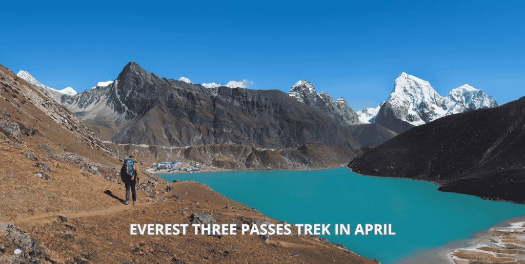
June to September brings cloud, rain lower down and slippery rock. You will often miss the views you came for. If spring suits you, our Three Passes Trek in April guide explains what to expect.
Dzongla to Dragnag vs Dragnag to Dzongla
Which direction do you choose to descend? Both directions are fine, but the day is totally different when done the one way versus the other.
Descending east to west, the way this guide follows, you follow the trail up the boulder gully and ascend up the glacier. The descent is the loose, steep moraine at the other side. Most trekking parties that come to Base Camp for the first time usually take this route, since it completes the loop.
Descending west to east, as from Dragnag to Dzongla, you have the steep and loose moraine at the beginning of the trek. This is difficult and taxing way to begin the trek. After that you descend the glacier, which many find more intimidating than ascending it.
The glacier is said to be at the Dragnag side by some sources. This is wrong. The glacier is actually at the Dzongla side of the pass.
So how do you choose? If you want Everest Base Camp first, cross east to west, like on our Three Passes and Two Passes treks. If you want Gokyo first for a slower start, our Chola Pass Trek crosses from the Gokyo side instead.

Should You Stop in Dragnag or Push On to Gokyo?
Some tough trekkers take on the trek right away from Dragnag to Gokyo. That entails tackling the Ngozumpa Glacier as well, a labyrinth of rocks, ice, and little lakes. In effect, the whole day becomes 13 km, and around 10 hours with rest stops.
This is not recommended and for good reasons. You come tired from the trek, and the glacier trek to Gokyo requires fresh legs and feet. Gokyo will be much more enjoyable if you arrive there with energy left to make a trip up Gokyo Ri the following day.
Dragnag lodges are simple but comfortable for a night. Expect basic twin rooms, shared toilets and a dining room with a stove in the middle. Our guide to teahouse accommodation in the Everest region explains what to expect.
The next morning, the walk to Gokyo takes just 3 to 4 hours. You’ll reach the lakes before lunch. For what comes after, read our Gokyo Ri trek guide.
What to Pack for Dzongla to Dragnag Crossing Day
This day needs a slightly different daypack than the rest of the trek. There is no teahouse between Dzongla and Dragnag, and you spend hours above 5,000 m.
- Microspikes, already fitted to your boots the night before
- Two trekking poles for the climb and the loose descent
- A headlamp with spare batteries for the dark start
- A down jacket and a windproof shell for the pass
- Warm gloves plus thin liner gloves for fiddly jobs
- Good sunglasses, because sun on the glacier can burn your eyes
- Sunscreen and lip balm for the high, thin air
- At least 2 litres of water, kept inside your pack so it doesn’t freeze
- A packed lunch and snacks, such as chocolate, nuts or a boiled egg
Keep your pack light, because every extra kilo feels double at 5,400 m. For everything else, see our trekking packing checklist.
Altitude Sickness Concerns During Dzongla to Dragnag Trek
Most people notice the altitude effects, and getting a mild headache is usual. The issue is whether your symptoms are improving or worsening. This is what will determine if you continue today.
Symptoms like an unremitting headache after drinking fluids and resting, dizziness, feeling unusually weak or nauseous can be noted. Difficulty breathing while at rest, feeling confused and loss of balance are critical symptoms that call for immediate descent instead of ascent.
There is something that many people do not consider that is very helpful. Before reaching the glacier, the safer route is a retreat to Dzongla. Once you are over the peak, however, the quickest option for descent will be through Dragnag.
Build one spare day into your plan if you can. It takes the pressure off, so nobody feels pushed to cross on a bad day. Learn more in our guides to altitude sickness and how to deal with it.
Is a Guide Worth It on Dzongla to Dragnag Trail Section?
Most trekking routes are easy to follow, but Cho La is not. The route across the glacier and scree keeps changing, and one mistake at the top could leave you anywhere except where you were supposed to be.
A good guide will do four things at Cho La. They maintain a pace that conserves your strength for the return descent. They choose the safest line across the ice and understand the weather, but above all, they know how and when not to cross.
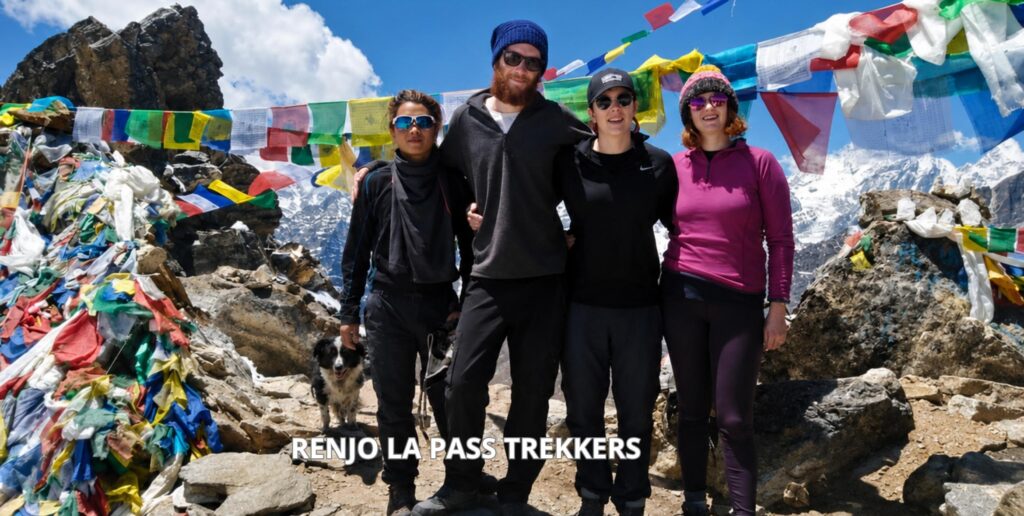
According to one of our trekkers, they successfully crossed both Cho La and Renjo La Pass because of their guide Bashu’s experience and advice from a local hotel owner. This combination of local wisdom is hard to come by. Our founder, Chandra Gurung, personally guided more than 1,800 travellers on Himalayan route choice.
Still deciding between routes? Compare the EBC trek or Three Passes side by side. When you are ready, join our Everest Three Passes Trek, or pick the shorter Everest Two Passes Trek if you want Cho La without Kongma La.
What Trekkers Ask About Dzongla to Dragnag Trek
How far is the Cho La crossing?
How long does the crossing take?
Is Cho La Pass dangerous?
Do I need crampons for Cho La Pass?
Can I go from Dzongla to Gokyo in one day?

