Lapchi Milarepa Cave Trek Facts

Country

Nepal

Difficulty

Moderate to Challenging

Trek Duration

11

Best Season

Mar-May / Sep-Nov

Accommodation

Teahouse, Home Stay or Camping

Start / End Point

Kathmandu - Kathmandu

Max. Altitude

4,900m

Group Size

2 - 15

Meals Included

Breakfast, Lunch, Dinner

Acclimatization

Lapchi Village (3 nights)

Permits

GCA Permit + TIMS

Recommended For

Spiritually curious & adventure trekkers

Duration

13 Days

Activity

Adventure Activities

Nature Of Trek

Teahouse + Camping Trek

Activity Per Day

5 - 6 Hours Walking

Transportation

Bus / Shared Jeep

Lapchi Trek Overview

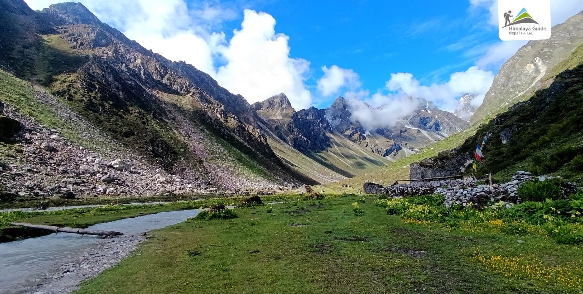
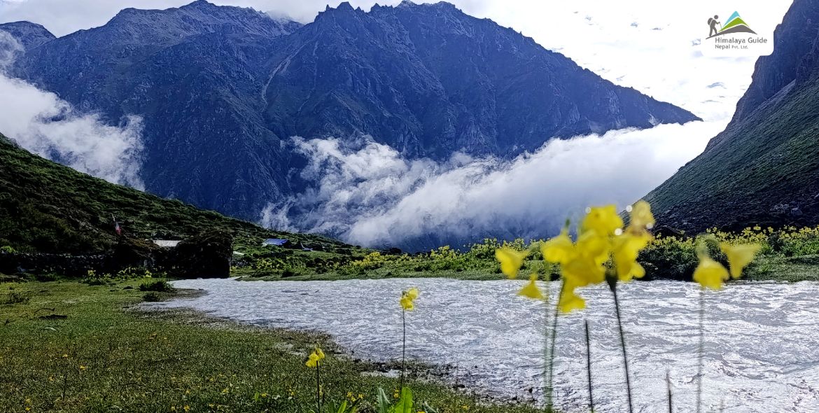
The Lapchi Trek follows the Tama Khosi River from Lamabagar and climbs into the offbeaten valley of Lapchi Kang, a small Himalayan range tucked between the road to Tibet and the great Rolwaling Himal valley. The landscape shifts from cloud forest to bamboo groves to high alpine pastures and glacial lakes. It is remote. It is quiet. And it is nothing like the trails you see on Instagram.

The trek is classified as moderate to challenging. You do not need to be a professional mountaineer. But you do need a solid base of fitness and a willingness to camp in wild terrain. Most days involve 3 to 5 hours of walking. The highest point is 4,900m at the alpine lakes above Lapchi Village.
Lapche Trek with Milarepa's Cave Highlights

  • Sacred Lapchi Monastery and 4 Gompa Circuit
  • Milarepa Cave at 4,300m with visible footprints and handprints
  • Nepal-Tibet border hike at Ramding Namgoma (4,500m)
  • High alpine lakes at 4,900m with glacier views
  • King Dong Ridge crossing and King Dong Kharka excursion
  • Snow leopard habitat and daily Blue Sheep sightings at 1pm
  • A village of just 13 families on the Nepal-Tibet border
  • No Tibet visa required

Lapchi Trek Outline Itinerary

Route End Elevation Elevation Gain/Loss Duration Distance
Day 01 Kathmandu → Lamabagar (drive) 1,950 M 9 - 10 Hours DRIVE 155 - 160 KM
Day 02 Lamabagar → Doven 2,200 M + 250 M 3 - 4 Hours WALKING 7 - 8 KM
Day 03 DOVEN TO LOWER LUMNANG 2,700 M + 500 M 4 - 5 HRS WALKING 8 - 9 KM
Day 04 LOWER LUMNANG TO LAPCHI VILLAGE 3,670 M + 970 M 5 - 6 HRS WALKING 9 - 10 KM
Day 05 4 GOMPA CIRCUIT + MILAREPA CAVE HIKE 4,300 M (HIKE) + 630 M 5 - 6 HRS WALKING 10 - 12 KM
Day 06 DAY HIKE TO RAMDING NAMGOMA (NEPAL-TIBET BORDER) 4,500 M (HIKE) + 830 M 5 - 6 HRS WALKING 10 - 12 KM
Day 07 LAPCHI VILLAGE TO HIGH ALPINE LAKES 4,900 M + 1,230 M 5 - 6 HRS WALKING 8 - 9 KM
Day 08 ALPINE LAKES TO YAK KHARKA 3,424 M - 1,476 M 4 - 5 HRS WALKING 9 - 10 KM
Day 09 YAK KHARKA TO KING DONG KHARKA 2,800 M - 148 M 3 - 4 HRS WALKING 7.5 - 8 KM
Day 10 EXCURSION: AMA BAMARE EAST FACE OR UPPER ALPINE LAKE ~3,500 M (HIKE) + 700 M 4 - 5 HRS WALKING 8 - 10 KM
Day 11 KING DONG KHARKA TO SAMLING PHEDI ~2,400 M - 400 M 3 - 4 HRS WALKING 7 - 8 KM
Day 12 SAMLING PHEDI TO LAMABAGAR 1,950 M - 450 M 4 - 5 HRS WALKING 9 - 10 KM
Day 13 UPPER TAMA KOSHI HYDROPOWER + DRIVE TO KATHMANDU 1,350 M 9 - 10 HRS DRIVE 155 - 160 KM
Download PDF download

Lapche Trek Detail Itinerary

Day 01 :

Kathmandu to Lamabagar

Drive Distance

APPROX. 155 - 160 KM

Drive Duration

9 - 10 HOURS

Highest Altitude

1,950 M

Place

LAMABAGAR

Meals

Dinner

Accommodation

TEAHOUSE

Your journey starts with a long drive out of Kathmandu, heading east through the Dolakha district. The road follows the Tama Khosi river, and as Kathmandu’s noise fades behind you, the mountains start to appear. The drive gives you a real first look at the terrain you will be walking through.

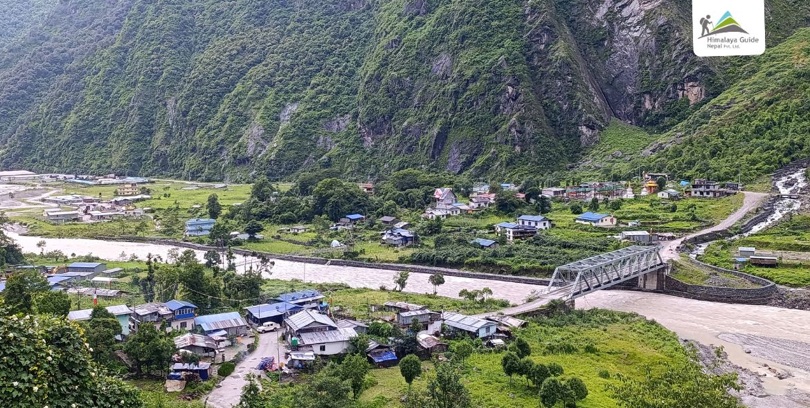
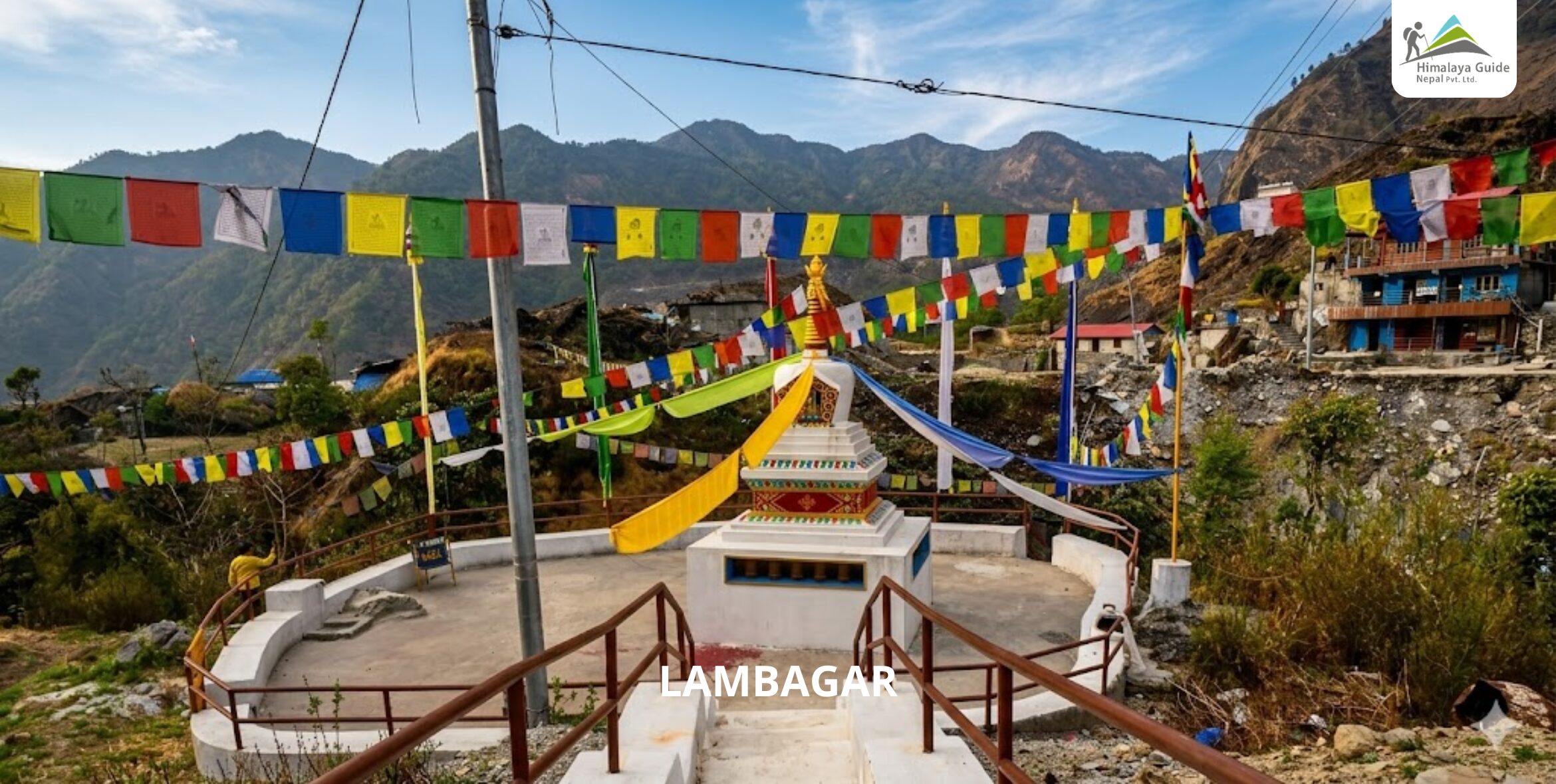
On the way, you pass through the Singate area before reaching Lamabagar. This is a small Sherpa town where Buddhism is part of daily life. The pace here is slower. The air is cleaner. And your adventure has already begun.

Day 02 :

Lamabagar to Doven

Trek Distance

7 - 8 KM

Trek Duration

3 - 4 HOURS WALKING

Highest Altitude

~2,200 M

Place

DOVEN

Meals

BLD

Accommodation

TEAHOUSE

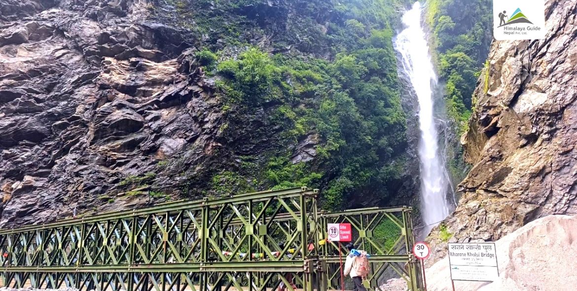
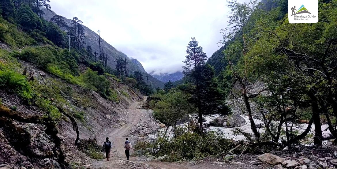
You leave Lamabagar in the morning and pick up the trail alongside the Tama Khosi river. The path moves through dense forest with bamboo growing thick on both sides. The river sounds loud and close. It is a gentle warm-up day compared to what comes later.

Doven is a small settlement where locals still live a traditional Himalayan lifestyle. The trail conditions here are well-trodden but narrow in spots. The evening is quiet and the night sky above the valley is clear and wide.

Day 03 :

Doven to Lower Lumnang

Trek Distance

8 - 9 KM

Trek Duration

4 - 5 HOURS WALKING

Highest Altitude

2,700 M

Place

LOWER LUMNANG

Meals

BLD

Accommodation

TEAHOUSE

Today the trail starts climbing. You follow the stream upward through cloud forest, where the trees get bigger and the light filters through in long shafts. This section of trail has a wildness to it that most trekkers in Nepal never see.

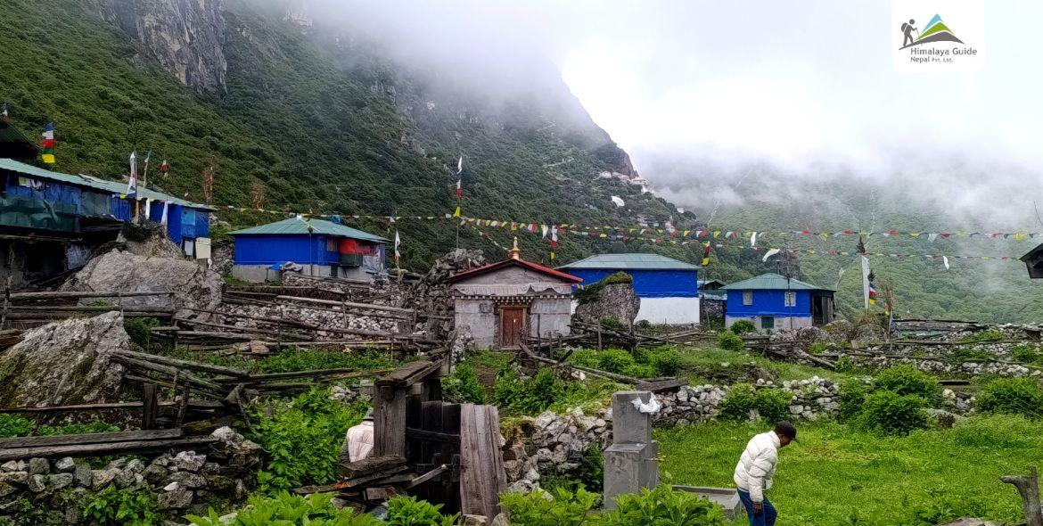
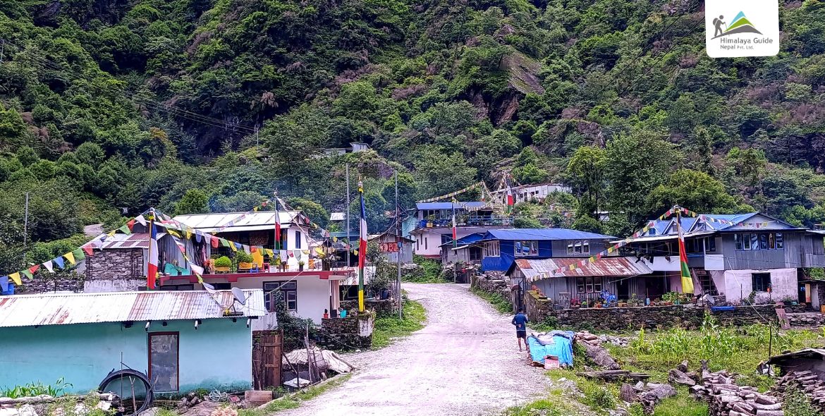
Lower Lumnang is a winter settlement for the 13 families who call the Lapchi Valley home. They come down here when the higher village becomes too cold. It is a quiet place. A few stone houses, prayer flags on the wind, and the hum of the river below.

Day 04 :

Lower Lumnang to Lapchi Village

Trek Distance

9 - 10 KM

Trek Duration

5 - 6 HOURS WALKING

Highest Altitude

3,670 M

Place

LAPCHI VILLAGE

Meals

BLD

This is the day the landscape opens up. You follow the fast-moving stream below the shadow of Gaurishankar (7,134m) and the trail leads you directly into Lapchi Village. The view of the surrounding peaks arrives in stages as you gain altitude. Your legs will feel it. But the destination is worth every step.

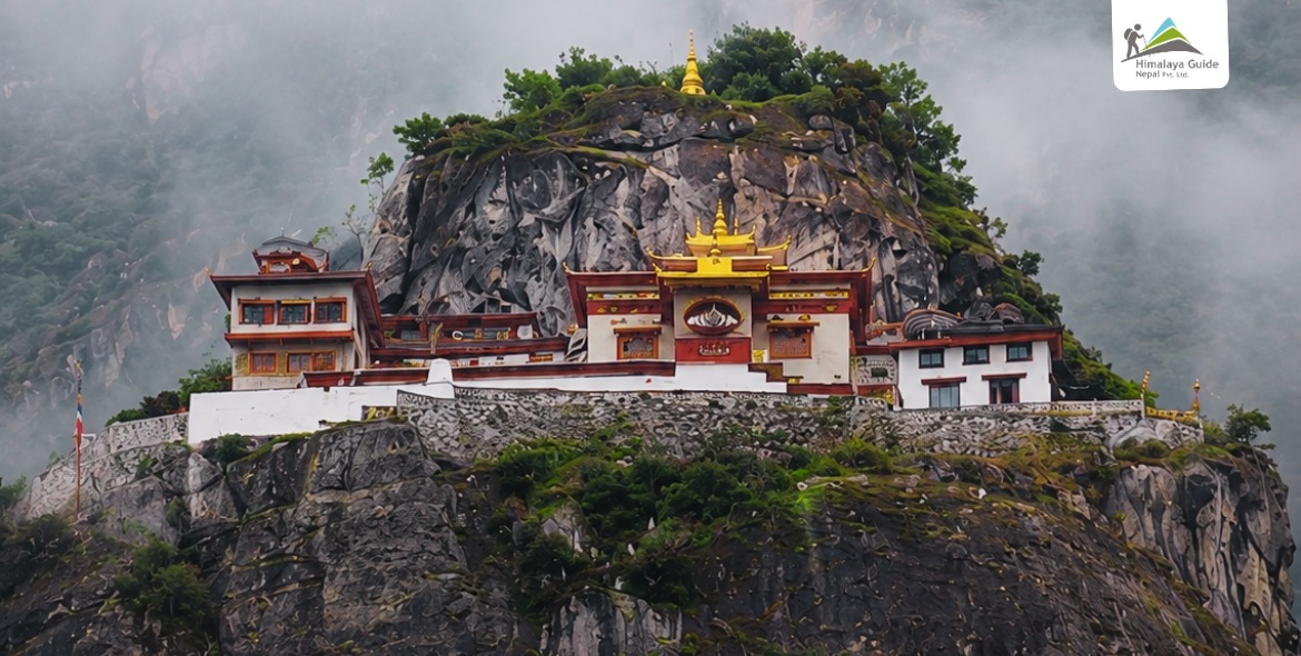
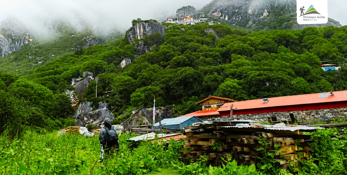
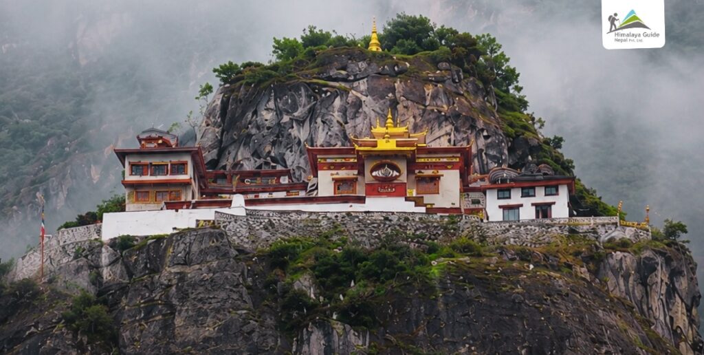
Lapchi Village sits at the foot of Lapchi Kang mountain. Most houses here have stone walls and tin roofs. Yak herding is the main way people earn a living. The air smells of juniper smoke. After you arrive, you can walk up to the Lapchi Kang Monastery, a more than 400-year-old sacred site sitting above the valley.

Day 05 :

4 Gompa Circuit and Milarepa Cave Hike

Trek Distance

10 - 12 KM

Trek Duration

5 - 6 HOURS WALKING

Highest Altitude

4,300 M (HIKE)

Place

LAPCHI VILLAGE (OVERNIGHT)

Meals

BLD

Today is the spiritual heart of the entire trek. You visit all four sacred Gompa structures in sequence, starting with Dudul Pug at the base, moving up to Choera Gompa, then into Rechen Gompa where Milarepa’s footprints are preserved on the cave ceiling. The highest is Zhe Pug, where a holy water well began flowing when Milarepa struck his staff into the rock.

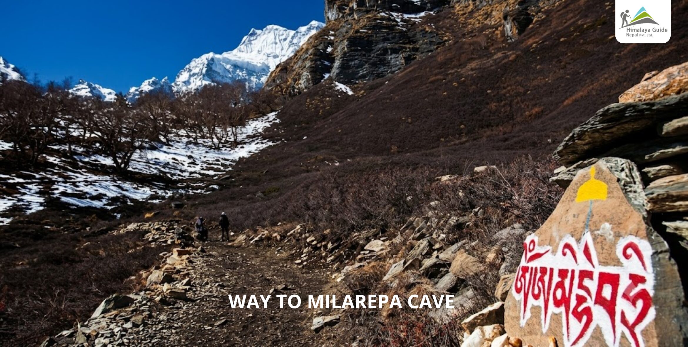
Way to MILAREPA CAVE

From there, you hike to the Milarepa Cave at 4,300m. Inside you will find a bronze statue of Milarepa, ancient frescoes, and visible sacred marks left by the great yogi himself. Keep your eyes open on the way up Himalayan Thar move through this area, and if you are lucky, you will spot Blue Sheep too. The 13 families of Lapchi Village say the Blue Sheep come to the village every day around 1pm for water and salt from the rocks.

Day 06 :

Day Hike to Ramding Namgoma (Nepal-Tibet Border)

Trek Distance

10 - 12 KM

Trek Duration

5 - 6 HOURS WALKING

Highest Altitude

4,500 M (HIKE)

Place

LAPCHI VILLAGE (OVERNIGHT)

Meals

BLD

Accommodation

LAPCHI VILLAGE TEAHOUSE

On this day you hike to Ramding Namgoma, the border point between Nepal and China, sitting at 4,500m. You are standing on the line between two countries without needing a single visa beyond what you already carry. The terrain here is raw and open. The views back down into the Lapchi Valley are unlike anything on the lower trail.

This is also Dudul Cave day if your guide advises combining it. Dudul Cave is 10 minutes from the village, and it is said that retreatants who sit in meditation here alone sometimes hear the sound of group chanting and ritual instruments from somewhere unseen. Return to Lapchi Village in the afternoon.

Day 07 :

Lapchi Village to High Alpine Lakes

Trek Distance

8 - 9 KM

Trek Duration

5 - 6 HOURS WALKING

Highest Altitude

4,900 M

Place

HIGH ALPINE LAKES

Meals

BLD

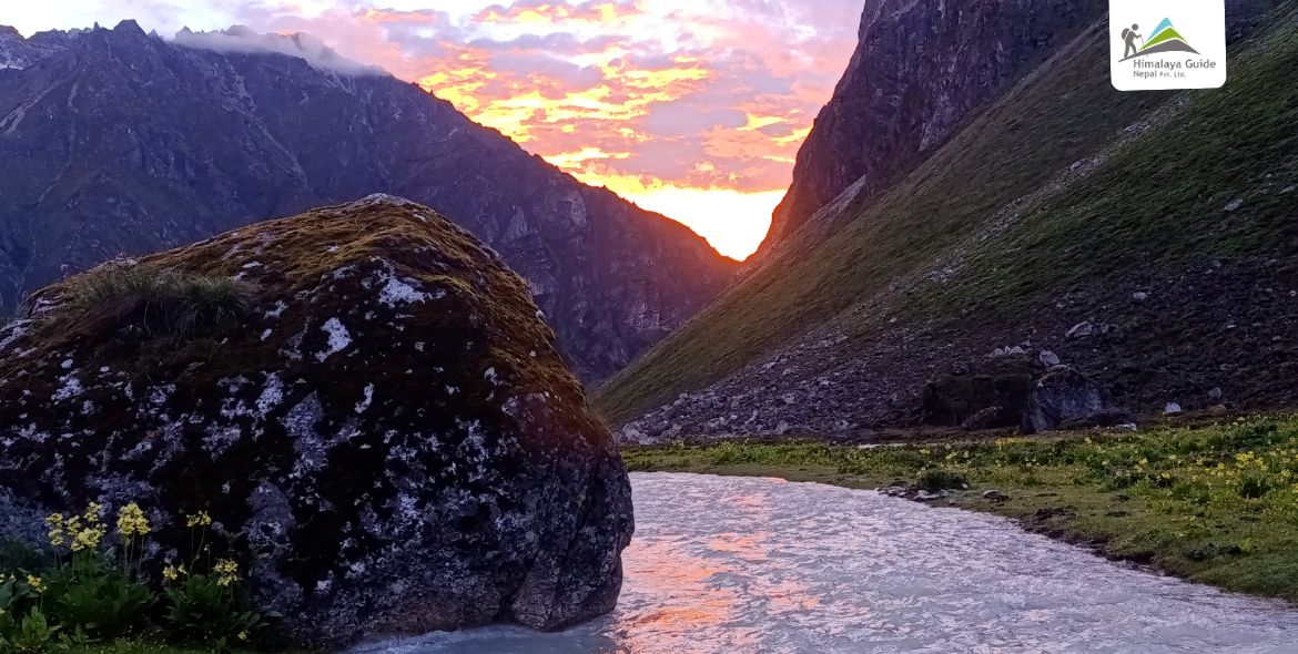
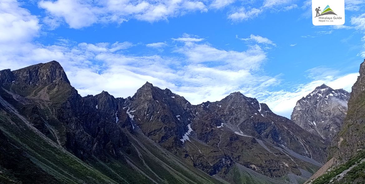
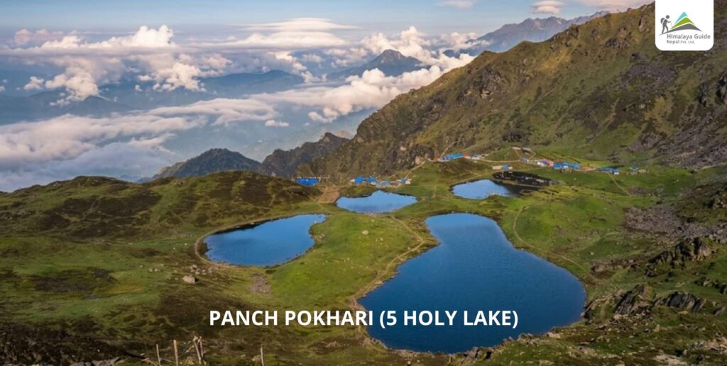
You leave Lapchi Village today and climb steeply up a grassy slope into high alpine terrain. A series of small glacial lakes appear as you gain altitude. The water is cold and still. The mountains around you are close and massive. This is one of the high points of the entire circuit, and you camp here overnight surrounded by snow and sky.

The path gets steep on this section. Take it slow. Drink water. Let your body adjust to the altitude. Your guide will pace the group well. Once camp is set up, the evening silence at nearly 5,000m is something you will remember for a long time.

Day 08 :

Alpine Lakes to Yak Kharka

Trek Distance

9 - 10 KM

Trek Duration

4 - 5 HOURS WALKING

Highest Altitude

3,424 M

Place

YAK KHARKA

Meals

BLD

Accommodation

CAMPING

Today you descend from the high lakes down toward the Yak Kharka pastures. The trail drops through open terrain with long views across the valley. Yak herders use this land in the warmer months, and you may see yak grazing on the slopes as you arrive.

The descent is long but manageable. Poles help on the steeper sections. Yak Kharka is a flat, open spot where the tent feels very small under a very big sky. After the high altitude of the previous two days, the lower elevation tonight will help your body recover.

Day 09 :

Yak Kharka to King Dong Kharka via King Dong Ridge

Trek Distance

7.5 - 8 KM

Trek Duration

3 - 4 HOURS WALKING

Highest Altitude

2,800 M

Place

KING DONG KHARKA

Meals

BLD

Accommodation

CAMPING

This is a ridge-crossing day. You climb up to King Dong Ridge, passing through thick forest beneath the rock spires of King Dog Mountain. The ridge itself gives you one of the widest views of the trek. Then the trail drops down to King Dong Kharka, crossing the Chandu Khola river. You walk with the river sound far below and the forest closing in around you.

King Dong Kharka is a wild and peaceful campsite. There is not much infrastructure here. That is exactly the point. This part of the trail is barely visited by any trekkers. You have it completely to yourself.

Day 10 :

Excursion Day at King Dong Kharka

Trek Distance

8-10 km

Trek Duration

4 - 5 HOURS WALKING

Highest Altitude

~3,500 M (HIKE)

Place

KING DONG KHARKA (OVERNIGHT)

Meals

BLD

Accommodation

CAMPING

Today you have two options. You can hike to the east face of Ama Bamare Peak, one of the unclimbed rock spires in this region that gives the snow leopard its best habitat in all of Nepal. Or you hike up to a high alpine lake above the kharka. Either way, you come back to camp the same evening.

This is a flex day. Some trekkers use it for rest. Others push hard on the excursion. Your guide knows both routes well. The area around King Dong Kharka is genuinely wild. Snow leopard sightings have been reported here. Do not expect a guarantee, but do expect something you did not expect.

Day 11 :

King Dong Kharka to Samling Phedi

Trek Distance

7 - 8 KM

Trek Duration

3 - 4 HOURS WALKING

Highest Altitude

~2,400 M

Place

SAMLING PHEDI

Meals

BLD

Accommodation

CAMPING

You descend today toward Samling Phedi. The trail moves back through forest and down a series of switchbacks. The landscape has a different character now with more lush, more humid, the sound of birds returning as you lose altitude.

Samling Phedi is a stopping point rather than a full village. It is basic. The camp is simple. But after the high alpine days, there is something good about descending back toward the valley floor and feeling the air warm up again around you.

Day 12 :

Samling Phedi to Lamabagar

Trek Distance

9 - 10 KM

Trek Duration

4 - 5 HOURS WALKING

Highest Altitude

1,950 M

Place

LAMABAGAR

Meals

BLD

Accommodation

TEAHOUSE

The final trekking day brings you back to Lamabagar along the river trail. The Tama Khosi has been your companion on and off since day two. Today you follow it back down through the lower forest and out into the wider valley. The trail is familiar but the direction is different and it feels like a full circle.

When you arrive in Lamabagar, the lodge feels comfortable after days in a tent. A proper bed, a hot meal, and a cold drink. You have earned all of it.

Day 13 :

Upper Tama Koshi Hydropower Sightseeing + Drive to Kathmandu

Drive Distance

APPROX. 155 - 160 KM

Drive Duration

9 - 10 HOURS

Highest Altitude

1,950 M (DEPARTURE)

Place

KATHMANDU

Meals

Breakfast & Lunch

Accommodation

N/A

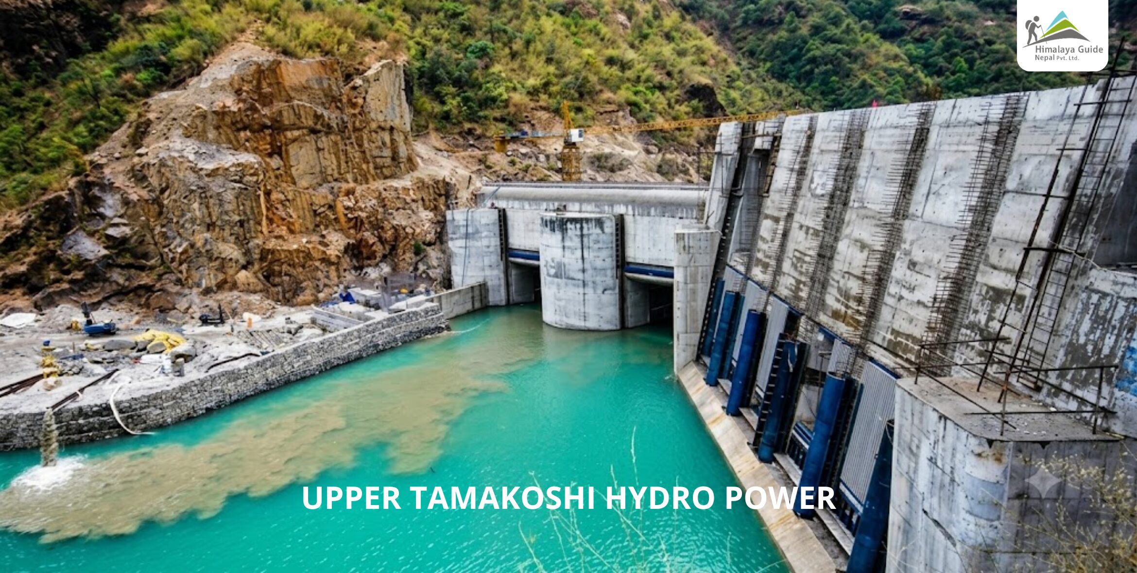
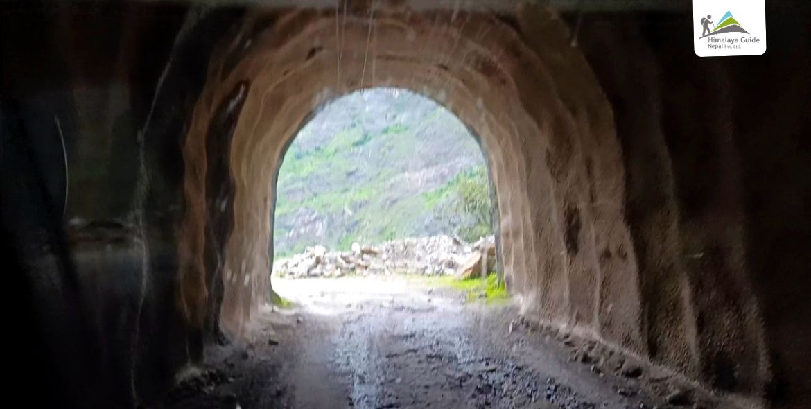
Before you get back in the jeep for Kathmandu, today includes a visit to the Upper Tama Koshi Hydropower Project which is one of the largest hydropower plants in Nepal at 456 MW capacity. Your guide arranges the permit in advance. You get to go inside a 1.3km tunnel and walk through the operational heart of the plant.

Upper TamaKoshi Hydro Power

A technician explains how the facility works with the Tama Koshi river’s force is captured and converted into electricity for Nepal’s national grid. It is a completely unexpected experience at the end of a Himalayan trek, and it is one that 99% of visitors to this region never experience. We have introduced this in this route itinerary for the first time. After the visit, you drive back to Kathmandu, arriving in the evening.

Inclusion/Exclusion in Lapchi Trek, Dolakha

Our Lapchi Trek Package Includes

  • Your ride both ways between Kathmandu and Lamabagar, by public bus or shared jeep
  • All meals on the trail, including Breakfasts, Lunches, and Dinners
  • Teahouse, homestay, or camping accommodation if needed.
  • A government-registered, English-speaking guide who knows this trail well
  • Porters to carry your camping gear so you can focus on the walk
  • All guide and porter wages, food, and insurance for the full trip
  • Every government fee, paperwork, and permit processing sorted for you
  • Your Gaurishankar Conservation Area (GCA) entry permit
  • A sleeping bag for the trek (returned at the end)
  • Permit and guided visit inside the Upper Tama Koshi Hydropower tunnel on Day 13

Our Lapchi Trek Package Exclude

  • Accommodation, meals, and transfers in Kathmandu
  • International flights, Nepal visa fee, emergency evacuation, and rescue insurance
  • Guided sightseeing and monument entrance fees in Kathmandu
  • Bar drinks and beverages such as Coke, Fanta, or Sprite
  • Personal trekking gear, clothing, camera, and binoculars
  • Extra costs arising from causes outside our control
  • Tips for your guide and porter.
Private Trip Booking

Prefer a more personal journey? Our private packages offer flexible dates, custom itineraries, and dedicated support—perfect for those seeking a tailored travel experience.

Lapchi Trek, Dolakha Trip Information

Why Should You Do the Lapchi Trek?

Most trekkers who come to Nepal have the same conversation with themselves. “Should I do Everest Base Camp or Annapurna?” Both are great. But here is the honest truth: those trails are crowded. Some days you walk shoulder to shoulder with hundreds of other trekkers.

The Lapchi Trek is the opposite of that.

The Lapchi Valley sees very few foreign visitors every year. The trail is protected inside the Gaurishankar Conservation Area. It requires a GCA special permit, which means access is controlled. You will not run into big group tours or teahouses with WiFi and pizza on the menu. What you get instead is total quiet, wild terrain, and an experience that still belongs to the people who live there.

But the practical reasons are just as strong. You do not need a Tibet visa to visit this sacred land. The entire Lapchi Kang region, considered the second holiest Buddhist mountain after Kailash, is fully accessible from the Nepal side. Most people think you need to enter Tibet for this pilgrimage. You do not.

Here is what else makes this trek different:

  • You visit four sacred Gompas in a single day, each with its own specific relic tied to Milarepa’s life
  • You stand at the Nepal-China border at 4,900m without restricted area permits beyond the standard GCA
  • You meet the 13 families who are official border citizens and can trade in China without a passport
  • You camp at high alpine lakes where the Himalayan Thar and Blue Sheep come down for water daily
  • You walk through snow leopard habitat in the twisted rock and cliff landscape between Ama Bamare and Lapchi Kharka
  • You go inside a 1.3km hydropower tunnel on the final day as a bonus experience nobody else offers

Difference Between Lapchi Trek vs Tsho Rolpa or Rolwaling Valley Trek

People often ask how the Lapchi Trek compares to the Tsho Rolpa Trek or the full Rolwaling Valley route. They are all in the same region. But they are very different experiences.

Feature Lapche Trek Tsho Rolpa Trek Rolwaling Valley Trek
Main focus Spiritual pilgrimage + wilderness Glacial lake Alpine mountaineering approach
Duration 13 days 12-14 days 14-20 days
Highest point 4,900m 4,580m (Tsho Rolpa Lake) 5,750m (Tashi Lapcha Pass)
Spiritual significance Extremely high (one of 3 holy mountains) Low to moderate Low
Crowd level Very low Low to moderate Very low
Technical difficulty Moderate to challenging Moderate Challenging to technical
Permit required GCA permit + TIMS GCA permit + TIMS GCA permit + TIMS
Tibet visa needed No No No
Camping required Yes (partial) Yes (partial) Yes (full)
Best for Pilgrims, spiritual trekkers, adventure seekers Lake scenery lovers Experienced mountaineers

The Tsho Rolpa Trek is more popular because Tsho Rolpa Lake is well-known. But the lake is the only real highlight. The Lapche Trek gives you a full circuit with spiritual depth, wildlife, a border crossing hike, and a hydropower tour on top.

The Rolwaling Valley Trek goes higher and is more physically demanding. It suits experienced trekkers aiming for the Tashi Lapcha Pass crossing into Khumbu. That is a different kind of trip entirely.

If you want wilderness, spiritual history, and a trek that almost nobody else has done, Lapche wins.

Upper Tama Koshi Hydropower Sightseeing

Most trekkers drive past the Upper Tama Koshi Hydropower Project without stopping. That is a mistake.

This is one of Nepal’s most important infrastructure projects, generating 456 MW of electricity from the Tama Koshi river. It was built to reduce Nepal’s dependence on imported power. And it sits right at the end of your trek route.

On Day 13, before you drive back to Kathmandu, your guide arranges the entry permit for the facility. You go inside a 1.3km access tunnel built into the mountain. A plant technician meets your group inside and explains how the facility captures river force and converts it into electricity for Nepal’s national grid.

It sounds like a detour. But between you and me, this is one of the most memorable hours of the whole trip. You have spent 12 days in ancient Himalayan landscape, in cave monasteries, at glacial lakes. And then you step into a modern underground power plant carved into the same mountains.

The contrast is striking. Old Nepal and new Nepal, side by side in the same valley.

This visit is included in your trip as a complimentary experience. Your guide handles the permit. You just show up and explore.

Frequently Asked Questions about Lapchi Trek

Ready to Start
Your Adventure?

Join thousands of happy travelers who
Choose Himalaya Guide Nepal Pvt.Ltd.

Plan Your Trip