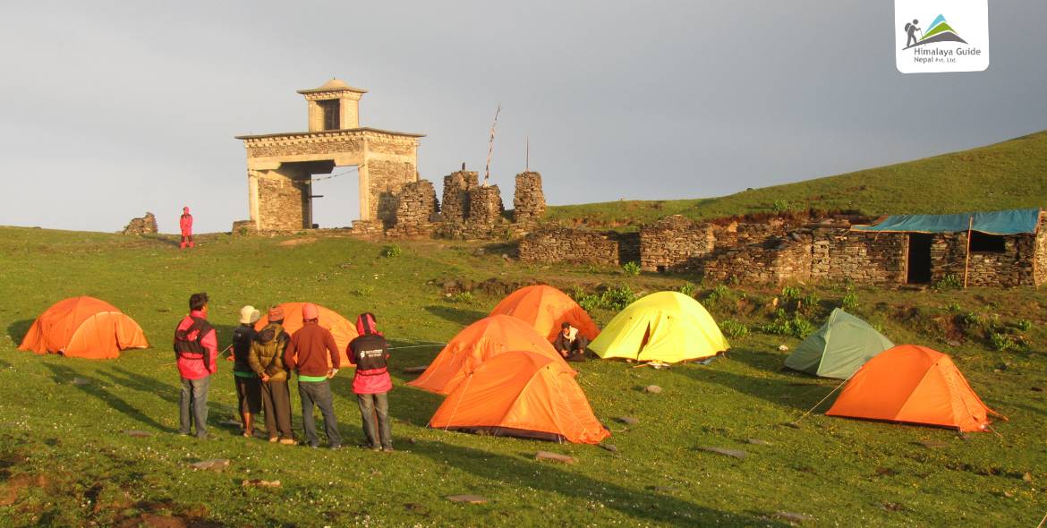
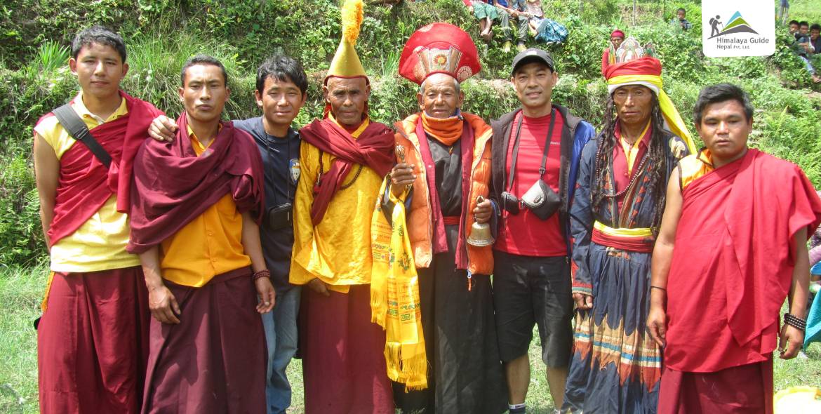
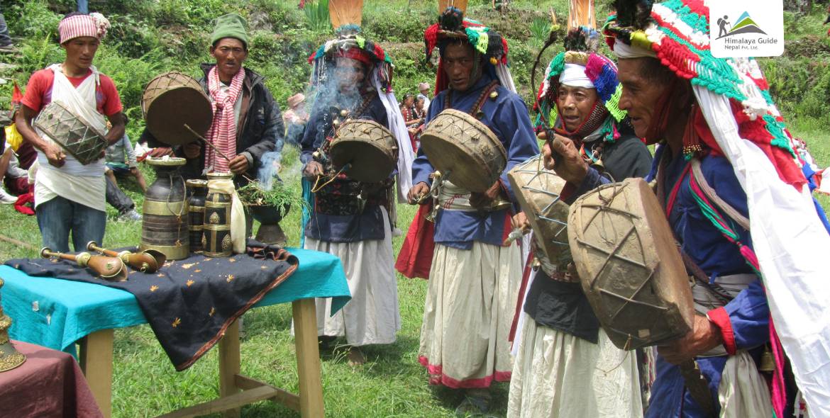
The Ruby Valley Camping Trek is one of the most unique adventures in the heart of the Ganesh Himal region. It offers a completely different trekking experience from the commercialized trekking destinations in Nepal. The trek takes you through pristine landscapes of the Langtang National Park and remote valleys where Tibetan-Nepali culture thrives. Moreover, camping in the raw wilderness and falling asleep under the Himalayan sky is truly a one-of-a-kind trekking experience.
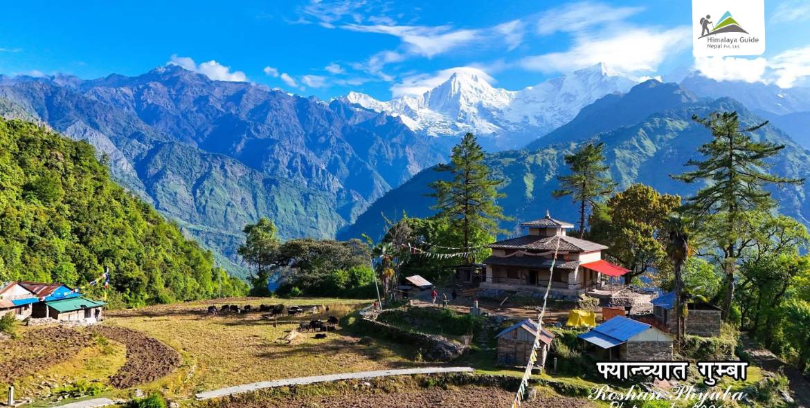
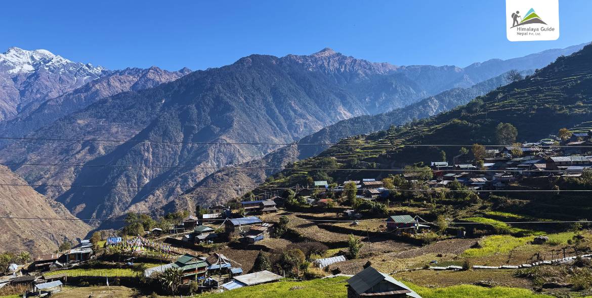
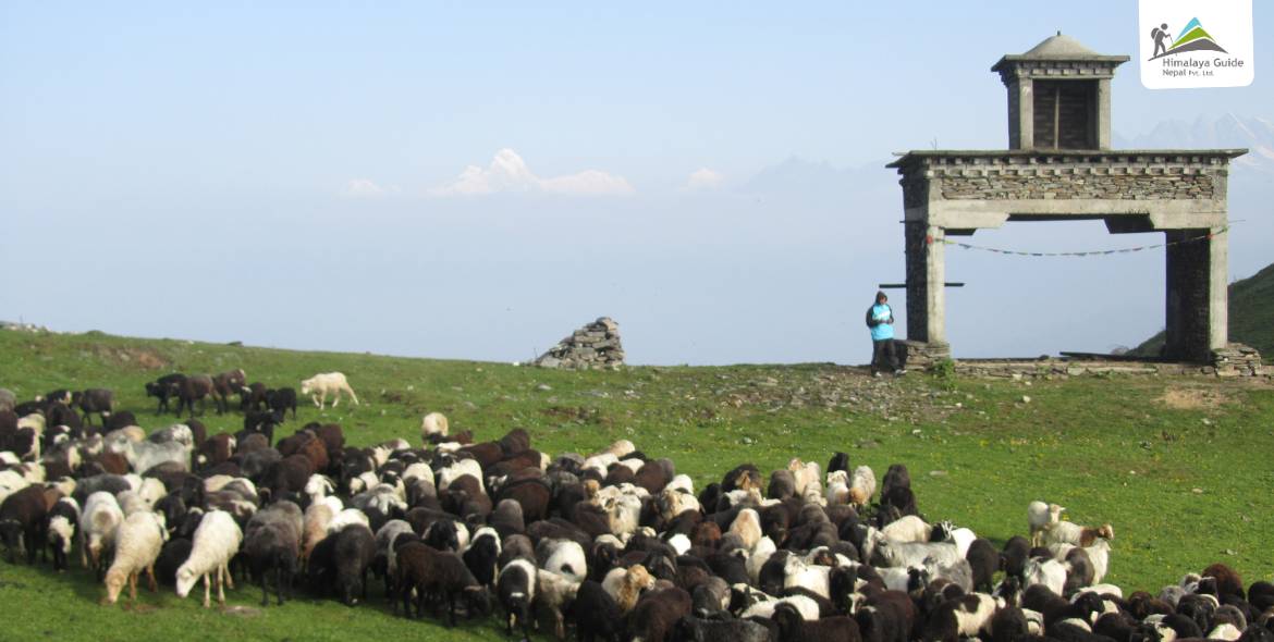
The trek starts from Syabru Bensi and follows a winding trail through lush green forests, alpine meadows, rivers, deep gorges, and waterfalls. In spring, the lower Ruby Valley Camping Trek trail comes alive with blooming rhododendron forests. Similarly, you will traverse glacial landscapes while observing the diverse flora and fauna of the region. You will also cross the mountain passes of Pangsang La Pass (3,842 M) and Mangne Pass (2,936 M). It takes you to the Ruby Valley, named after the abundant rubies and other precious stones found in the region. The name also has a symbolic connection to Ganesh Himal, the elephant-headed God of Good Fortune.
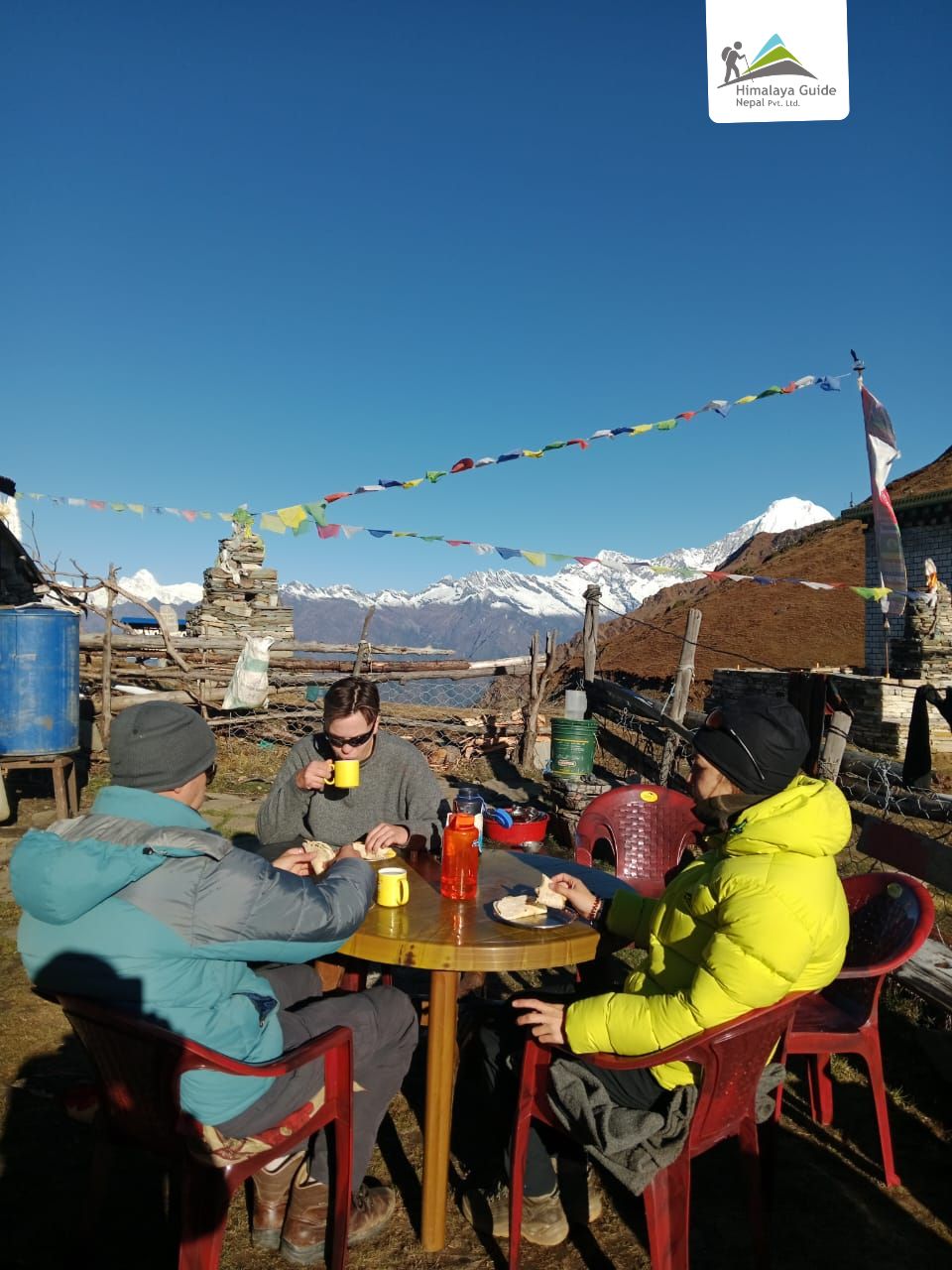
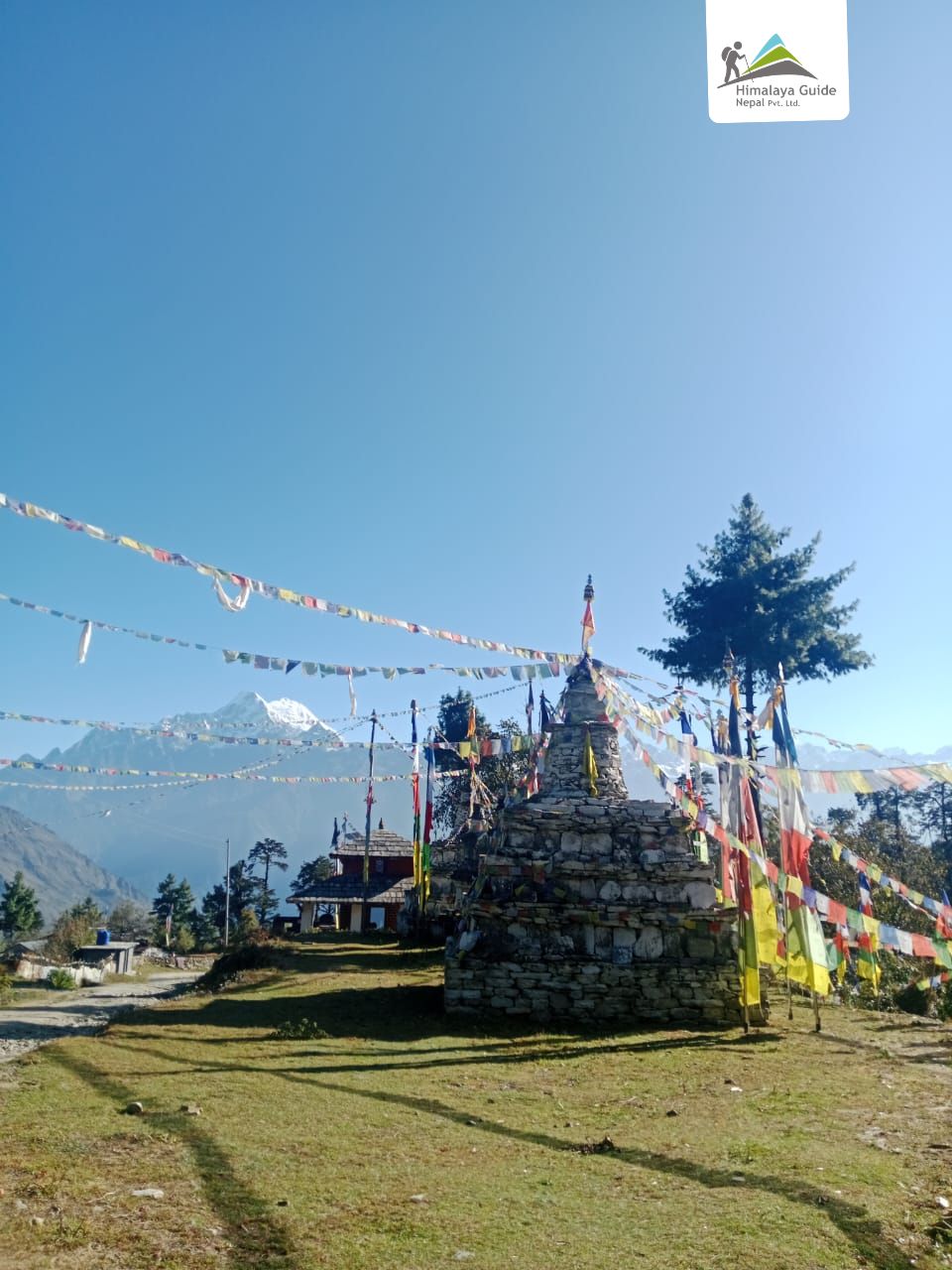
Throughout the trek, you will come across several viewpoints from which you can observe spectacular snow-capped mountain views, glaciers, and unique Himalayan landscapes. The viewpoints of this region speak to your eye to the north of the famous Himalayan range. It is known as Mount Ganesh Himal and its family peaks. The mountain is clearly visible from Kathmandu Valley. But the Ganesh I (7,429 M), Ganesh II (7,118 M), Ganesh III (7,043 M), and Ganesh IV (7,038 M) stand out like a crystal, forming the skyline of the Great Himalayan Chain. This great Himalayan massif lies between the popular trekking regions of Manaslu on the west and Langtang on the east. You can also see Mount Manaslu (8,163 M), the eighth-highest mountain in the world.
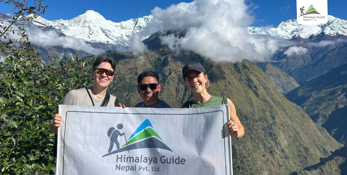
The Ruby Valley Camping Trek route takes you away from the crowds of the teahouse trail. You will traverse massive rock formations, glaciers, and crystal-clear streams that feel like you are traveling in a different world. Those who want a raw Himalayan adventure that goes beyond conventional trekking, the Ruby Valley Camping Trek is a perfect destination. The trek combines both high-altitude exploration and cultural immersion, untouched by mass tourism. Whether you are a seasoned trekker or a first-timer, the trek is an unforgettable and extraordinary experience!