Manaslu Trekking
Manaslu Trekking is one of the finest, more remote, and most spectacular treks in Nepal. Manaslu Trekking can start two ways from Kathmandu through Dhading and Gorkha to the first destination Arughat Bazaar.
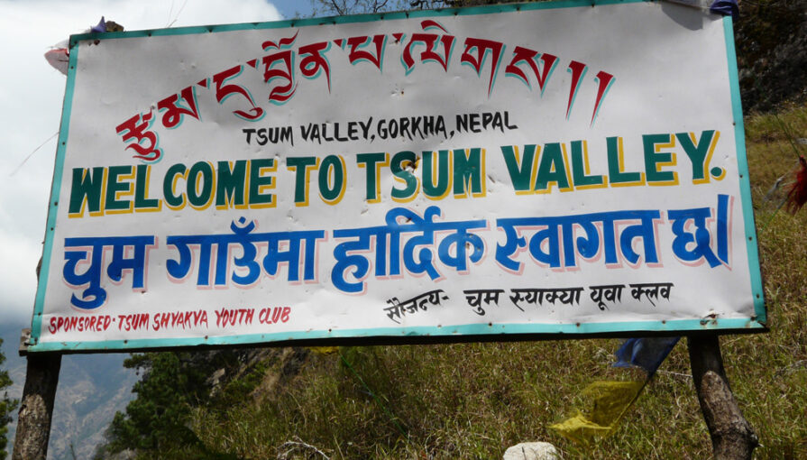
Manaslu Tsum Valley Trek is bordering with the Tibetan plateau of the People’s Republic of China to the northeast, Annapurna Conservation Area Project (ACAP) to the east, and the mid part of Gorkha. Manaslu trekking’s major ethnicity in the area is Bhotia (known as Lama), Gurung, and Karki and most of the local people follow Buddhism.
Gurung, Nhubria, Tsumba, and Kutanggba are major languages spoken by these people. This habitat of this area is rich with flora and fauna providing 39 species of mammals, 19 types of forest vegetation, 201 species of birds, and 756 species of plants recorded in this area data from the Manaslu Conservation Area Project.
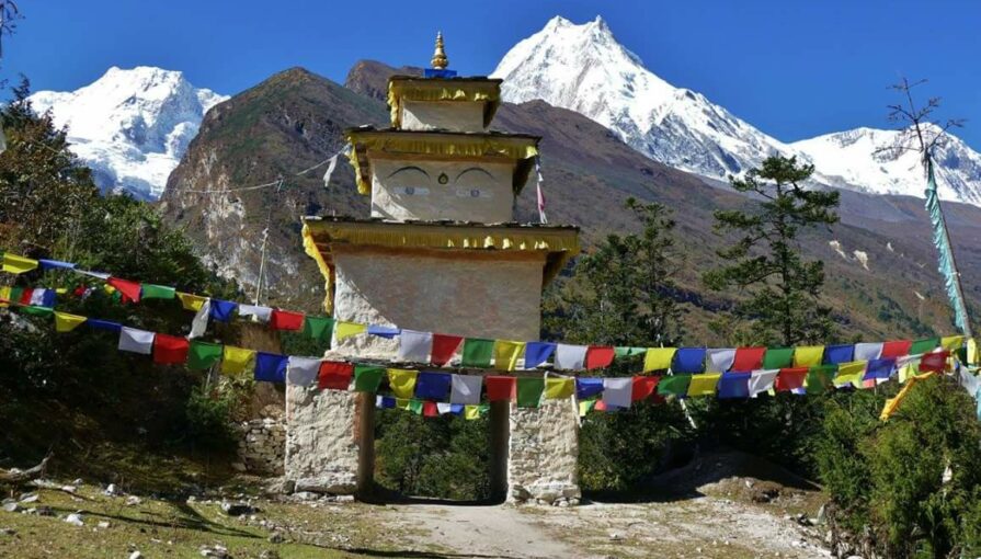
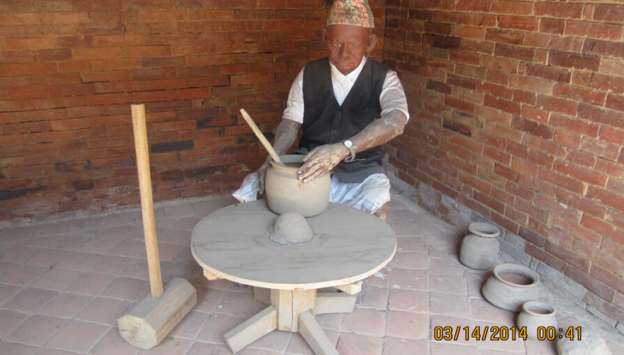
People of the Manaslu Circuit and the Tsum Valley Trek areas still have a strong sense of attachment to their traditional local culture and rich natural heritage. Ancient Gumba, Mani walls, and Chhortens abundantly represent the rich culture and natural region.
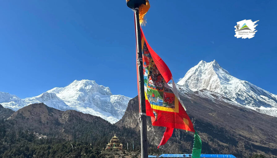
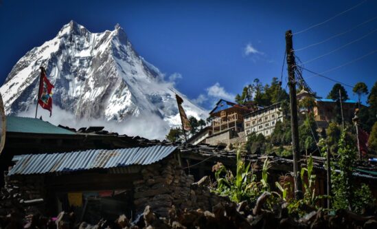
Mt.Manaslu 8163mtrs, the eighth highest peak in the world is another major attraction of the region. Similarly, unique landscapes, many peaks, waterfalls, forests, and lakes via Dudhkunda, Kal Tal, and Birendra Tal are other attractions of the Manaslu region.
Tsum Valley Trek offers traditional and remote trekking. It has been declared a non-violent conservation area and the killing of animals is strictly prohibited. In Nepal, this is an absolute highlight, with strong, friendly, hospitable people, living Buddhist culture, and untouched wildlife because of the Buddhist prohibition on hunting.
Tsum comes from the Tibetan word “Tsombo” which means vivid and we can agree that their unique culture has remained intact in this spectacular place.
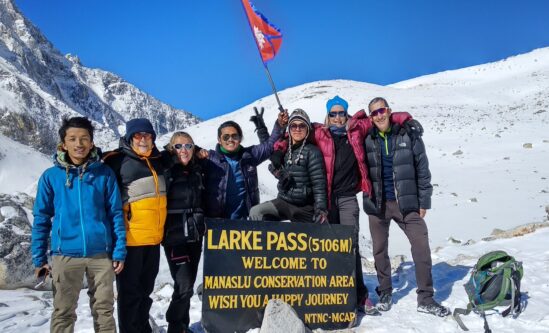
After crossing the Larky Pass 5160mtrs and entering Annapurna Region beyond Bimtang, the Manaslu Circuit Trek descents along the banks of the Dudh Khola, the milky river that spills into the Marsyangdi joining the Annapurna Circuit trail at Dharapani.
It continues upstream to Manang, then crosses the Thorong La 5426mtrs to descend as far as Jomsom in the Kali Gandaki, from where it's possible to catch a flight out to Pokhara. Another direction is to walk or drive down the valley through Bhulbule and Besisahar and drive back to Kathmandu.

