Everest Loop Trek Facts

Country

Nepal

Difficulty

Moderate to Strenuous

Best Season

Sep-Nov/March-May

Accommodation

Lodge/Teahouse

Region

Everest Treks

Start / End Point

Kathmandu-Kathmandu

Max. Altitude

5,000 m (Farak Ri)

Group Size

2 - 42

Meals Included

Breakfast, Lunch, Dinner

Acclimatization

Namche Bazaar, Thame, and Kongde

Permits

Sagarmatha National Park Conservation Area Permit and Khumbu Pasang Lhamu Rural Municipality Entry Permit

Recommended For

Beginners, experienced, and physically fit trekkers

Duration

10 Days

Activity

Adventure Activities In Nepal

Nature Of Trek

Teahouse trekking

Activity Per Day

5-7 hr trekking per day

Transportation

Domestic Flight

Region Guide Everest Region Guide & Checklist

You'll find everything you need to know before trekking in the everest region. Permits, Gear list, Packing Tips, all.

Download Free Guide

Everest Loop Trek Overview

When you hear about the Everest region, you may think of Everest Base Camp and the villages that lie on its route. But the region has some less-traveled yet stunning areas that remain less traveled by many trekkers. So, the Everest Loop Trek takes you through the underrated section of Khumbu Valley and provides an alternative to the classic Everest Base Camp route. The trek combines famous Khumbu villages with peaceful trails through Thame and Kongde. Also, it loops through the Namche Bazaar–Thame–Kongde area while providing a different perspective of the Everest region.

The journey to the Everest Loop Trek begins with a flight to Lukla, followed by a trek to Monjo, Namche Bazaar, Thame, and Kongde. The journey takes about 10 days to complete, with 3 different acclimatization and exploration days at different locations. This Loop Trek is especially for those trekkers who want to experience Everest-region mountain views, Sherpa villages, and high-altitude hiking through different and shorter routes.

The major highlight and unique point that makes the Everest Loop Trek different from other treks in the Khumbu region is the difference between two landscapes. On the initial section of the trek, you see and pass through forests, rivers, suspension bridges, and green hills. But as you make your way towards Thame and Kongde, you’ll experience the alpine landscape.

Another advantage of this itinerary is its acclimatization-focused design. This journey doesn’t aim for continuous walking; instead, it includes rest and exploration days in both Namche and Thame, followed by an exploration day at Kongde. That said, the trek is moderate to strenuous because of the high altitude and the more demanding section between Thame and Kongde. Still, with the right preparation and trekking experience, you can enjoy this peaceful alternative to the Everest Base Camp Trek.
Highlights of 10 Days Everest Loop Trek

  • Explore a quieter side of the Everest region via Namche, Thame, and Kongde instead of the classic Everest Base Camp trail.
  • Start your journey with an aerial flight to Lukla.
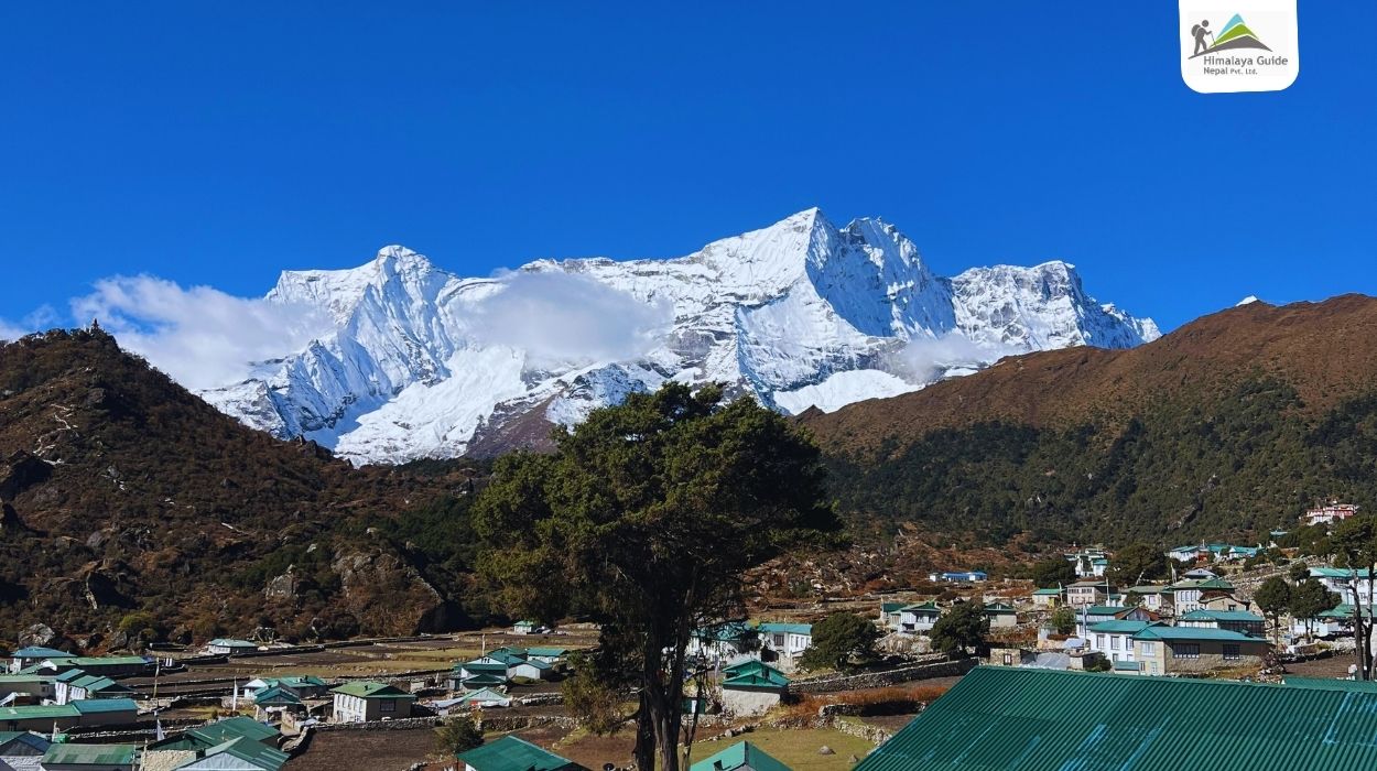
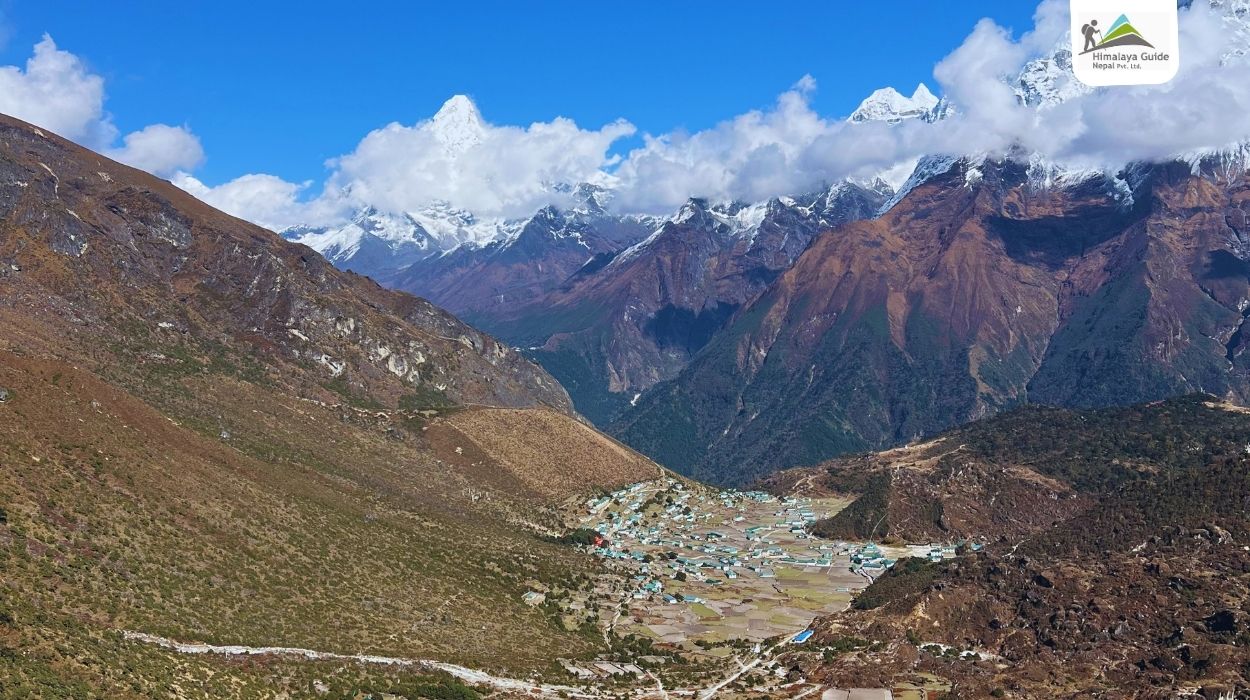
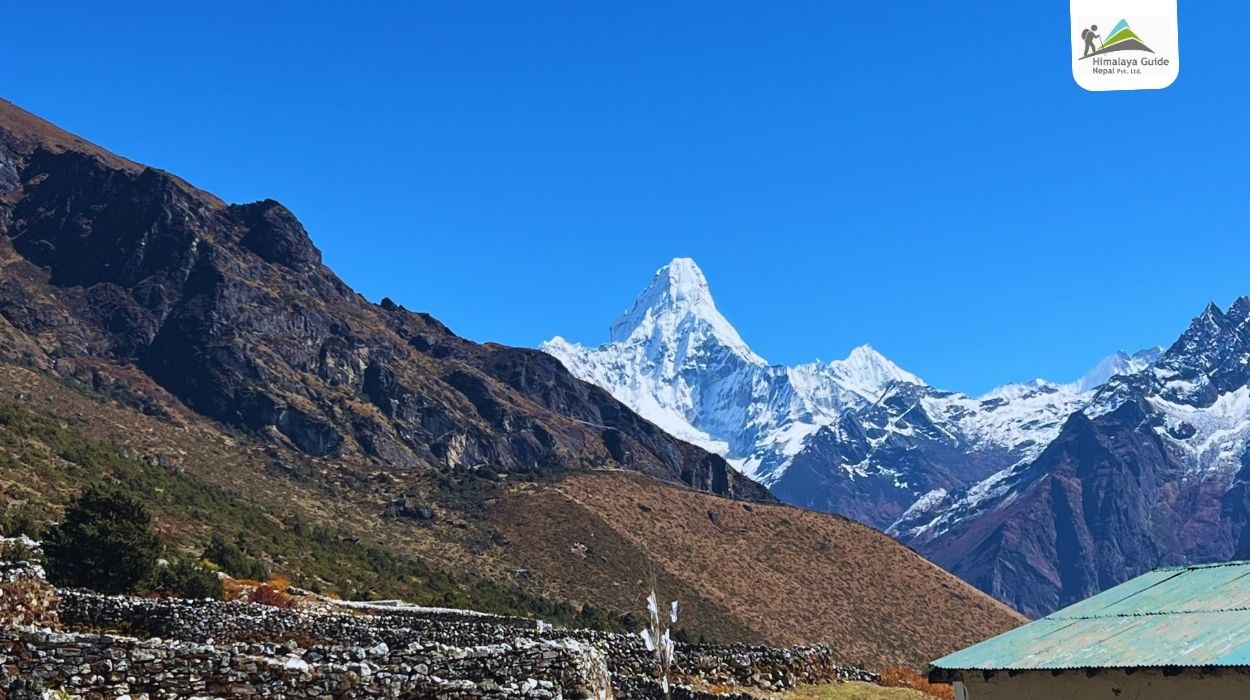
  • Enjoy views of Mount Everest, Ama Dablam, Lhotse, Thamserku, and Kongde from Everest View Hotel and Khumjung Village.
  • Explore Thame, a traditional Sherpa village known for its Buddhist heritage and mountain environment.
  • Visit the Thame Monastery area and experience the spiritual side of the Khumbu.
  • Take an acclimatization hike to Sumdur Ridge at 4,830 m.
  • Hike toward the Kongde Ri Base Area and Farakpa Peak viewpoints.
  • Walk through forests, river valleys, traditional villages, alpine terrain, and high mountain ridges within a single loop itinerary.

Quick Itinerary for Everest Loop Trek

Route End Elevation Duration Distance
Day 01 Kathmandu → Lukla → Monjo 2,835 m 5–6 hrs trekking 13 km
Day 02 Monjo → Namche Bazaar 3,440 m 3–4 hrs 6 km
Day 03 Namche Bazaar → Everest View Hotel → Khumjung → Namche 3,440 m 4–5 hrs Not specified
Day 04 Namche Bazaar → Thame 3,820 m 4–5 hrs 9 km
Day 05 Acclimatization Day in Thame 3,820 m 2–6 hrs 2–8 km
Day 06 Thame → Kongde 4,250 m 6–7 hrs 10 km
Day 07 Exploration Day at Kongde → Farak Ri 4,250 m 4–5 hrs 5–7 km
Day 08 Kongde → Phakding 2,610 m 5–6 hrs 10–12 km
Day 09 Phakding → Lukla 2,860 m 3–4 hrs 8 km
Day 10 Lukla → Kathmandu - 35–40 min flight -
Download PDF download

Full Itinerary For 10 Days Everest Loop Trek

Day 01 :

Flight from Kathmandu to Lukla (2,860 m) & Trek to Monjo (2,835 m)

Trek Distance

About 13 km

Trek Duration

5 to 6 hours

Flight Hours

35-40 minutes

Highest Altitude

2,860 m (Lukla)

Place

Monjo

Meals

B+L+D

Accommodation

Teahouse

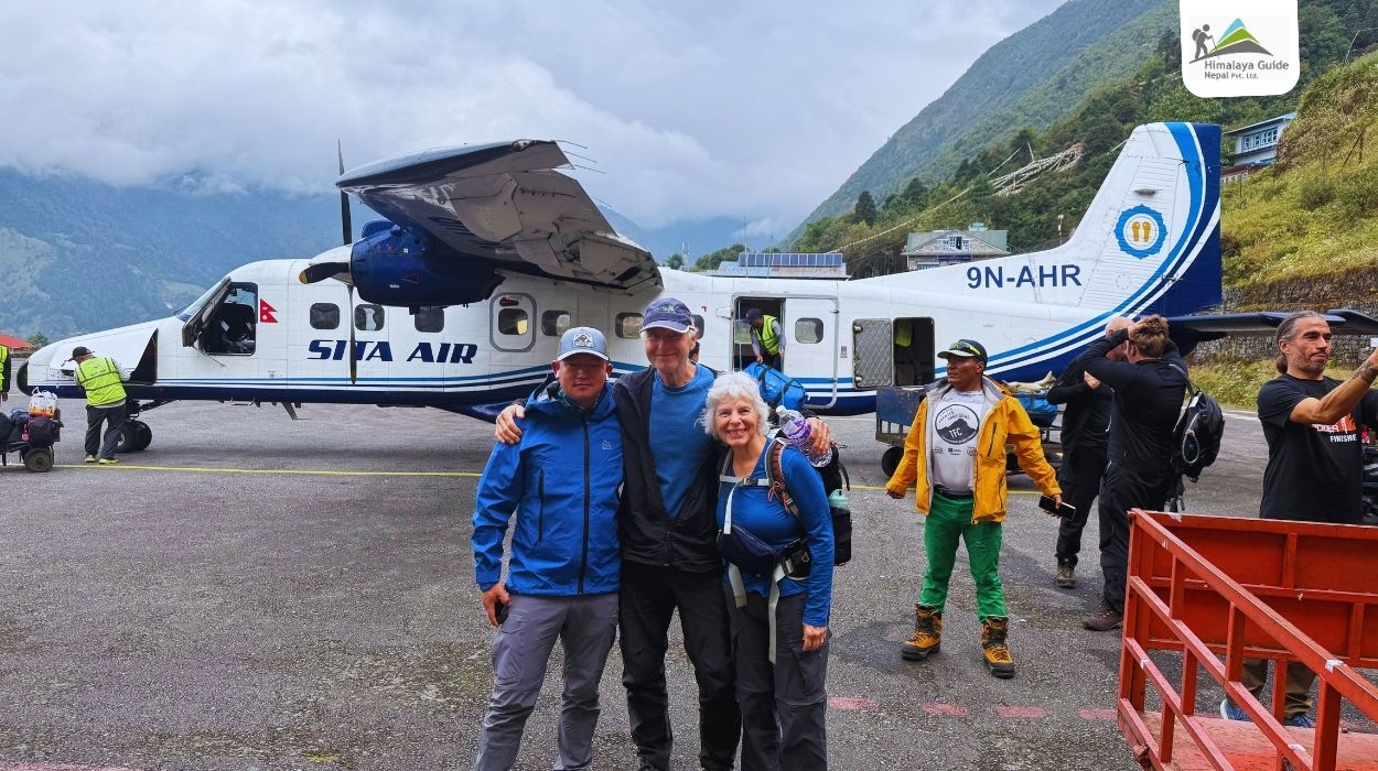
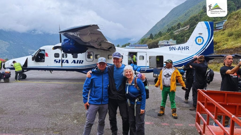
Your Everest Loop adventure begins with an early morning flight from Kathmandu to Lukla. The flight is short but exciting and takes about 35 to 40 minutes. As you fly, you’ll get stunning aerial views of green hills, terraced farmland, and mountain peaks. If the sky is clear, you can see peaks like Gauri Shankar and other mountains of the Rolwaling range from the airplane window.

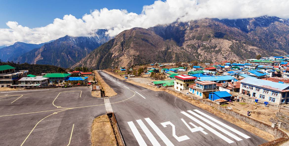
The landing at Tenzing-Hillary Airport in Lukla is a unique experience on its own. The short runway sits on a hillside slope, which makes it the most exciting beginning of your Everest round trip. Please note that during peak trekking seasons, Lukla flights may operate from Manthali Airport in Ramechhap instead of Kathmandu. In that case, you’ll take an early drive of about 4 to 5 hours from Kathmandu to Ramechhap before your flight.

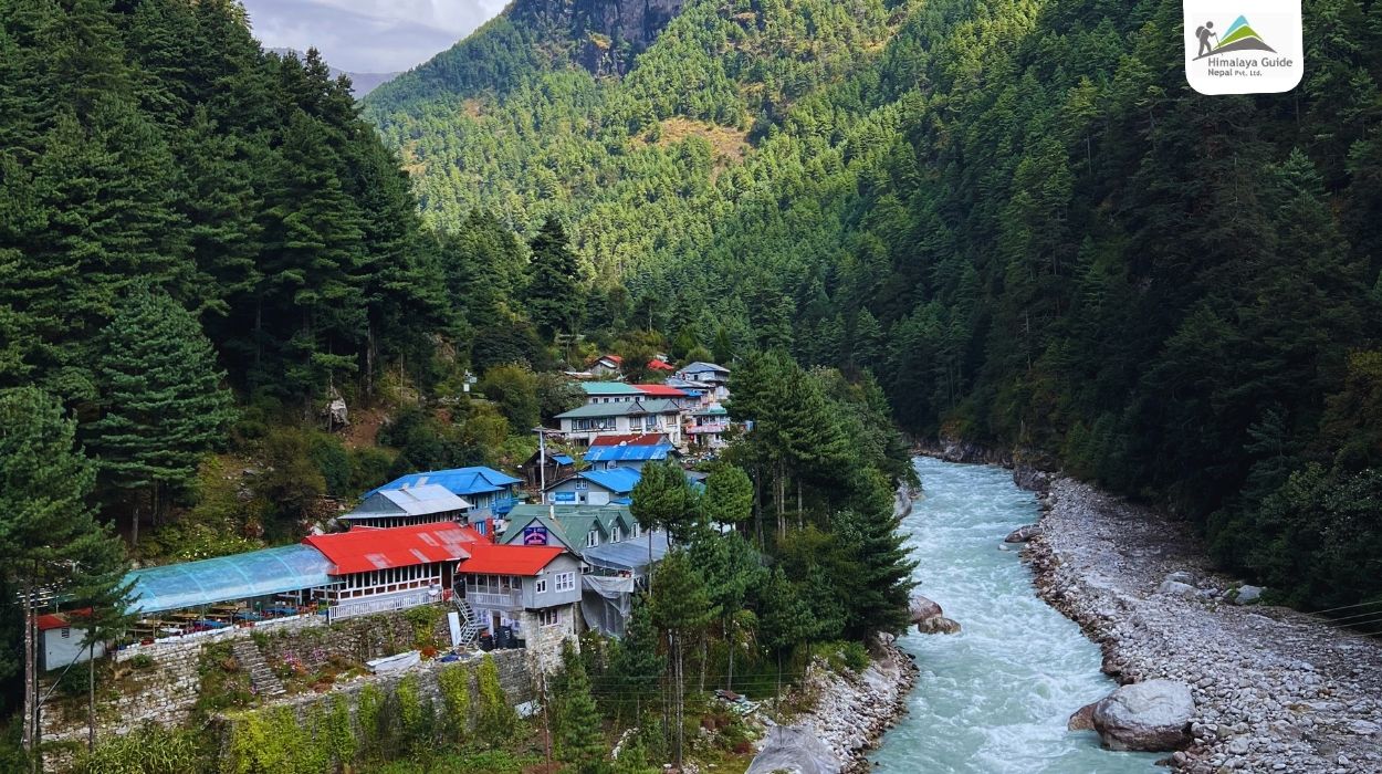
After landing, you’ll meet your porters and have a short break in Lukla while your guide prepares the trekking permits. Then the walk begins. The trail descends through the village of Chheplung and continues along the Dudh Koshi River, whose milky blue water comes straight from the glaciers of the Everest region.

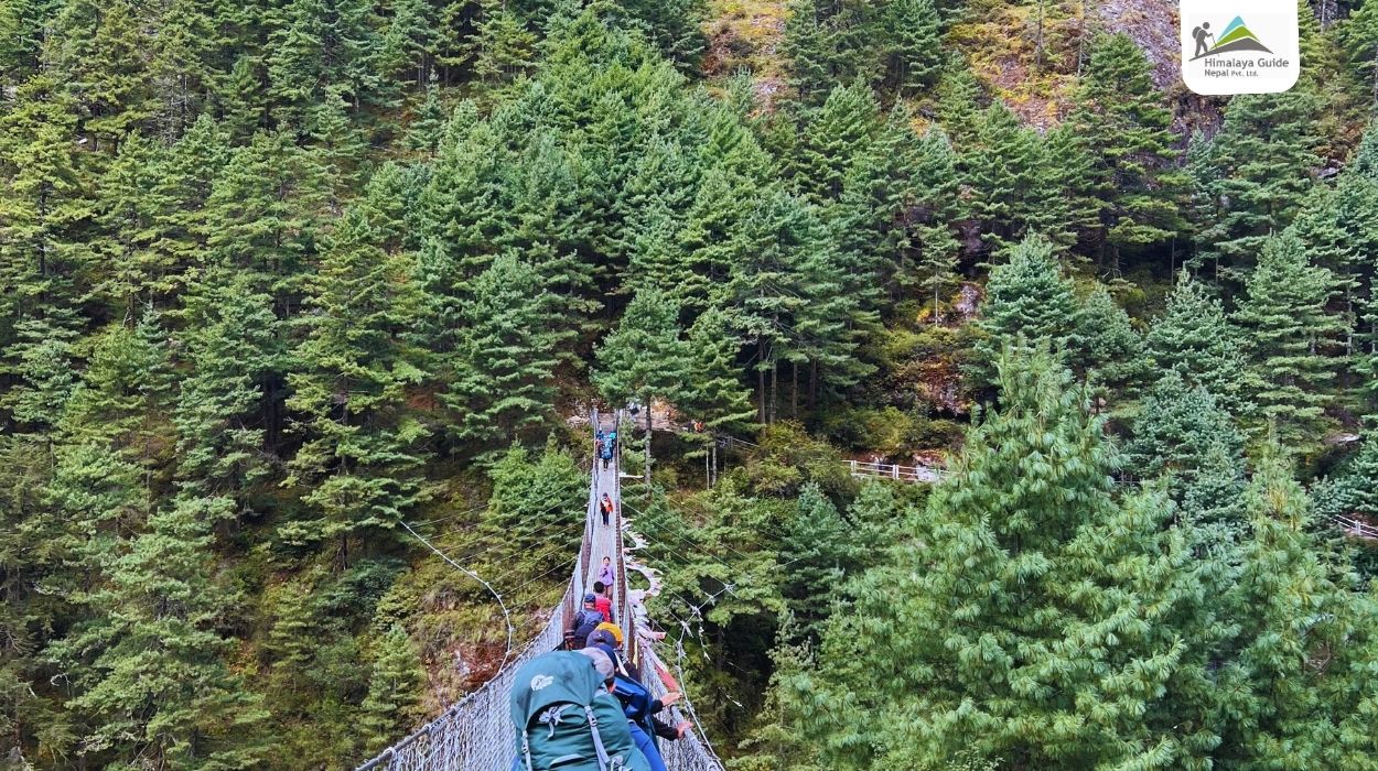
Along the way, you’ll pass Sherpa villages, prayer flags, mani walls with Buddhist mantras, and spinning prayer wheels. Always walk on the left side of the mani walls and prayer wheels, as it’s a sign of respect in local Buddhist culture. After passing Phakding, the route crosses several suspension bridges over the Dudh Koshi.

As you get closer to Monjo, the peak of Thamserku (6,623 m) starts to become visible, giving you your first close Himalayan view of the trek. After 5 to 6 hours of walking, you reach Monjo, a peaceful Sherpa village just before the entrance to Sagarmatha National Park.

Staying in Monjo instead of Phakding shortens the next day’s steep climb to Namche Bazaar. Spend the evening resting at your teahouse, enjoying a warm meal, and getting a good night’s sleep before entering Sagarmatha National Park the next morning.

Tenzing Hillary Airport Lukla in Everest Two Passes Trek

Day 02 :

Monjo to Namche Bazaar (3,440 m)

Trek Distance

6 km

Trek Duration

3-4 hrs

Highest Altitude

3,440 m (Namche Bazaar)

Place

Namche Bazaar

Meals

B+L+D

Accommodation

Teahouse

After breakfast in Monjo, you’ll walk a few minutes to the entrance gate of Sagarmatha National Park, a UNESCO World Heritage Site and home to Mount Everest. Here, your guide will check your permits before you officially enter the park. From this point on, you’re walking inside one of the most famous protected areas in the world.

The trail descends to Jorsale (2,740 m), the last village before Namche Bazaar. It’s a good place to refill your water bottle and take a short rest before the big climb ahead. From Jorsale, the path follows the riverbank through pine forests and crosses the Dudh Koshi a few times on suspension bridges.

After a while, you’ll reach the famous Hillary Suspension Bridge, hanging high above the meeting point of the Dudh Koshi and Bhote Koshi rivers. Covered in colorful prayer flags, this bridge is one of the most photographed spots on the Everest Loop route. Crossing it, with the river roaring far below, is a memorable part of the trek.

After the bridge, the trek climbs steeply uphill through forests of pine and rhododendron, which gains around 600 m in just a few kilometers. Take it slow and steady, drink plenty of water, and rest whenever you need to. About halfway up, you’ll reach a viewpoint where, on a clear day, you can get your first glimpse of Mount Everest (8,848.86 m) along with the Nuptse–Lhotse ridge, Lhotse and Taboche.

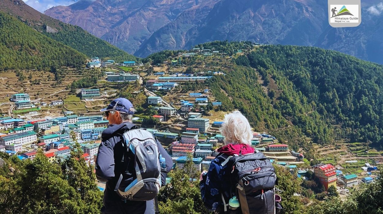
The final climb takes you to Namche Bazaar, the gateway to Everest and the main trading center of the Khumbu region. Built in a horseshoe-shaped bowl on the hillside, Namche is famous for its colorful houses, bakeries, cafés, gear shops, and the busy Saturday market where traders from nearby villages come to buy and sell goods. Peaks like Kongde Ri and Thamserku are beautiful from the village.

Since you’re now above 3,400 m, you may start to feel the effects of altitude. So, avoid rushing, keep yourself hydrated, and skip alcohol tonight. Spend the evening exploring the town at a relaxed pace, enjoying a warm meal, and resting well before your acclimatization day tomorrow.

Namche Bazar 3440M

Day 03 :

Rest & Acclimatization in Namche Bazaar (3,440 m)

Trek Duration

4-5 hrs

Place

3,440 m (Namche Bazaar)

Meals

B+L+D

Accommodation

Teahouse

Today is your first acclimatization day on the Everest Loop Trek. Acclimatization doesn’t mean staying in bed all day. The best way to help your body adjust to the thin air on this day is to hike to a higher point and then come back down to sleep at a lower elevation. The golden rule of the Himalayas is “climb high, sleep low,” and today’s day hike follows exactly that rule.

After breakfast, you’ll leave Namche and hike to the steep trail behind the town. The path passes the Sagarmatha National Park Visitor Center, where a small museum shares information about the region’s wildlife, Sherpa culture, and mountaineering history. From the hill above the visitor center, you get a wide view of Namche’s horseshoe-shaped settlement below.

The trail continues uphill to Syangboche (around 3,750 m), home to a small airstrip mainly used for cargo and helicopter flights. From here, a gentle walk takes you to the Everest View Hotel at 3,880 m. Built by a Japanese company in the early 1970s, the hotel is one of the highest-placed hotels in the world.

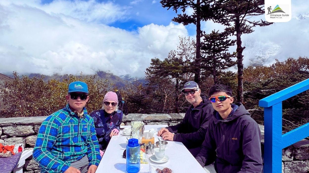
From the hotel terrace, on a clear day, you can see Mount Everest (8,848.86 m), Lhotse (8,516 m), Ama Dablam (6,812 m), Thamserku, and Kangtega. Many trekkers order a cup of tea or coffee here and spend some time on the terrace while their bodies adjust to the altitude. Ama Dablam is especially clear from this spot.

From the hotel, the trek descends to Khumjung village (3,780 m), one of the largest Sherpa villages in the Khumbu region. The village has stone houses with green roofs, potato fields, and long mani walls running through its center.

Khumjung is also home to the Khumjung School, founded by Sir Edmund Hillary in 1961 through his Himalayan Trust. The school has educated generations of Sherpa children and is still an important part of village life. Another highlight is the Khumjung Monastery, which keeps what locals call a yeti scalp, displayed inside a small glass box.

After lunch in Khumjung, you’ll walk back to Namche Bazaar via Syangboche. In the afternoon, you can rest at your teahouse or explore the town’s bakeries and gear shops. Keep drinking plenty of water, eat well, and get a good night’s sleep before continuing toward Thame tomorrow.

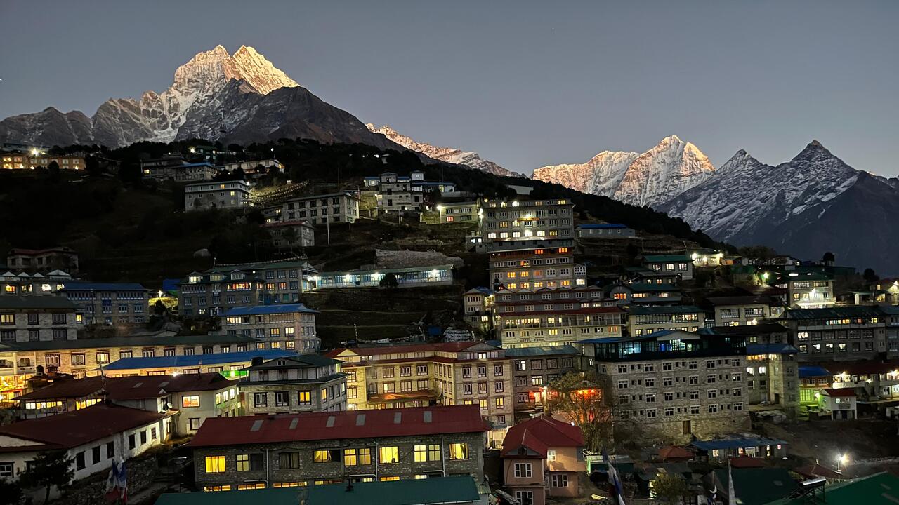
Night view from Namche Bazar

Day 04 :

Namche Bazaar to Thame (3,820 m)

Trek Distance

9 km

Trek Duration

4-5 hrs

Highest Altitude

3,820 m

Place

Thame

Meals

B+L+D

Accommodation

Teahouse

After breakfast, you’ll leave Namche and head west into the Bhote Koshi valley because this is your Everest Loop Trek. This route is away from the main Everest Base Camp trail, so you’ll meet far fewer trekkers today. The path starts with a climb above Namche, passing a small gompa and long rows of mani stones.

The trail goes through forests of pine, juniper, and rhododendron, with the Bhote Koshi River flowing deep in the valley below. Along the way, you’ll pass the small settlements of Thamo and Phurte. Thamo is home to a nunnery and a small hydropower station that supplies electricity to Namche and nearby villages. On this section, you may see Himalayan tahr and the colorful Danphe (Himalayan monal), Nepal’s national bird.

As you walk, Kongde Ri will be with you, and when you look back, Thamserku and Kusum Kanguru are visible to the east. The final section includes a short, steep climb and a bridge crossing over the Bhote Koshi before you reach Thame.

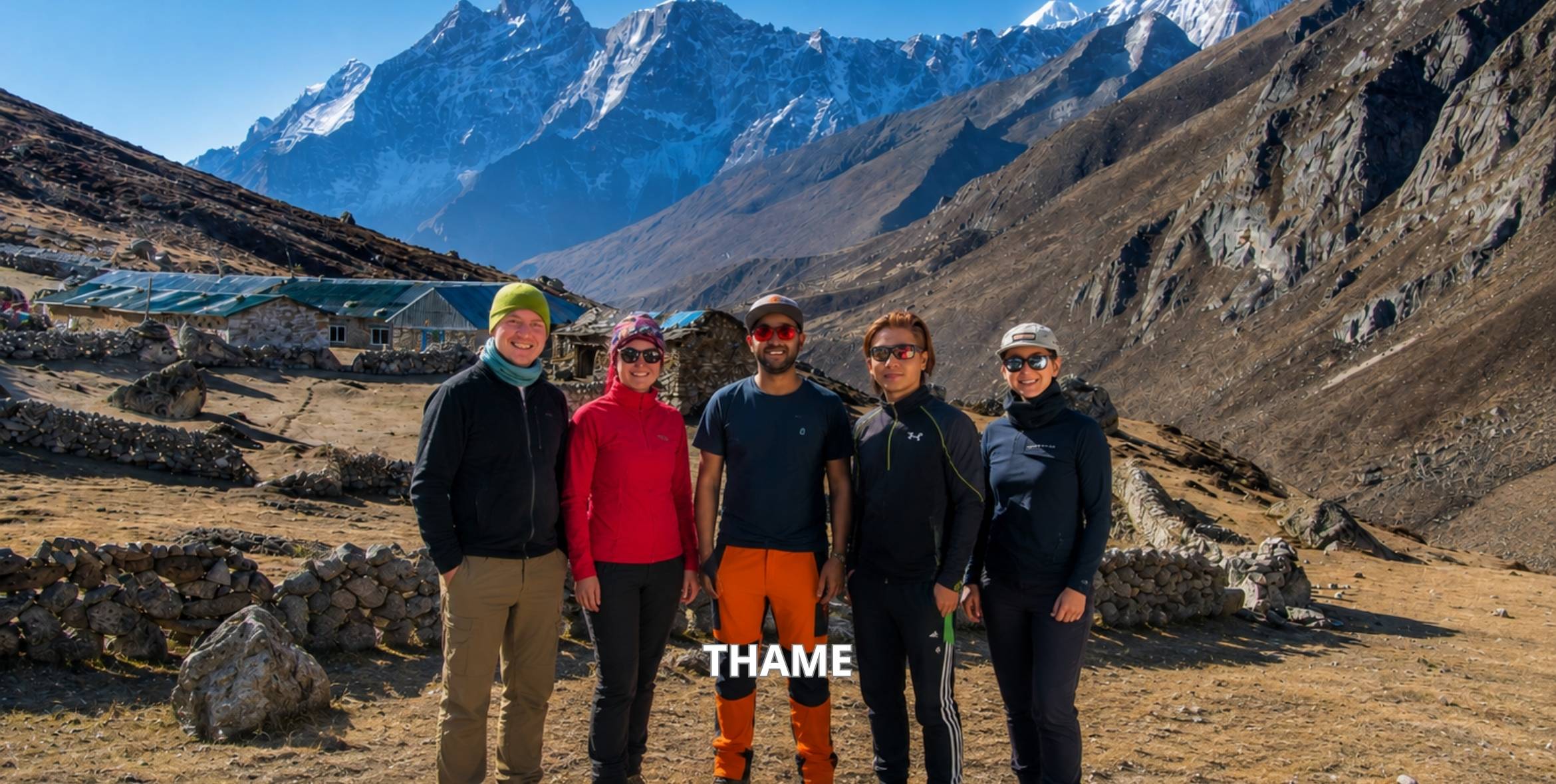
Thame is a traditional Sherpa village at 3,820 m. It is best known as the home of some of the world’s most famous mountaineers. Tenzing Norgay Sherpa, who made the first ascent of Everest with Sir Edmund Hillary in 1953, grew up here. The village is also linked to record-holding climbers such as Apa Sherpa and Kami Rita Sherpa. Talking with locals here gives you a close look at the people behind Everest’s climbing history.

In the afternoon, you can hike up to Thame Monastery, located on a hillside above the village. It is one of the oldest monasteries in the Khumbu region and hosts the Mani Rimdu festival every spring. The monastery also offers a clear view of the valley and the peaks around Thame, including Teng Kangpoche.

Thame also shows the real impact of climate change in the Himalayas. On August 16, 2024, a glacial lake above the village burst, sending floodwater through Thame. Everyone in the village survived, but nearly half of the buildings were destroyed, including homes, lodges, the school, and the health clinic. The village is still rebuilding, so you may see new construction and repaired trails along the way. Staying here and spending your money locally directly supports the community’s recovery.

Spend the evening resting at your teahouse. Since you’ve gained some height today, keep drinking water and walk slowly around the village to help your body adjust.

thame

Day 05 :

Rest & Acclimatization in Thame (3,820 m)

Trek Distance

About 6 to 8 km round trip (Sumdur Ridge) or about 2 to 3 km round trip (Monastery)

Trek Duration

5 to 6 hours (Sumdur Ridge) or 2 to 3 hours (Monastery)

Highest Altitude

3,900 m (Thame Monastery) or 4,830 m (Sumdur Ridge)

Meals

B+L+D

Accommodation

Teahouse

Day five is another acclimatization day on your Everest Round Trip. Just like in Namche, you’ll follow the “climb high, sleep low” rule. You hike to a higher point during the day and return to Thame to sleep. You choose between two hike options based on your fitness and how well you’re adjusting to the altitude.

Option 1: Hike to Sumdur Ridge (4,830 m)

This is a challenging option and the better choice for acclimatization. After an early breakfast, you’ll walk up toward Thame Monastery and continue on the steep pathways. The route takes you through grassy slopes, loose rocks, and yak pastures. There are no teahouses along the way, so carry water and snacks.

Above 4,000 m, the air becomes noticeably thinner, and every few hundred meters gained helps your body produce more red blood cells for the days ahead. So, take short steps and stop often to catch your breath.

From the ridge, you can see Kongde Ri, Teng Kangpoche, and Thamserku, along with the long Bhote Koshi valley north toward Nangpa La. This high pass was once part of the old trade route between Khumbu and Tibet. For centuries, Sherpa and Tibetan traders crossed it with yaks carrying salt, wool, and grain. Looking down at Thame from above, you can also see how the flood of 2024 changed the valley floor.

After some time at the top, you’ll descend the same trail to Thame.

Option 2: Hike to Thame Monastery and Above

If you prefer a shorter and easier day, you can hike up to Thame Monastery and climb a little higher on the hillside above it. This option still helps with acclimatization while giving your body more rest.

Thame Monastery is one of the oldest in the Khumbu region and lies on a ridge looking over the village. Inside, you’ll find old Buddhist paintings, statues, and butter lamps. If the monks are holding morning or afternoon prayers, you may be allowed to sit quietly at the back and listen. Please remember to remove your shoes, avoid touching statues, and ask before taking photos inside.

After visiting the monastery, you can walk to the higher slopes above it, sit for a while, and return to the village at your own pace.

Afternoon in Thame

Back in Thame, spend the rest of the day resting at your teahouse. You can walk through the village, chat with local families, or relax with a hot cup of tea. Eat well, drink plenty of water, and go to bed early.

Day 06 :

Thame to Kongde (4,250 m)

Trek Distance

10 km

Trek Duration

6-7 hrs

Highest Altitude

4,250 m (Kongde)

Meals

B+L+D

Accommodation

Kongde Ridge Lodge

Today you leave Thame and head toward Kongde, one of the quietest corners of the Everest region. Very few trekkers take this route, making it one of the peaceful trails in the Everest region. After breakfast, you’ll leave Thame along the south side of the Bhote Koshi River, crossing the valley floor before the route turns uphill toward the Kongde ridge.

The first part of the climb goes through forests of rhododendron and juniper, with small streams and waterfalls along the way. In spring, the rhododendrons bloom in red and pink, while in autumn the forest floor turns golden and brown. Musk deer and Himalayan tahr live in these forests, and you may spot them if you walk quietly.

As you continue, the forest thins out, and the trail becomes rocky. The climb is long and tiring, so take breaks and keep drinking water. There are no teahouses or villages between Thame and Kongde, so carry a packed lunch, snacks, and enough water for the day. Your guide will arrange this in Thame before you begin the day’s walk.

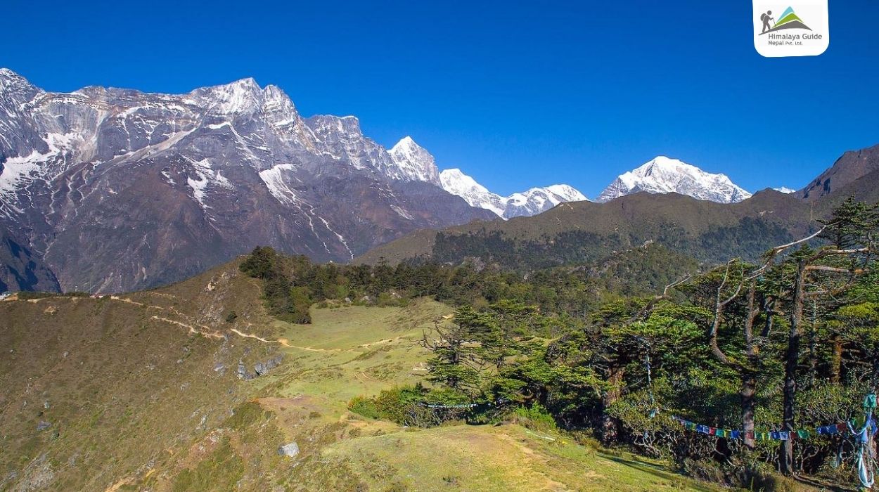
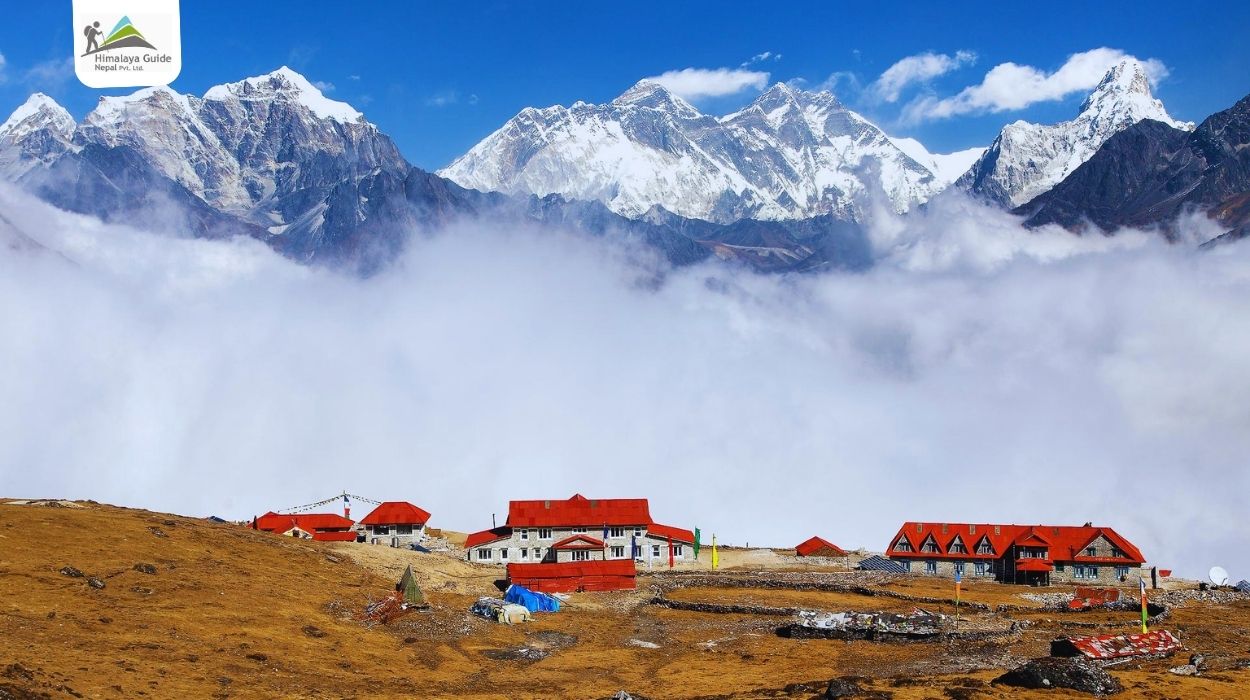
By the afternoon, you’ll reach Kongde, a small lodge located on a high ridge below Kongde Ri (6,187 m). Kongde Ri is considered a sacred mountain by the Sherpa people of the Khumbu. From the ridge, you can look across the whole Khumbu valley. On a clear evening, Mount Everest, Lhotse, Ama Dablam, Thamserku, and Kusum Kanguru are all visible from the lodge, along with Namche Bazaar far below.

Kongde has only one lodge and no village, so the evening is very quiet. Spend the remaining day resting, enjoying the sunset over the peaks, and staying warm, as temperatures drop quickly once the sun goes down. If the sky is clear at night, the stars over Kongde are some of the brightest you’ll see on the trek, as there is no light from any nearby settlement.

Day 07 :

Exploration Day at Kongde (4,250 m)

Trek Distance

5-7 km

Trek Duration

4-5 hrs

Highest Altitude

Around 5,000 m (Farak Ri )

Place

Kongde

Meals

B+L+D

Accommodation

Kongde Ridge Lodge

Today is a full day to explore the Kongde Ridge. Since you’re already at 4,250 m, a day hike to a higher point helps your body adjust to the altitude before you start descending. You can choose the route based on the weather, trail conditions, and how you are feeling.

After an early breakfast, you’ll leave the lodge and follow the ridge above Kongde. There is no proper trail, only faint paths over grassy slopes, rocks, and patches of snow in the colder months. The walking is slow and steady, and the air feels thin above 4,500 m. Take short steps, breathe deeply, and stop whenever you need to.

Option 1: Toward the Kongde Ri Base Area

This route follows the ridge west toward the base of Kongde Ri (6,187 m). As you get closer, the mountain’s rocky walls and hanging glaciers come into clear view. Kongde Ri is sacred to the Sherpa people, and you’ll find prayer flags and small stone cairns left by locals and climbers along the way.

Option 2: Farak Ri (Farakpa Peak) Viewpoint

Farak Ri, at around 5,000 m, is the more popular choice and takes you to the highest point of the trek. The final section is steep and rocky, but it doesn’t require any climbing skills. From the top, you can see the entire Khumbu region. On a clear morning, you can see Mount Everest, Lhotse, Ama Dablam, Thamserku, Kusum Kanguru, and Kangtega, along with the valleys leading toward Namche, Thame, and Tengboche.

Mornings are best known for the clearest skies, while clouds often move in by midday. So, it’s best to start early and reach the top before 10 or 11 am.

Afternoon at Kongde

After spending some time at the viewpoint, you’ll walk back down the ridge to the lodge for a warm lunch. The rest of the afternoon is free to rest, read, or sit outside watching the light change on the peaks. Evenings at Kongde are cold, so stay warm and drink plenty of hot drinks.

Get a good night’s sleep, as tomorrow’s trail begins the long descent back toward the Dudh Koshi valley on the Everest Loop Trek.

Day 08 :

Kongde to Phakding (2,610 m)

Trek Distance

10-12 km

Trek Duration

5-6 hrs

Highest Altitude

4,250 m (Kongde)

Place

Phakding

Meals

B+L+D

Accommodation

Teahouse

Today you leave the high ridge of Kongde and descend all the way down to the Dudh Koshi valley. It’s one of the biggest elevation drops of the Everest Circuit Trek, losing over 1,600 m in a single day. While going downhill is easier on the lungs, it’s tough on the knees and legs, so trekking poles are very helpful today.

If the sky is clear, take some time in the morning to see the sunrise over the Khumbu peaks from the lodge before breakfast. Then the descent begins. The trail takes you from the ridge over rocky and grassy slopes before entering the forest. Some sections are narrow and loose, especially in the upper part, so walk carefully and take small steps.

As you go lower, the forest becomes thicker, with rhododendron, fir, and birch trees covering the slopes. The air feels warmer and easier to breathe with every hour of walking. You’ll also hear more birdsong, and the sound of the Dudh Koshi River grows louder as you get closer to the valley.

After several hours of descent, the journey reaches the Dudh Koshi valley near Toktok, below Monjo, and joins the main Everest trail. From here, the walk to Phakding is easy and mostly flat, which follows the river past Benkar and crosses a few suspension bridges along the way. You’ll also pass mani walls, prayer wheels, and small Sherpa settlements, and you’ll start meeting other trekkers again after several quiet days.

By the afternoon, you’ll reach Phakding, a small village spread along both banks of the Dudh Koshi River. Enjoy a hot shower if available, a filling meal, and a relaxed evening by the river.

Phakding

Day 09 :

Phakding to Lukla (2,860 m)

Trek Distance

8 km

Trek Duration

3-4 hrs

Highest Altitude

2,860 m (Lukla)

Place

Lukla

Meals

B+L+D

Accommodation

Teahouse

Today is the last day of walking on your Everest Loop Trek. After breakfast in Phakding, you’ll follow the Dudh Koshi River back toward Lukla on the same trail you walked at the start of the journey. The trail passes through the small villages of Ghat and Thado Koshi, with mani walls, prayer flags, and carved stones along the way. You’ll cross a few suspension bridges over the Dudh Koshi.

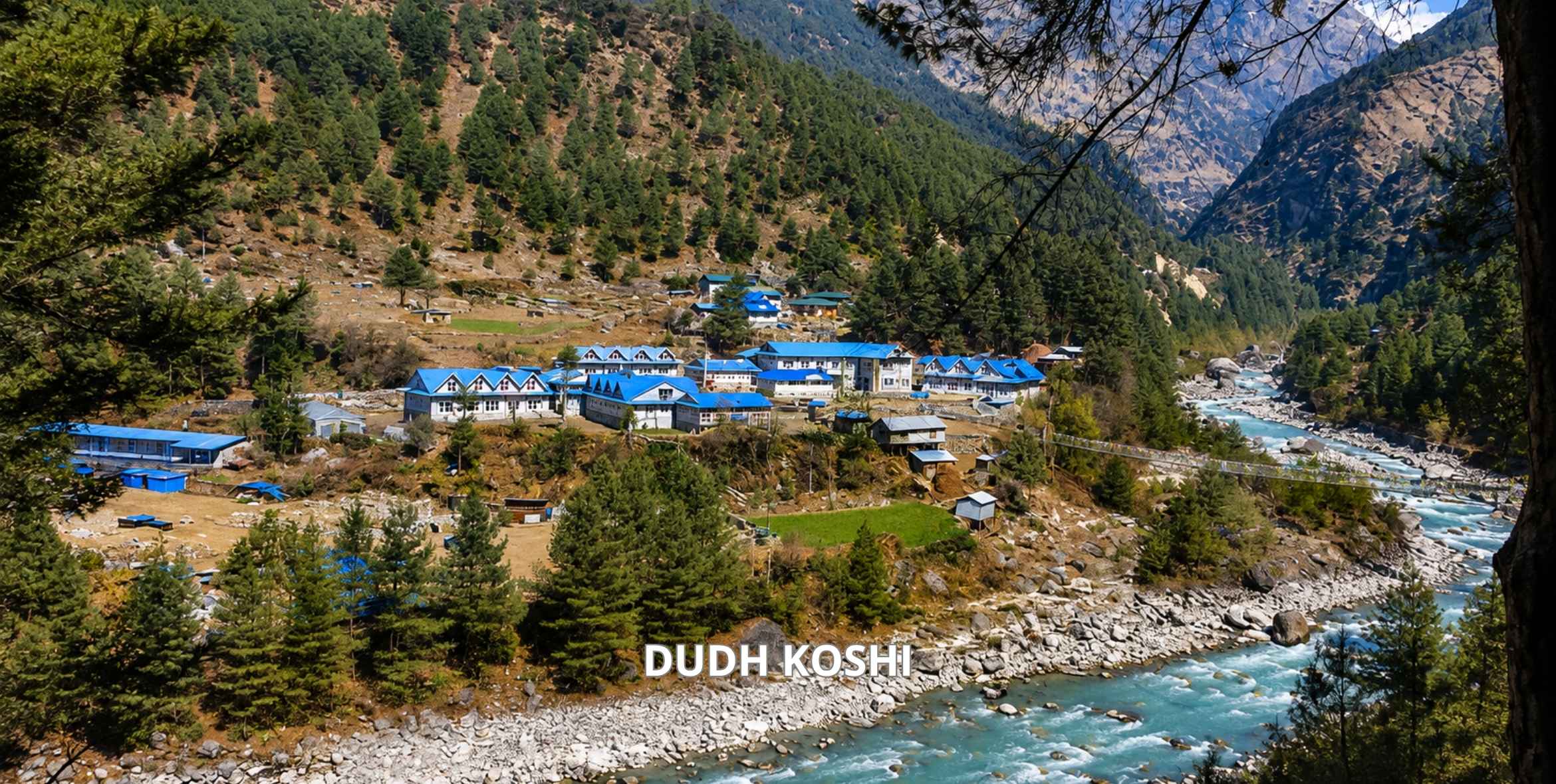
After Chheplung, the trail turns uphill for the final climb to Lukla. This last section takes about an hour and can feel tiring after a week and a half of trekking. Once you reach Lukla, check in to your teahouse and rest. dudh koshi


Day 10 :

Flight from Lukla back to Kathmandu

Flight Hours

35-40 minutes

Highest Altitude

2,860 m (Lukla)

Place

Kathmandu

Meals

B

Accommodation

Hotel

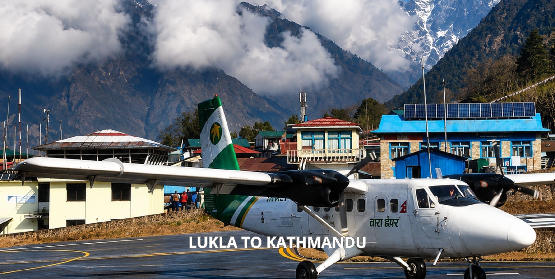
After an early breakfast, you’ll take the morning flight from Lukla back to Kathmandu. The 35 to 40-minute flight provides final views of the Himalayas, green hills, and terraced fields. During peak seasons, flights may land at Manthali Airport in Ramechhap, followed by a 4-5-hour drive to Kathmandu.

After arriving, you’ll be transferred to your hotel. The rest of the day is free to rest, shop in Thamel, or visit nearby sites like Swayambhunath or Boudhanath Stupa.

lukla to ktm

Inclusion/Exclusion in Everest Loop Trek – 10 Days

Our Everest Loop Trek Package Includes

  • International airport pick-up and drop-off service
  • 2 nights’ standard accommodation in Kathmandu on a BB plan, twin-sharing basis.
  • Hotel to Airport by taxi.
  • Flight from Kathmandu to Lukla and back (high-season flight from Manthali to Lukla).
  • Both ways, Airport Taxes.
  • Three meals a day (Breakfast, Lunch, and Dinner along the trek).
  • Lodge accommodation on the way (a simple one).
  • 2 nights’ accommodation at Kongde Lodge with breakfast, lunch, and Dinner.
  • Licensed guide (Including salary, equipment, flight fare, insurance, Lodging, and Food)
  • Equipment: Down Jacket, Sleeping Bags.
  • Legal documents (National Park permit and Local Government Fees).
  • All Government Taxes.
  • Everest Loop Trekking Map.
  • Duffel bag if needed.
  • First aid medical box with an oximeter and thermometer.
  • Some fresh and dried fruits along the trek.
  • A token of love from the company.
  • Farewell lunch or dinner.

Our Everest Loop Trek Package Excludes

  • Extra night’s accommodation and food in Kathmandu.
  • Travel insurance is required for the trek and travel period.
  • Porters: we are ready to organize porters as promised.
  • Hot, Hard, and soft drinks, such as Coke, Mineral Water, and beer.
  • Personal expenses (laundry, bar bill, telephone, extra helper, battery charge for the shower, and boiled water)
  • Tips are suggested for staff.
Private Trip Booking

Prefer a more personal journey? Our private packages offer flexible dates, custom itineraries, and dedicated support—perfect for those seeking a tailored travel experience.

Equipment Checklist for Everest Loop Trek – 10 Days

0/45 packed
checkroom Upper Body 0/5
accessibility_new Lower Body 0/4
steps Footwear 0/4
face Head & Hands 0/5
backpack Pack & Sleep 0/5
explore Trekking Gear 0/7
health_and_safety Health & Safety 0/6
description Documents & Money 0/5
devices Electronics 0/4
Region Guide Everest Region Guide & Checklist

You'll find everything you need to know before trekking in the everest region. Permits, Gear list, Packing Tips, all.

Download Free Guide

Best Time for Everest Loop Trek

The best time for the Everest Loop Trek is autumn (September to November) and spring (March to May). These seasons offer stable weather, clear mountain views, and safer trail conditions on the high sections between Thame and Kongde.

Autumn is the most popular time for the Everest Circuit Trek as the season comes after the monsoon rain, which provides the clearest view of the sky and mountain peaks. Trekking paths are also dry during this time, making them safe to walk. Daytime temperatures around Namche and Thame range from about 10°C to 15°C, while nights at Kongde can drop below 0°C, especially in November.

Similarly, spring is another of the best times for the round trip to Everest and is best for enjoying blooming flowers. The rhododendron forests below Thame and on the way down from Kongde bloom in red, pink, and white from late March to April. Spring is also a time of Mani Rimdu festival that is held at Thame Monastery, usually held in May. If your dates match, you can experience the unique culture of the region.

Everest Loop Trek Difficulty

Everest Loop Trek is a moderate to strenuous trek in the Khumbu region. Although it doesn’t go as high as Everest Base Camp (5,364 m), it does involve sleeping at an altitude of around 4,250 m (13,944 ft) at Kongde and some optional sections at around 5,000 m. Likewise, the trek doesn’t involve technical climbing expeditions, but trekkers should be prepared for several hours of walking on varied sections.

The section between Thame to Kongde is the most challenging on the Everest Loop Trek. It has a narrow path which requires care, steady footing, and a calm mind. This section can be tough for trekkers who feel uneasy with heights.

Weather is another challenging aspect of the Everest Loop Trek. As the weather in the Himalayas is unpredictable, it affects the trek to Everest Circuit as well. Although the mornings of peak seasons (spring and autumn) are clear, clouds, wind, and cold cause trouble by afternoon. Nights at Thame and Kongde can drop below freezing, especially from December to February. Snow may also cover the higher trails in winter and early spring, which can block the trekking routes.

Everest Loop Trek Vs Other Everest Region Treks

Trek Duration Highest Point Highest Overnight Stop Difficulty Crowds Main Highlights Best For
Everest Loop Trek 10 days Farak Ri (around 5,000 m) Kongde (4,250 m) Moderate to challenging Low (quiet after Namche) Thame village, Kongde ridge, Khumbu views from above, Sherpa culture Trekkers who want Everest views without the crowds
Everest Base Camp Trek 12 to 14 days Kala Patthar (5,545 m) Gorak Shep (5,164 m) Challenging High Everest Base Camp, Khumbu Glacier, Tengboche Monastery Trekkers who want to stand at the foot of Everest
Gokyo Lakes Trek 12 to 13 days Gokyo Ri (5,357 m) Gokyo (4,790 m) Moderate to challenging Medium Turquoise Gokyo Lakes, Ngozumpa Glacier, Cho Oyu views Lake lovers and photographers
Everest Three Passes Trek 18 to 20 days Kongma La (5,535 m) Gorak Shep (5,164 m) Very challenging Medium Kongma La, Cho La, Renjo La passes, EBC, Gokyo Experienced trekkers seeking a full Khumbu circuit suit Everest Three Passes Trek
Everest View Trek 5 to 7 days Everest View Hotel (3,880 m) Namche Bazaar (3,440 m) Easy to moderate Medium to high Namche Bazaar, Khumjung, first Everest views Short holidays, families, first-time trekkers
Tengboche Monastery Trek 7 to 9 days Tengboche (3,867 m) Tengboche (3,867 m) Easy to moderate Medium to high Tengboche Monastery, Ama Dablam views, Sherpa villages Culture lovers with limited time
Region Guide Everest Region Guide & Checklist

You'll find everything you need to know before trekking in the everest region. Permits, Gear list, Packing Tips, all.

Download Free Guide

What Trekkers Ask About Everest Loop Trek

Chandra Bahadur Gurung Profile

Chandra Gurung

Founder & Senior Trip Manager

"I've personally consulted and guided 1,800+ travelers in choosing their ideal Himalayan route."

— Founder & Trip Organizer

Himalayan Route Matcher

Tailor your date, style, and companions for a direct recommendation.

1. Trip Type
2. Group Size
3. Travel Style
4. Travel Date
5. Duration