Jugal Himal Trek, Sindhupalchok

Jugal Himal Panch Pokhari Trek Facts

Country

Nepal

Difficulty

Easy to Moderate

Trek Duration

12

Best Season

Mar-May / Sep-Nov

Accommodation

Teahouse, Home Stay or Camping

Start / End Point

Kathmandu - Kathmandu

Max. Altitude

4,074m

Group Size

2 - 15

Meals Included

Breakfast, Lunch, Dinner

Acclimatization

Panch Pokhari (1 nights)

Permits

GCA Permit + TIMS

Recommended For

Off Beaten Travellers

Duration

15 Days

Activity

Less Touristy Trekking

Nature Of Trek

Teahouse + Camping Trek

Activity Per Day

4 - 5 Hours Walking

Transportation

Bus / Shared Jeep

Jugal Himal, Sindhupalchok Overview

The Jugal Himal Trek is a 15-day trek in Sindhupalchok, northeast of Kathmandu. On the way, you reach the five holy lakes of Panch Pokhari, the Jugal Himal Base Camp at 4,500m, and a 5,570m viewpoint that looks straight at Everest and Lhotse on a clear day.

My name is Chandra Gurung, and my team at Himalaya Guide Nepal takes you three days deeper, past the last lodge in Panch Pokhara, up to the Jugal Himal base camp at the foot of the glacier.

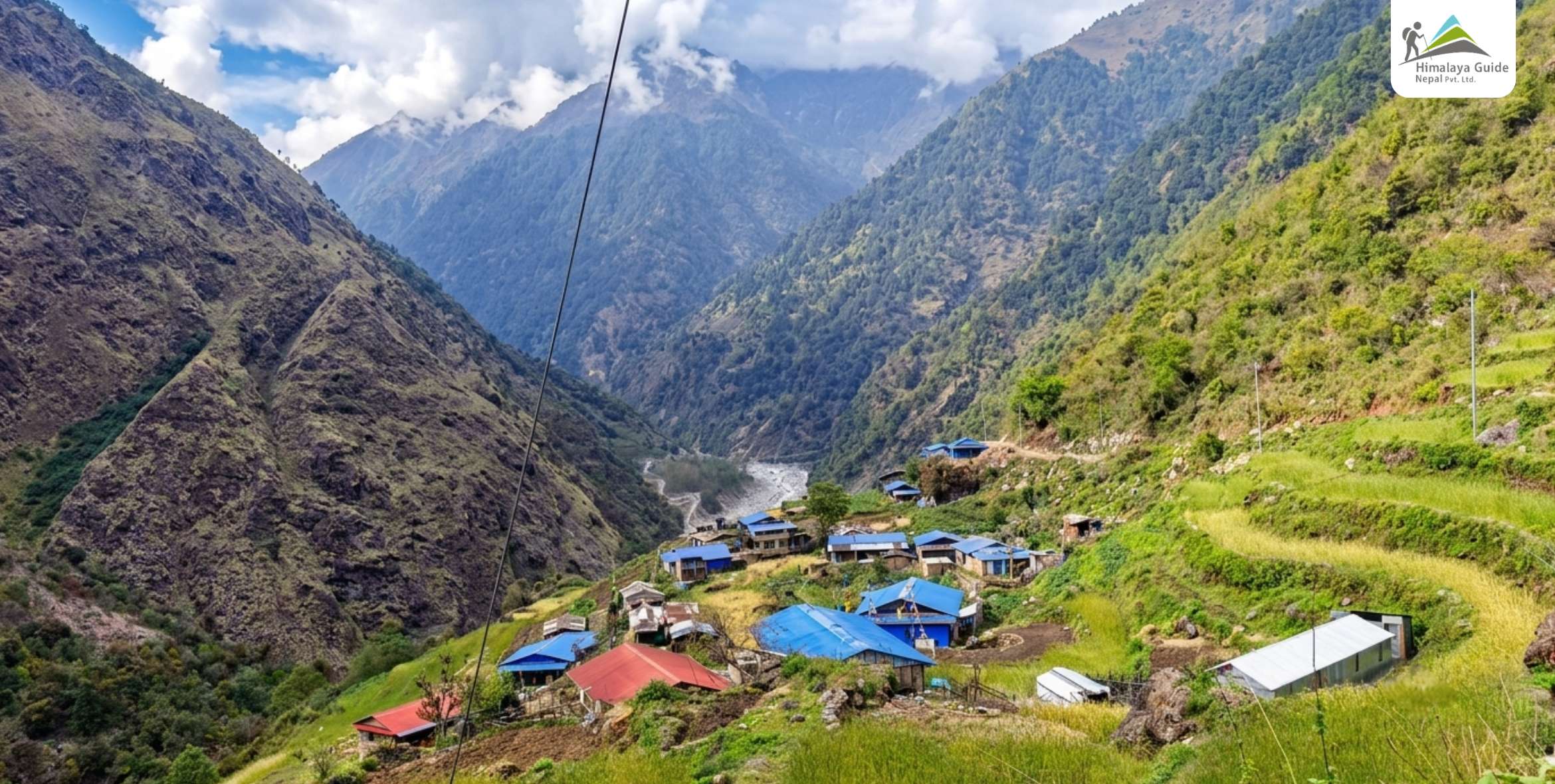
This is one of the quietest high trails near Kathmandu. Many days you will not pass another foreigner at all. Just old Tamang and Sherpa villages, thick forest, and a wall of 6,000m peaks that marks the border with Tibet.

The range is a wall of sharp snow peaks. Dorje Lakpa is the tallest at 6,966m. Around it stand Phurbi Chhyachu, Madiya, and Jugal Yangri. Together they form part of the border wall between Nepal and Tibet.

The 2015 earthquake hit Sindhupalchok hard, and tourism slowed for years after that. In a strange way, it kept the region raw. The trails stayed quiet. The villages still farm and herd the old way. You feel like a guest here, not a customer.
Jugal Himal Trek With Panch Pokhari Highlights

  • A 5,570m viewpoint where Everest and Lhotse show up on a clear morning
  • The real Jugal Himal Base Camp at 4,500m, deep among the peaks
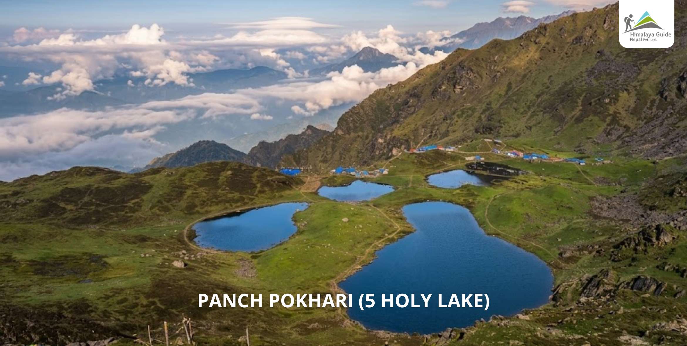
  • Panch Pokhari, five holy lakes and the world’s 9th highest wetland
  • Shishapangma, an 8,027m Tibetan giant, on the far skyline
  • Old Tamang and Sherpa villages, including Tembathang
  • The Nepemasal valley, thick with forest, Tongsokpa caves and streams
  • Nights under a sky with no city light at all
  • One-way walking, in from Melamchi and out through Tembathang

Jugal Himal Trek Outline Itinerary

Route End Elevation Elevation Gain/Loss Duration Distance
Day 01 Arrive in Kathmandu, Transfer to Hotel 1,350 M
Day 02 Drive Kathmandu to Chhimti via Melamchi 1,875 M
Day 03 Trek Chhimti to Gyalsing (Tuppi Danda) via Deurali 2,720 M 4 - 5 HOURS WALKING 10 - 12 KM
Day 04 Trek Gyalsing to Noshyampati 3,700 M 5 - 6 HOURS WALKING 11 - 13 KM
Day 05 Trek Noshyampati to Panch Pokhari via Laurebina Pass 4,074 M (PASS), 4,000 M 4 - 5 HOURS WALKING 5 - 6 KM
Day 06 Rest day at Panch Pokhari 4,000 M
Day 07 Trek Panch Pokhari to Chhedang Gumba via Nemagchukpa Kharka ~4,229 M (HIGH POINT), 2,636 M 6 - 7 HOURS WALKING 11 - 13 KM
Day 08 Trek Chhedang Gumba to Nepemasal via Tongsyup Gupha 3,500 M 5 - 6 HOURS WALKING 7 - 8 KM
Day 09 Trek Nepemasal to Bumpaserpa 4,225 M 3 - 4 HOURS WALKING 10 - 12 KM
Day 10 Trek Bumpaserpa to Jugal Base Camp via Jugal View Point 4,500 M, VIEWPOINT 4,400 M 5 - 6 HOURS WALKING 7 - 8 KM
Day 11 Jugal Base Camp to Everest View Point and back 5,570 M 5 - 6 HOURS RETURN WALKING 6 - 8 KM
Day 12 Trek Jugal Base Camp to Chhedang Gumba via Nepemasal 2,636 M 6 - 7 HOURS WALKING 15 - 17 KM
Day 13 Trek Chhedang Gumba to Tembathang via Dipu 2,160 M 4 - 5 HOURS WALKING 14 - 16 KM
Day 14 Trek Tembathang to Kartike 1,950 M 4 - 5 HOURS WALKING 11 - 13 KM
Day 15 Drive Kartike to Kathmandu via Chautara 1,350 M
Download PDF download

Jugal Himal Base Camp and Panch Pokhari Trek Itinerary

Day 01 :

Arrive in Kathmandu, Transfer to Hotel

Drive Distance

Approx 6.1 KM

Drive Duration

30 MINUTES, PRIVATE CAR

Highest Altitude

1,350 M

Place

KATHMANDU

Meals

Breakfast & Dinner

Accommodation

3 STAR Hotel

Your trip starts the moment you land. One of our team waits at the airport with a Himalaya Guide Nepal name board. We drive you through the busy streets of Thamel and check you into your hotel. Settle in and breathe.

In the evening we sit down for a short trek briefing. Your guide checks your gear, hands over your duffel bag and route map, and answers every question you have. Eat a good dal bhat tonight. The trail can wait one day.

Day 02 :

Drive Kathmandu to Chhimti via Melamchi

Drive Distance

APPROX. 75 KM

Drive Duration

5 - 6 HOURS

Highest Altitude

1,875 M

Place

CHHIMTI

Meals

BLD

Accommodation

TEAHOUSE

We leave the city early and drive toward Melamchi. The tarmac runs smooth as far as Dhulikhel, where you catch your first look north at the Langtang and Jugal peaks. After the bazaar the road turns to dirt and climbs.

We stop in Melamchi for lunch, then follow a winding track higher into the hills. By afternoon you reach Chhimti, a small settlement of terraced fields and mixed Tamang and Sherpa homes. This is your first taste of real quiet.


Day 03 :

Trek Chhimti to Gyalsing (Tuppi Danda) via Deurali

Trek Distance

10 - 12 KM

Trek Duration

4 - 5 HOURS WALKING

Highest Altitude

2,720 M

Place

GYALSING

Meals

BLD

Accommodation

TEAHOUSE

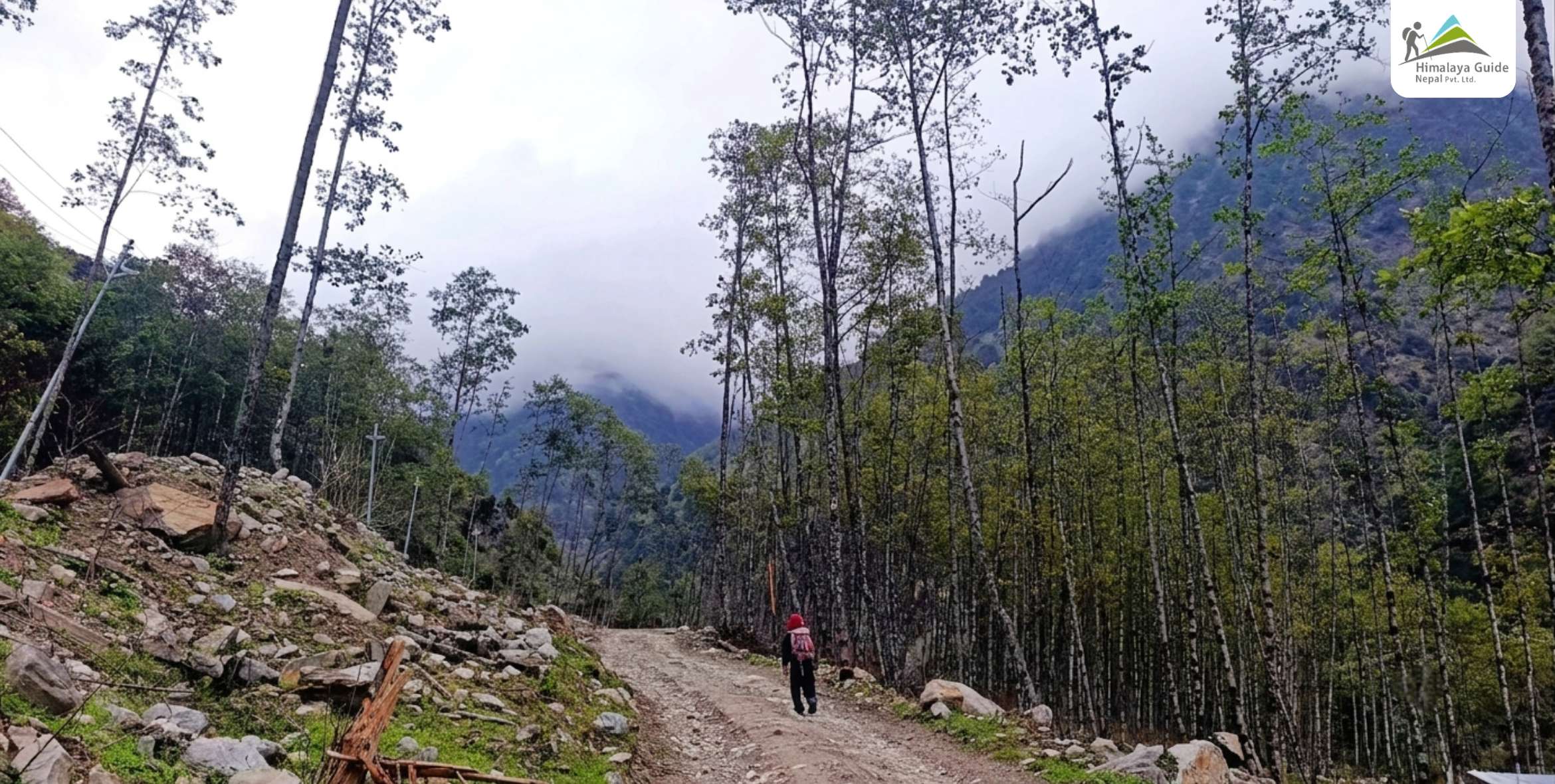
Now the walking begins. The trail climbs steadily through forest of rhododendron and pine, with birds calling from the branches. Your legs wake up fast on this first day. You pass the ridge point of Deurali along the way.

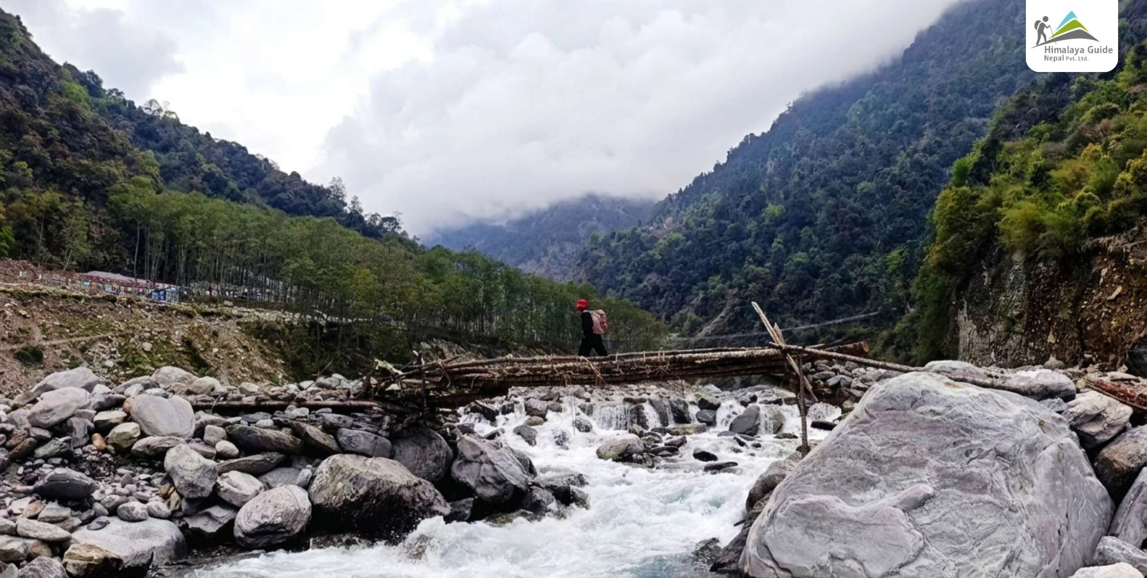
By afternoon you reach Gyalsing, a ridge spot the locals call Tuppi Danda. The snow line shows up clear to the north for the first time. The forest air stays cool, and tonight you camp with a view.Trail during Jugal Himal Trek

Day 04 :

Trek Gyalsing to Noshyampati

Trek Distance

11 - 13 KM

Trek Duration

5 - 6 HOURS WALKING

Highest Altitude

3,700 M

Place

NOSHYAMPATI

Meals

BLD

Accommodation

TEAHOUSE

Today you gain real height, so we keep a slow and steady pace. The forest thins out and the ridge opens wide on both sides. Look up as you climb. Eagles and bearded vultures ride the wind along the ridge line.

Noshyampati is a quiet high camp with far views over the foothills. When night falls, you can even pick out the distant lights of Kathmandu below. Get to bed early. The sunrise up here is worth the cold start.

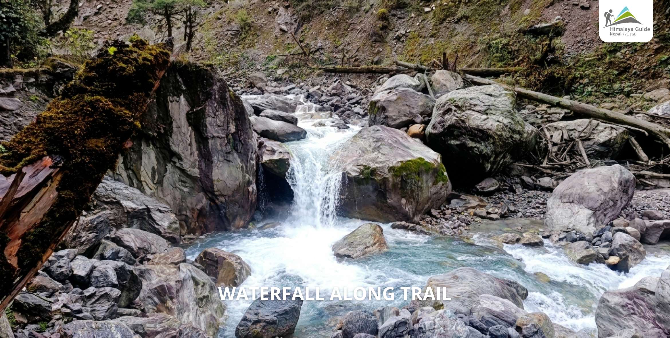
Waterfall Along Trail

Day 05 :

Trek Noshyampati to Panch Pokhari via Laurebina Pass

Trek Distance

5 - 6 KM

Trek Duration

4 - 5 HOURS WALKING

Highest Altitude

4,074 M (PASS), 4,000 M

Place

PANCH POKHARI

Meals

BLD

Accommodation

TEAHOUSE OR CAMP

A stone-step trail lifts you above the trees this morning. You pass a rocky cleft at Chhata Ghabha, then cross the Laurebina Pass. One quick note, this is not the same Lauribina near Gosaikunda. It only shares the name.

Over the pass, the Jugal peaks stand close and white. Soon you reach Panch Pokhari, the five holy lakes. Prayer flags snap in the wind, and a small Shiva temple sits by the water. We camp beside the lakes.

Panch Pokhari

Day 06 :

Rest day at Panch Pokhari

Highest Altitude

4,000 M

Place

PANCH POKHARI

Meals

BLD

Accommodation

TEAHOUSE

You do not sit idle today. You let your body catch up with the height, which cuts your altitude risk for the hard days ahead. In the morning we take a short hike up the ridge above the lakes.

The sunrise on Dorje Lakpa is the reason we climb early. From the ridge you see Rolwaling and Langtang across the sky, and the lake water shifts from blue to green. Then back to camp for hot tea.


Day 07 :

Trek Panch Pokhari to Chhedang Gumba via Nemagchukpa Kharka

Trek Distance

11 - 13 KM

Trek Duration

6 - 7 HOURS WALKING

Highest Altitude

~4,229 M (HIGH POINT), 2,636 M

Place

CHEDDANG GUMBA

Meals

BLD

Accommodation

TEAHOUSE

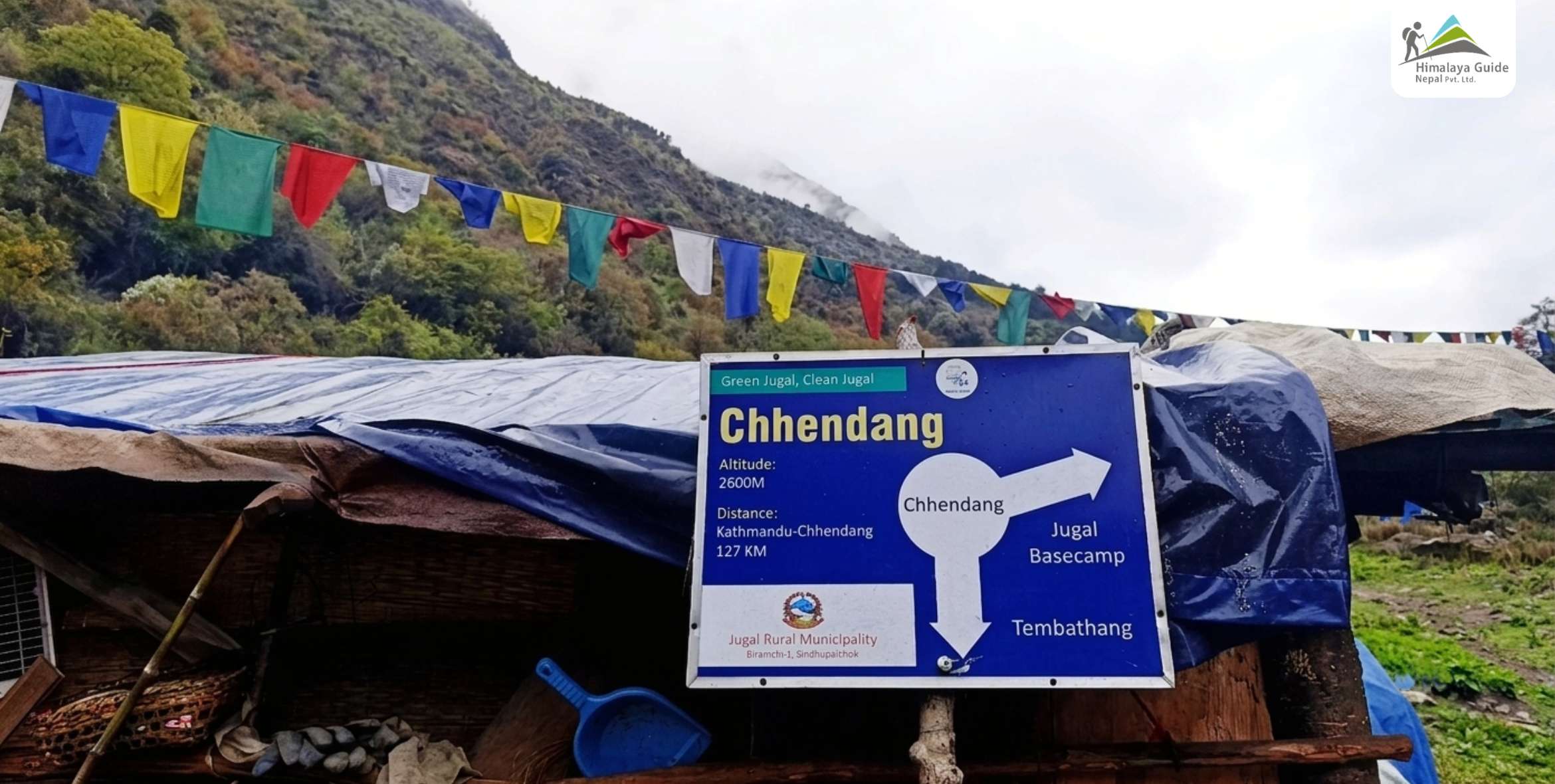
Now you leave the lakes and step into the wild half of this trek. You climb first to a ridge-top viewpoint, then the trail turns newer and rougher underfoot. Few feet walk this way, so take your time.

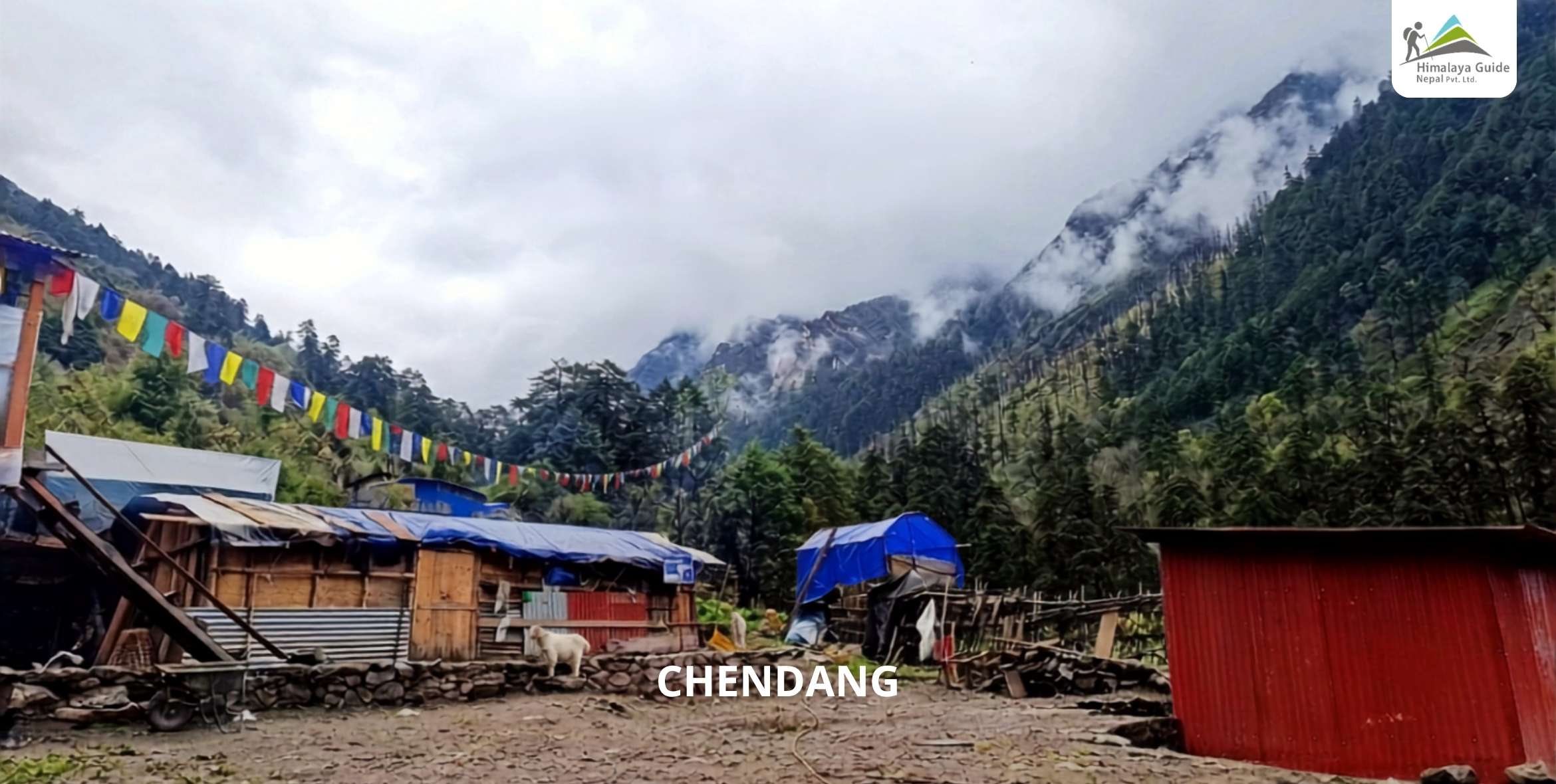
From here it is a long descent on a shepherd track. Your knees will feel it, so go slow and steady. You drop toward the Balephi river as forest closes in again, reaching Chhedang Gumba for the night.

chendang

Day 08 :

Trek Chhedang Gumba to Nepemasal via Tongsyup Gupha

Trek Distance

7 - 8 KM

Trek Duration

5 - 6 HOURS WALKING

Highest Altitude

3,500 M

Place

NEPEMASAL

Meals

BLD

Accommodation

TEAHOUSE

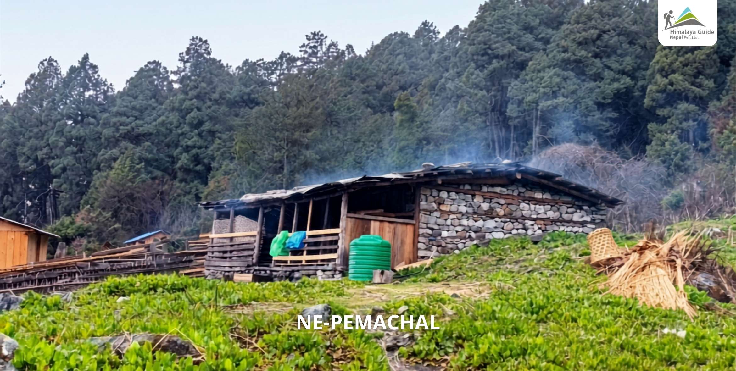
ne pemachal

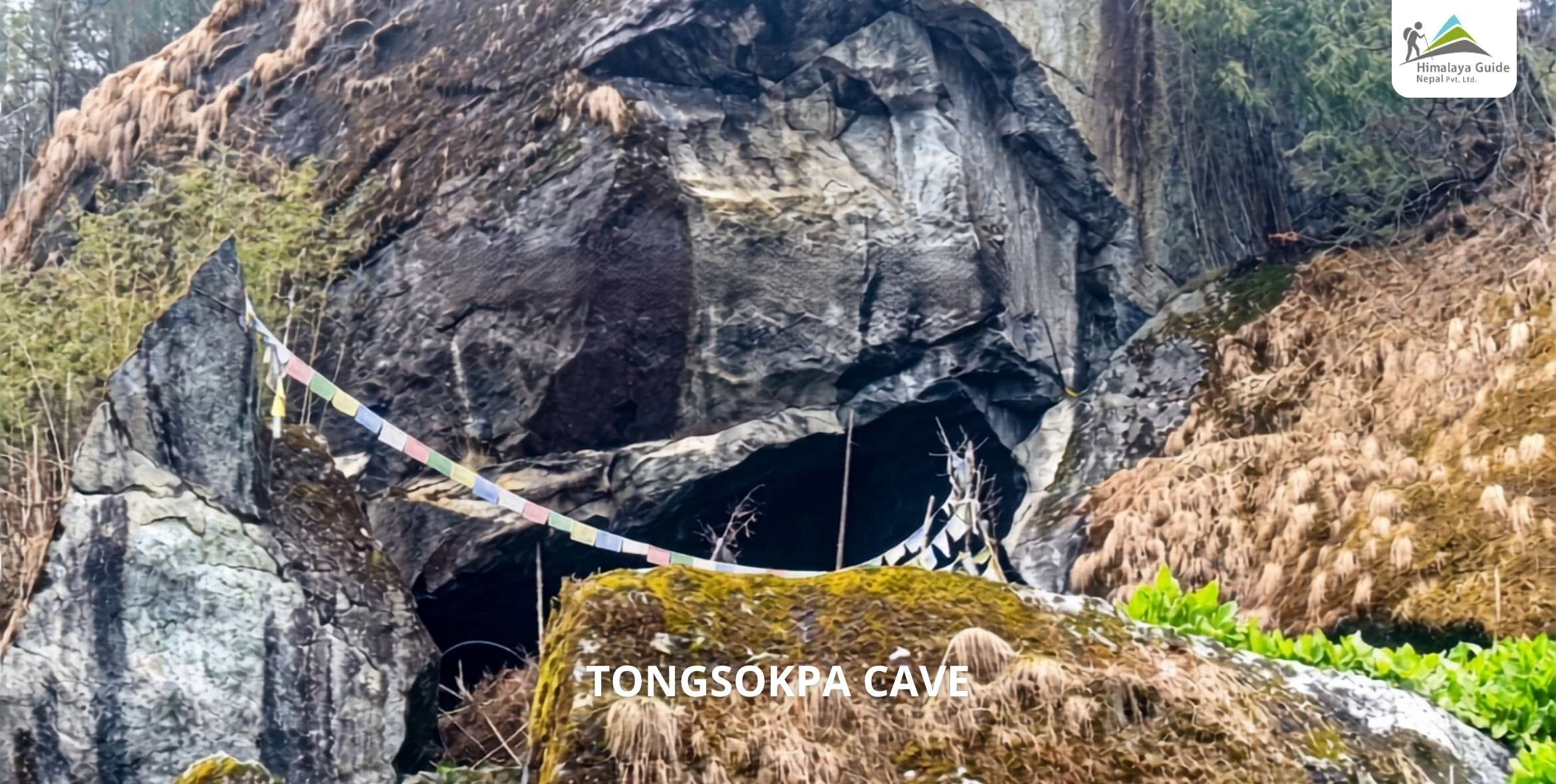
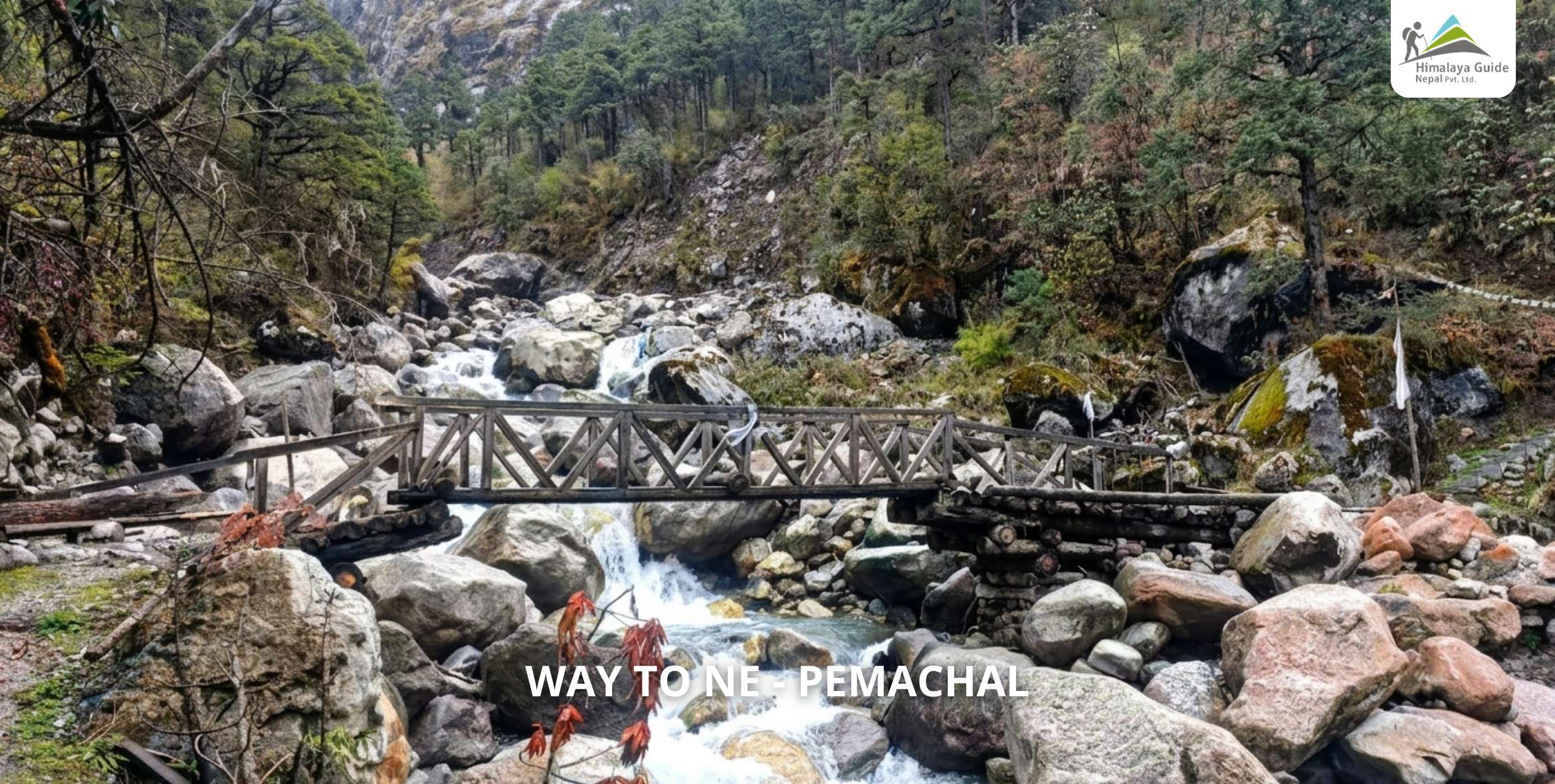
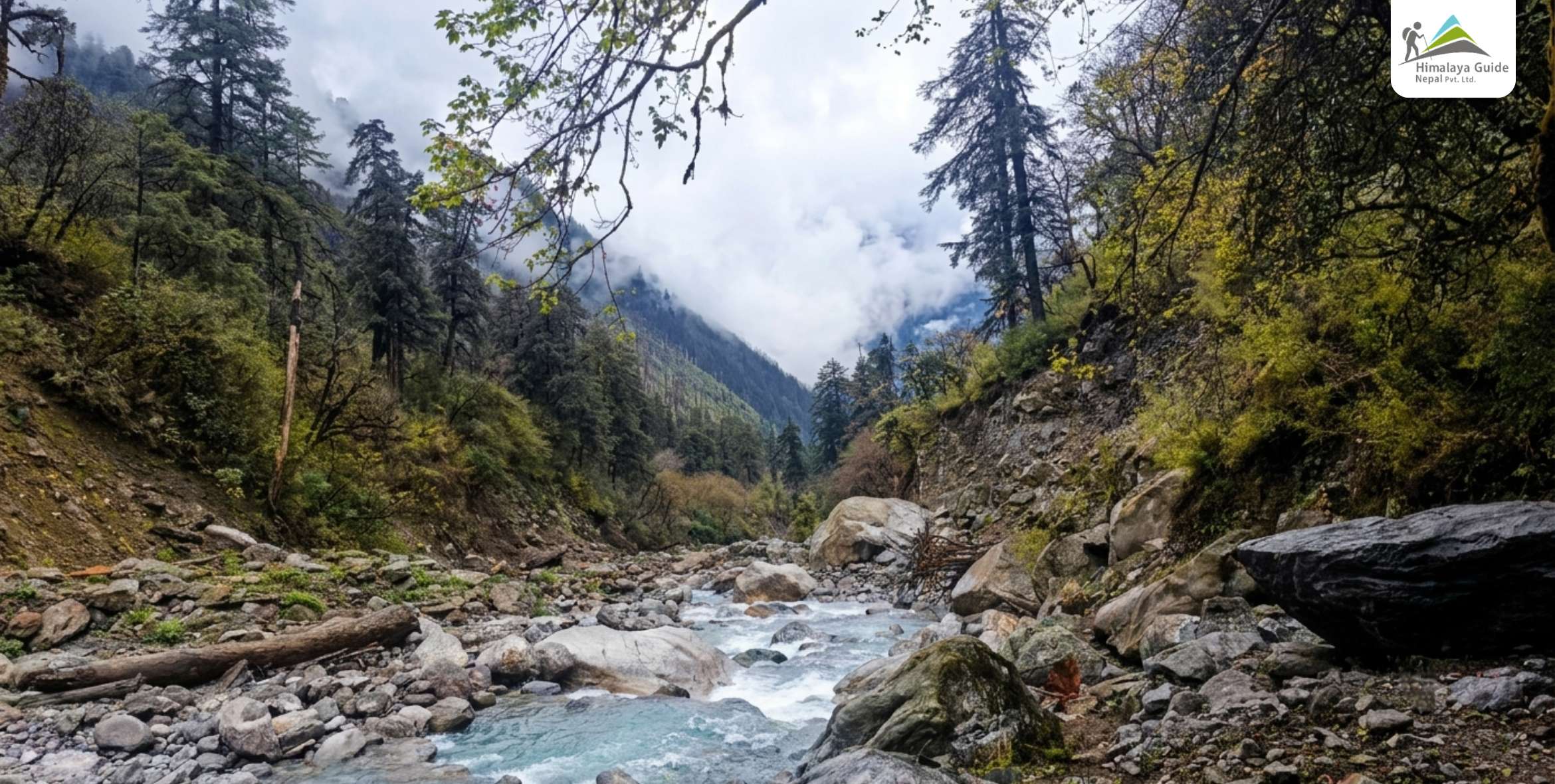
This is the heart of the quiet country. You pass Tongsyup Gupha, also known as (Tongsokpa caves), a cave the local people hold sacred. Streams cut through old forest on both sides of the trail, and small shrines hide among the trees.

By evening you reach Nepemasal, a green pocket of a valley that some call the Shangri-La of this route. Almost no one comes here. Tonight you camp among the trees, with only the sound of water for company.

TONGSOKPA CAVE

Day 09 :

Trek Nepemasal to Bumpaserpa

Trek Distance

10 - 12 KM

Trek Duration

3 - 4 HOURS WALKING

Highest Altitude

4,225 M

Place

BUMPASERPA

Meals

BLD

Accommodation

TENT/CAMP

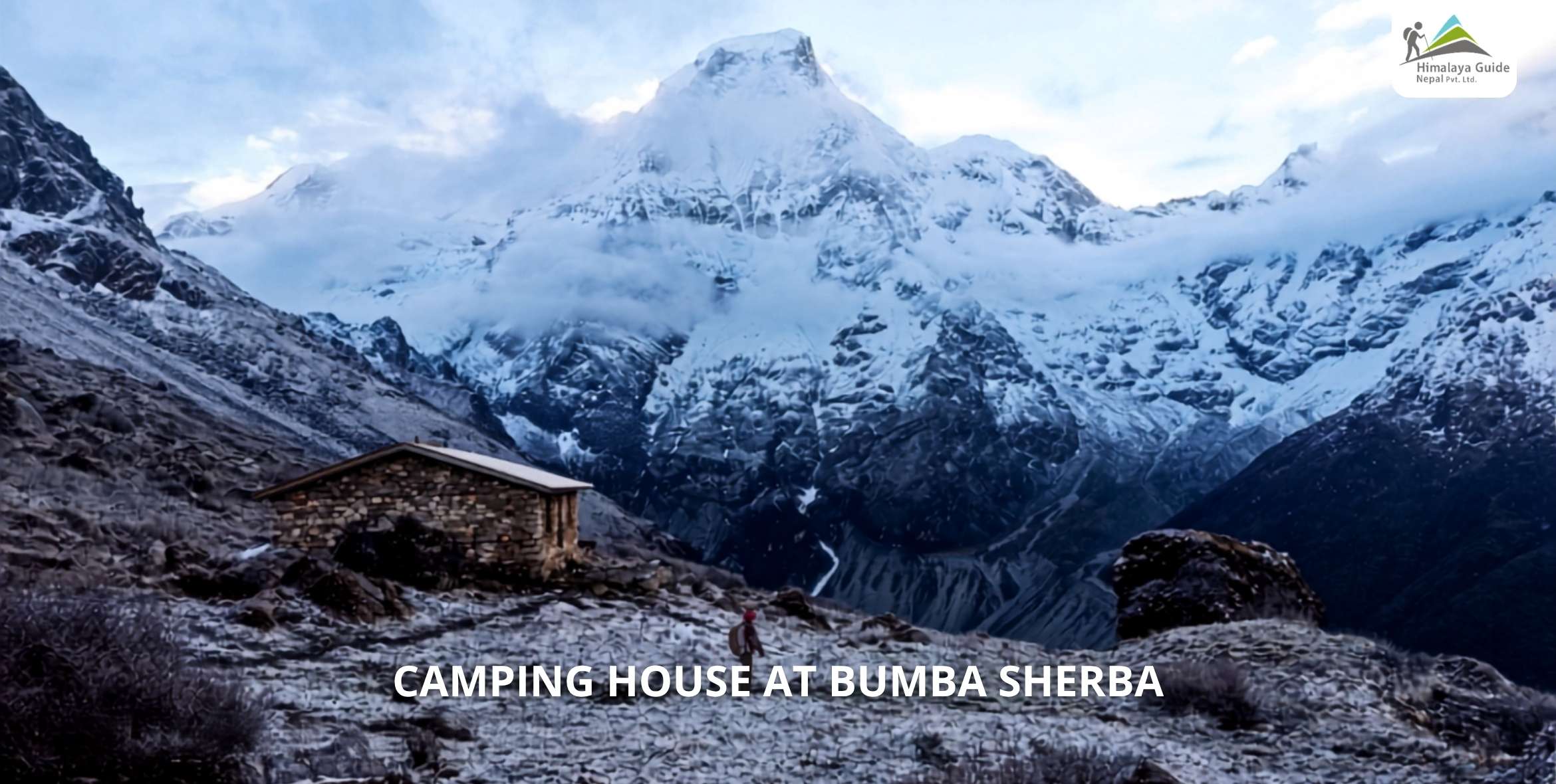
A short day, but a steep one. The trail pushes up hard, the tree line ends, and the ground turns to bare rock and grass. This is where the last lodge stays behind you for a while.

Tonight is your first night under canvas. The air is thin and cold, and the peaks glow pink at dusk. Our cook team sets up camp and feeds you proper high food to keep your strength up.

Day 10 :

Trek Bumpaserpa to Jugal Base Camp via Jugal View Point

Trek Distance

7 - 8 KM

Trek Duration

5 - 6 HOURS WALKING

Highest Altitude

4,500 M, VIEWPOINT 4,400 M

Place

JUGAL BASE CAMP

Meals

BLD

Accommodation

TENT/CAMP

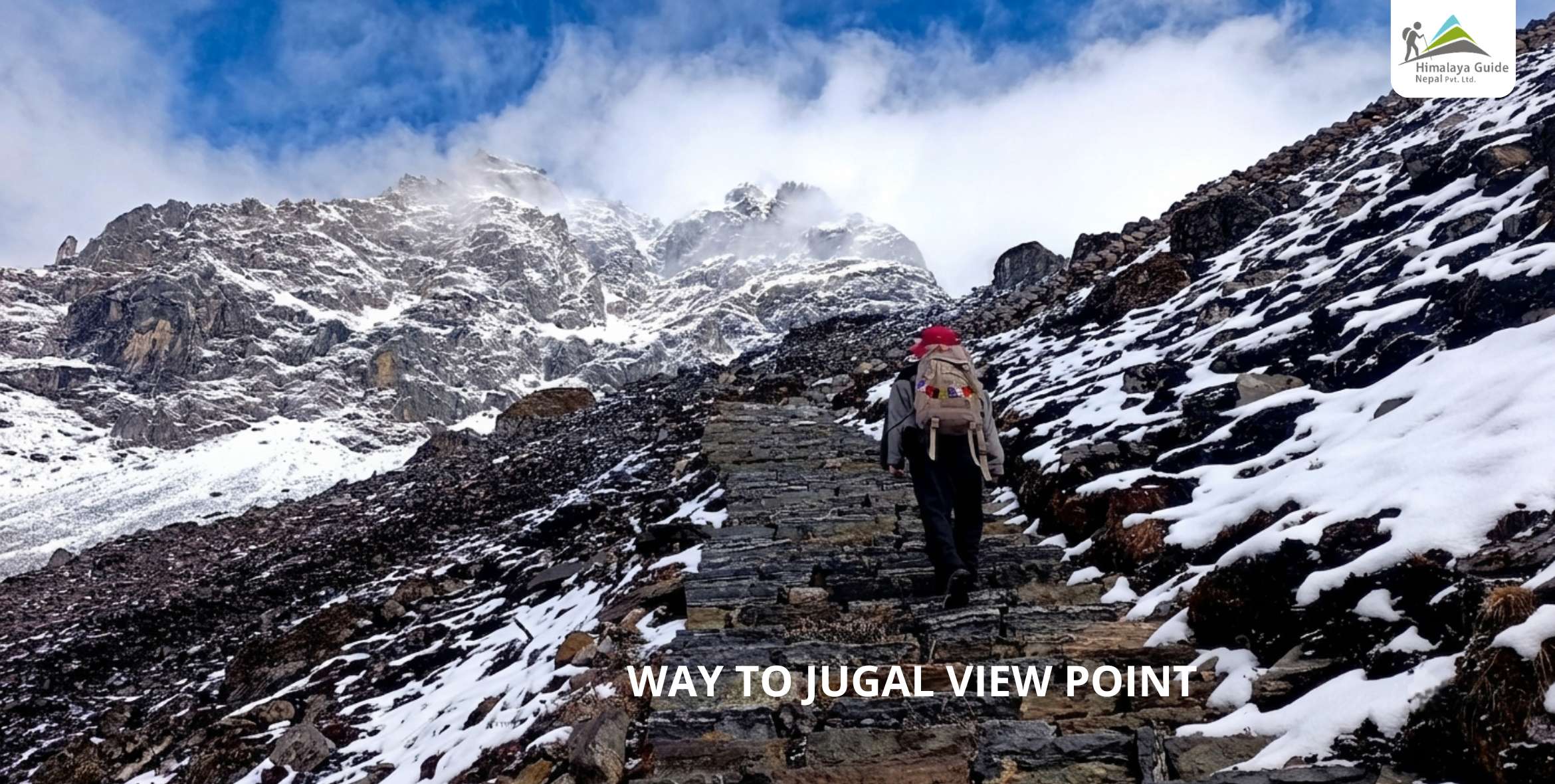
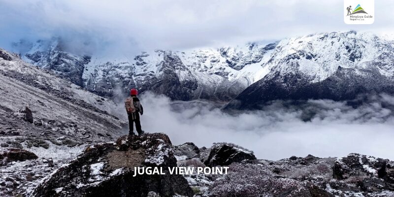
This is the big day into the sanctuary. The route runs beneath Phurbi Chhyachu, past a small glacial lake, and the trail gets rough near the top. A short scramble on fixed rope waits, so trust your guide and go slow.

You cross the Jugal view point, then reach base camp itself. The glacier sits below you and giant peaks ring the camp on every side. Very few people ever pitch a tent in this spot. Tonight, you are one of them.

Day 11 :

Jugal Base Camp to Everest View Point and back

Trek Distance

6 - 8 KM

Trek Duration

5 - 6 HOURS RETURN WALKING

Highest Altitude

5,570 M

Place

Everest View Point

Meals

BLD

Accommodation

TENT/CAMP

This is the day you came all this way for. You start before dawn while the camp is still dark and cold. The climb is steady, the air is thin, and every step takes you higher up the ridge.

From the top you look east, and there they are. Everest and Lhotse on a clear day, with Dorje Lakpa overhead and Shishapangma marking the Tibet line. Take it in, take your photos, then drop back down to camp.Way to Jugal View Point

Day 12 :

Trek Jugal Base Camp to Chhedang Gumba via Nepemasal

Trek Distance

15 - 17 KM

Trek Duration

6 - 7 HOURS WALKING

Highest Altitude

2,636 M

Place

CHEDDANG GUMBA

Meals

BLD

Accommodation

TEAHOUSE

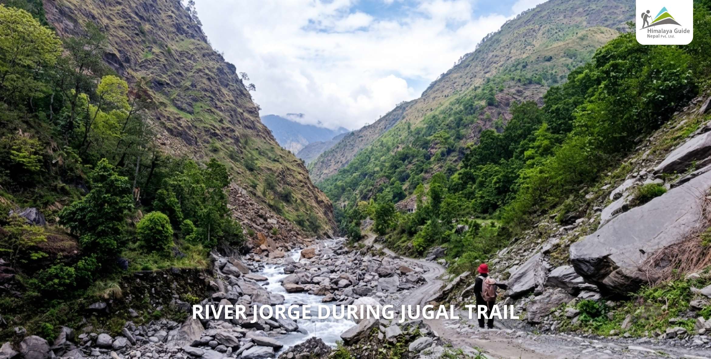
Now you turn for home, but by a fresh trail rather than the way you came. The descent is steep along the riverside, past Palmothang and back into the trees. Your body feels the height ease with every step down.

The lower you drop, the warmer the air gets and the easier you breathe. By evening you are back in teahouse comfort at Chhedang Gumba. After three nights in a tent, a hot cooked meal never tasted so good.Way to Ne - Pemachal

Day 13 :

Trek Chhedang Gumba to Tembathang via Dipu

Trek Distance

14 - 16 KM

Trek Duration

4 - 5 HOURS WALKING

Highest Altitude

2,160 M

Place

TEMBATHANG

Meals

BLD

Accommodation

TEAHOUSE OR HOMESTAY

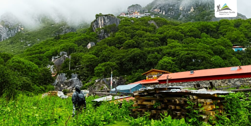
You pass through Dipu and cross the river on your way down the valley. Then you reach Tembathang, a Sherpa village of around 150 homes. Stupas and mani walls line the paths between the old stone houses.

This village was rebuilt after the 2015 earthquake, with help from a Swiss group. The people here are proud of their Sherpa culture. They often ask you to stay in their homes for the night rather than camp outside.

Chhendang

Day 14 :

Trek Tembathang to Kartike

Trek Distance

11 - 13 KM

Trek Duration

4 - 5 HOURS WALKING

Highest Altitude

1,950 M

Place

KARTIKE

Meals

BLD

Accommodation

TEAHOUSE

Your last real day on the trail. You walk down through farmland and forest, with the high mountains now sitting behind you. It is an easy, happy kind of tired that only a long trek can give you.

The path crosses a few small rivers before it drops to the road-head at Kartike. Rest up here for one more night in the hills. Tomorrow you swap the trail for a seat on the bus back to the city.

Day 15 :

Drive Kartike to Kathmandu via Chautara

Drive Distance

APPROX 150 KM

Drive Duration

6 - 7 HOURS

Highest Altitude

1,350 M

Place

Kathmandu

Meals

BLD

Accommodation

3 STAR Hotel

The trek ends with a long drive home through Chautara. We stop for lunch at a roadside spot along the way, and slowly the green hills give way to the noise and traffic of the valley again.

You reach Kathmandu by mid to late afternoon, tired and full of the mountains. That night we share a farewell dinner together. You have finished a trek that most people who visit Nepal will never even hear about.

Inclusion/Exclusion in Jugal Himal Trek, Sindhupalchok

Our Jugal Trek Package Includes

  • Airport pick-up and drop-of
  • Two nights in Kathmandu on a bed and breakfast plan
  • Bus from Kathmandu to Chhimti, and from Kartike back to Kathmandu
  • Three meals a day during the trek
  • Teahouse lodging on the trek, plus one night camping at Bumpaserpa and two at base camp
  • High food for the three camping days
  • A licensed guide, with all his food, salary, insurance and gear covered
  • One strong porter for every two clients, fully covered the same way
  • Sleeping bag, down jacket and duffel bag
  • All trekking permits and government VAT
  • First-aid kit with oximeter, thermometer and altitude medicine
  • Trekking map, fresh and dry fruit, and a farewell meal

Our Jugal Trek Package Excludes

  • Extra night accommodation and food in Kathmandu.
  • Travel insurance is required for the trek and travel period.
  • Require Porters for the trip.
  • Hot and soft table drinks, such as Tea/Coffee, Coke, Mineral Water, and beer.
  • Personal expenses (laundry, bar bill, telephone, extra helper, battery charge for the shower, and boiled water).
  • Tips are expected by trekking staff.
Private Trip Booking

Prefer a more personal journey? Our private packages offer flexible dates, custom itineraries, and dedicated support—perfect for those seeking a tailored travel experience.

How Is the Jugal Himal With Panch Pokhari Trek Itinerary the Best?

Our Jugal Himal with Panch Pokhari Trek continues from the Panch Pokhari lakes, drops into the wild valley, then climbs to the base camp at the foot of the glacier. On the highest day, we push to the Jugal viewpoint for the Everest sight line.

We also built this as a loop, not a there-and-back. You come in from the Melamchi side and walk out through the Sherpa village of Tembathang. You will never repeat a trail. Every day shows you something new.

Yes, it is more off-beaten than the short. The upper valley has rough trail, river crossings, and a short scramble near the base camp with fixed rope in a few spots. This is exactly why you want a team that knows the ground.

Our licensed guides carry a first-aid kit with an oximeter and altitude medicine, and we camp with proper high-altitude food on the days past the last lodge. You handle the walking. We handle the rest.

Newly Established Trekking Route in 2026: Jugal View Point

The Jugal peaks were opened for climbing by the Nepal Mountaineering Association only in 2023. Before that, the deep core of this range sat almost untouched. The trails past the lakes are still new and rough because of it.

And that is the opening. We have shaped the push to the 5,570m Jugal viewpoint into a proper route for 2026. From that ridge you look east to Everest and Lhotse, up at Dorje Lakpa, and across to Gaurishankar and Langtang. On a clear day it is one of the widest mountain views in the country.

So which do you want? The crowds of the Everest trail, or the silence of a route almost no one has done. If it is the silence, come now, before word gets out.

Get a free itinerary from our team, and we will build your dates around the best weather window.

Questions & Answer about Jugal Himal, Panch Pokhari Trek

Ready to Start
Your Adventure?

Join thousands of happy travelers who
Choose Himalaya Guide Nepal Pvt.Ltd.

Plan Your Trip