Mount Everest is perhaps a dream destination for climbers and explorers. This summit is on many mountaineers’ bucket lists because it is the world’s tallest peak above 8,000 meters. The Mount Everest Base Camp elevation is 5,364 meters above sea level. Trekkers, likewise, want to reach the highest mountain base camp only once in their lives.
People who want to admire the mountain’s stunning natural beauty and natural landscapes should choose Everest Base Camp Journey as their next journey. Furthermore, the base camp offers wonderful opportunities to learn about the local culture and way of life.
You can get a taste of Tibetan culture because the lifestyle and culture of Nepal’s Himalayan region are comparable to those of Tibet. Similarly, a good view of the entire Himalayan range is possible.
The Everest Base Camp journey is a once-in-a-lifetime experience. On this hike, one may experience nature’s sublimation with breathtaking sights of natural landscapes, icefalls, panoramic mountain views, and massive glaciers.
In an ideal world where people are interested in leisure activities, they like to stand at the base camp of the world’s tallest peak. People with good physical fitness and a strong mentality can usually reach the base camp of the world’s tallest peak. The views from Kala Patthar are the most breathtaking.
- It is located in the base camp of the world’s tallest peak, at an elevation of 5,364 meters.
- View the sunrise and sunset from Kala Patthar, a well-known Everest viewpoint.
- A scenic flight to the high-altitude Hilary Tenzing airstrip in Lukla.
- Visit a Sherpa hamlet to learn about their culture, which is similar to Tibetan culture.
- A full-day exploration focuses on Namche Bazar, the starting location for the Everest Base Camp hike.
- Visit the Tengboche and Dingboche monasteries.
- The Khumbu Glacier and Khumbu Icefalls are a sight to see.
- Learn about the local flora and fauna as you go through Sagarmatha National Park.
Everest, the world’s tallest peak, has two base camps. From Nepal’s border with Tibet, autonomous China, there are two major routes to Everest Base Camp.
Nepal is on the southern route, whereas China is on the northern route. Similarly, the Everest southern base camp lies in Nepal, whereas the Everest northern base camp lies in China.
Climbers use base camps, which are campsites at the mountain’s base, to ascend and descend the peak.
South Everest Base Camp Elevation

The southern base camp in Nepal is located at a height of 5,364 meters. Trekkers ascending along the southern ridge utilize the south base camp.
Because the South Base Camp lacks access to a road, supplies are carried by porters on yaks.
The Everest Base Camp Trek on the south slope, at an elevation of roughly 17,900 feet, is one of the most popular routes for trekkers.
Almost 40,000 people walk to the base camp each year. Trekkers typically fly from Kathmandu to Lukla and begin their trek from Lukla to Namche Bazar, the beginning point for the Everest Base Camp Trek.
Trekkers spend a day here before continuing on to Dingboche monastery, which is two days away. They’ll need two or three days to get to Everest’s base camp via Gorakshep.
North Everest Base Camp Elevation

If you want to visit the base camp from the north, you must first obtain a Chinese government permit and then travel to Tibet.
Since 2019, tourists have been unable to enter the north base camp. Previously, these rights could be acquired as part of a package from travel agencies.
The north base camp is 5,200 meters above sea level and is easily accessible by bus or other kinds of transportation.
Everest base Camp Elevations in Feet and Meters
The tallest peak in the world has base camps on both its southern and northern sides.
The base camp is located in Nepal, at an elevation of 5,364 meters (17,598 feet), and in Tibet, at an elevation of 5,150 meters (17,598 feet) (16,900 ft).
The southern base camp is also higher than the northern base camp. Similarly, hikers like the southern base camp excursion, with over 40000 trekkers embarking from here each year to reach base camp. In contrast, the base camp journey in China is around halfway between Rongbuk Monastery and the Rongbuk Glaciers.
Everest Base Camp Elevation gain
Trekkers must consider few major risks before starting on the Everest Base Camp Trek. By combining the daily walking distance, the weight you will carry on the trek, and the lack of oxygen in your body, you may develop an appropriate training plan for your excursion.
Elevation gains are critical to your training since they allow you to guarantee that you are improving in your daily sessions. The following table summarizes the elevation increases for the base camp trek to the world’s tallest mountain.
Take a flight to Lukla

You will fly from Kathmandu to Lukla airport. The elevation of Lukla Airport is 2,850 meters (9,350 feet). After hiking from 1,350m, you’ll be about 2,800m above sea level. As a result, you will rise in elevation. You’ll walk through town to Monjo from the airport, but if we arrive late for the mountains, we’ll stay in Phakding. The hike is around 13 kilometers long. There are a lot of up-and-down steps on this portion of the trail.
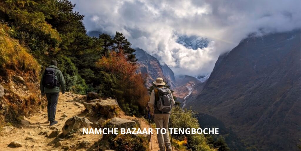
The Namche Bazaar

The height increase if you start trekking from Monjo is 2,835 meters. Then it’s uphill to Namche Bazaar, where you’ll cross a suspension bridge at an elevation of about 740m/2,427ft.
After the modest downhill sections, Namche will take roughly 4 hours to reach. After crossing through the national parks of Jarsalle and Sagarmatha, you’ll descend to a hill and walk alongside the river before mounting the suspension bridge.
The climb up to Namche from the bridge takes about two hours. The hike is around 8 kilometers long.
Day of acclimatization
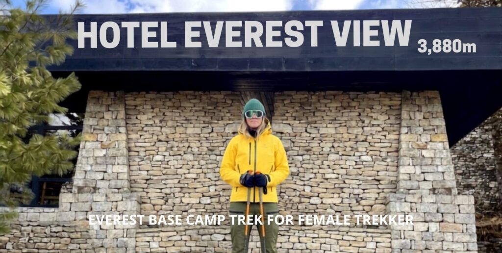
We’ll spend the day in Namche Bazaar getting used to the higher altitude. We’ll adapt by climbing 120 meters to the Sherpa museum in A Namche, which is around 3,500 meters above sea altitude.
Furthermore, the hike only lasts 30 minutes. The team will relax and adjust to the decreased oxygen levels for a few hours while appreciating the wonderful views from the museum.
Similarly, Sangbouche Hill is accessible by hiking up to 460 meters. The voyage is all about your body acclimating to the new environment and low oxygen levels.
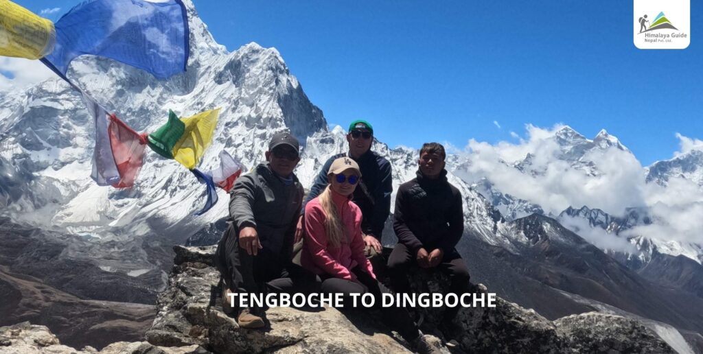
Tengboche

Today we will ascend 260 meters/ 800 feet from Namche Bazar to the mountain’s edge. You’ll then drop to 300 meters/984 feet for lunch.
The climb continues after lunch to Tengboche Hill, which stands at 600 meters/ 1,968 feet. The trek to Tengboche takes around 2 hours, with a total hiking time of 6 hours including ascents and descents.
This is another difficult walk for most people. The trek is 12 kilometers in length.
Dingboche

Today, we’ll gain 4,410m/14,470ft in height. We will begin at 4,410m and drop 110m/360ft to the river’s side before ascending to 518m/1,673ft.
After going through Pangbouche, the trail proceeds to Dingboche. Today’s journey takes about 6 hours and covers a distance of 12 kilometers.
Day Two of Acclimatization
Today is the trip’s second acclimatization day. This is a critical step in completing the Everest Base Camp Trek successfully. After that, you’ll spend two days acclimating in Dingboche. Today, climb to 490m/ 1,600ft, rest for a while, and then return to the starting place.
The trip takes around four hours, and you’ll be close to the base camp by the end. The mountains begin to close in on you, and the view will take your breath away if the weather is clear. Today you’ll cover 3 kilometers.
Lobuche

It is yet another destination on the Everest Base Camp Trek. The area is full of natural beauty and visitors can discover new things. as well as various cultures and traditions.
So today you’ll hike up to 510m/1,700ft. You’ll begin in Lobuche and go to Tukla for an early lunch. After lunch, begin the uphill climb, which should take about an hour.
Stop at the Everest Memorial at the Tukla Pass’s summit. The inclination now is more uphill. Similarly, the total hiking time will be roughly 6 hours, covering a distance of 12 kilometers.
Gorakshep, Everest Base Camp

Today marks the start of your journey to base camp. You will be 5,364 meters above sea level. To reach Everest Base Camp, you must ascend 400 meters/1,300 feet. The trip today will be longer.
If you depart at 6 a.m., you’ll arrive at base camp by 12 or 1 p.m. Spend some time exploring the mountains there.
Hike back from the base camp to Gorak Shep. Today’s trek is ten kilometers long.
Kala Patther-Pheriche
Today is another amazing day for you, standing tall at an elevation of 5,645m/1,8520ft at Kala Patthar. Begin the trek to Kala Patthar early in the morning.
You’ll gain 365 meters (1,200 feet) of elevation at Kala Patthar. Then, at 1,127m/3,700ft, drop to Pherchie. The journey is 18 kilometers long in total.
Namche Bazaar At 1,000 meters/ 3,280 feet, hike down to Namche Bazaar. The hike today will be long, but it will be easier because it will be downhill.
Lukla
Finally, to reach Lukla, descend to 700m/2,296ft and then ascend to 365m/1,200ft.
Where is the Everest Base Camp?
Mount Everest, the world’s highest peak, is located on the border of two Asian countries, Nepal and China. It is located in Tibet’s Qing Zang Gaoyuan plateau in the Mahalangur range.
However, in Nepal, it is found in the Solukhumbu district of the Sagarmatha National Park. As a result, climbers from both Nepal and Tibet can reach Everest’s summit.
Every year, hundreds of people attempt to climb Everest, but only a small number of them succeed.
As a result, most people choose to trek at least to the base camp, with only a few choosing to travel to Nepal and the other half choosing to travel to China, specifically Tibet.
Nepal
Nepal is a South Asian sovereign state with a land area of 14,7181 square kilometers. this is a landlocked country bordered by India to the east, south, and west, and China to the north.
This is a multi-ethnic country with a diverse geography and Nepali as its official language. Nepal is home to eight of the world’s ten tallest mountains, including the world’s highest peak, Mt. Everest.
Trekking to the Everest base camp is another popular activity in Nepal. Nepal is on the base camp’s southern ridge. The Nepalese base camp is located at a height of 5,364 meters (17,598 feet).
China
The other country that borders Everest is Tibet, a Chinese autonomous state. Everest’s Tibetan name is Chomolungma.
China, formally the inhabitants’ Republic of China, is the world’s most populous country, with 1.4 billion inhabitants in 2019. With a total area of 9.6 million square kilometers, it is the world’s third-largest country.
China’s topography, on the other hand, ranges from the arid Gobi and Taklamakan Deserts in the north to subtropical woodlands in the south. China is on the base camp’s northern outskirts.
The Chinese base camp is 5,150 meters (16,900 feet) above sea level.
Altitude Sickness at Everest Base Camp Elevation
When people have difficulty adjusting to a higher altitude when oxygen levels are exceptionally low, they suffer from acute mountain sickness, often known as altitude sickness.
The majority of cases of altitude sickness are modest, with symptoms including headaches, nausea, and dizziness. Some patients, however, may experience a catastrophic fluid buildup in their brains and lungs.
At altitudes of more than 2,500 meters above sea level, acute altitude sickness can occur.
Because of the risk of altitude sickness, humans require more time to acclimate to higher altitudes. However, because the majority of passengers and hikers originate at lower elevations.
As a result, they will need to adjust to the higher altitude for some time. A case of altitude sickness might arise at any time when above 2,500 meters. Therefore, the human body needs specific psychological, and physical conditions to rise at a high altitude.
North and South Ridge Altitude Sickness
The base camps of the world’s tallest peaks from the south and north. The base camp’s southern side is in Nepal (17,598 ft) at an elevation of 5,364 meters.
Similarly, the northern part of the base camp lies in Tibet, at 5,150 meters (16,900 feet). The base camp’s southern side is higher than its northern side.
Low airflow and high altitude conditions are the main causes of altitude. If you experience nausea, vomiting, fainting, rapid pulses, or extreme dehydration, seek medical treatment immediately.
The trip to Everest Base Camp is thrilling and adventurous, but it is also highly perilous. Everyone who has never traveled over 2,500 meters should be concerned about altitude sickness.
The foliage progressively fades as you ascend higher.
Trekkers will begin their expedition in Kathmandu at 1,350 meters and travel to Lukla Airport at 2,800 meters.
Following Lukla, trekkers must pass through many areas with elevations of around 3,800m, offering a significant risk of altitude sickness.
Here are various journeys done by experienced trekkers and mountaineers to lessen the risk of altitude sickness:
Slowly ascension
Trekkers should walk slowly or ascend slowly to allow their bodies to acclimate to a new environment because our bodies require time to acclimate.
Restful Acclimatization
A climb to a higher altitude necessitates two days of acclimatization to the surrounding environment. Hike as high as you can on the day of accommodation, then return to a lower elevation.
This will allow your body to adjust to its new environment, lowering the risk of altitude sickness.
Avoid consuming alcohol, cigarettes, and tobacco.
Trekkers must travel uphill and downhill to reach Everest base camp, which requires high physical fitness.
Alcohol, cigarettes, and tobacco, on the other hand, might dehydrate you by lowering the water levels in your body. As a result, your heart rate lowers, making you vulnerable to altitude sickness.
Alcohol, cigarettes, and tobacco, on the other hand, might dehydrate you by lowering the water levels in your body. As a result, your heart rate lowers, making you vulnerable to altitude sickness.
Everest Base Camp Itinerary and Elevation
Everest base camp is a dream location for trekkers from around the world. It’s an excellent destination to visit if you appreciate nature and natural resources.
The base camps of the world’s tallest peaks from the south and north. The base camp’s southern flank is located in Nepal (1,7598 ft) at an elevation of 5,364 meters.
Similarly, the northern part of the base camp lies in Tibet, at 5,150 meters (16,900 feet).

Conclusion
The Everest base camp is a well-known trekking destination in Nepal. Many trekkers are interested in the Everest Base Camp Trek.
The Everest base call is an excellent way to explore the Himalayan region while learning about Buddhist culture and temples.
The Everest base camp tour is one of the top places for people who wish to learn about nature and its resources.
Furthermore, we see stunning scenery, experience Nepalese mountain life, explore Sagarmatha National Park, visit Buddhist heritage sites, and learn about Tibetan culture and tradition at the world’s highest summit’s base camp.
You’ll also pass via Namche Bazaar, Tengboche, Dingboche, Duglha, and Lobuche, among other places.
You May Be Interested In: